 Block
Federal Hill, Indiana
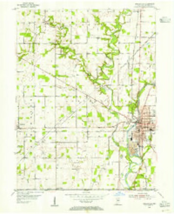
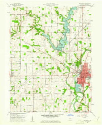
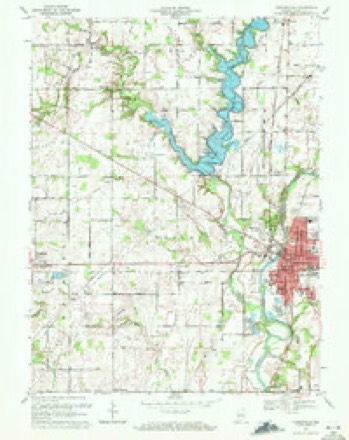
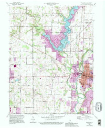
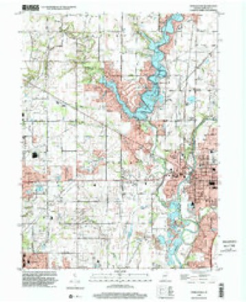
15 topographic sheets cover this place, the earliest surveyed in 1953 and the latest in 1998. It stands in Noblesville Township. It lies in ZIP code area 46060. It stands on East Fork Sly Run. The Survey maps it on the Noblesville quadrangle.
On record in Federal Hill
Buildings and businesses the archive holds for this place. Each opens its own page, with the source record it came from.
On the National Register within a mile 12 of 13 shown
The National Register names another town for these. They stand within one mile of this settlement's coordinate.
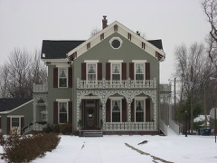 Robert L. Wilson Houselisted 2008 · 0.5 miles away
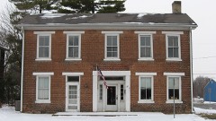 Judge Earl S. Stone Houselisted 1978 · 0.5 miles away
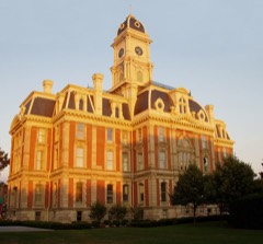 Hamilton County Courthouse Squarelisted 1978 · 0.5 miles away
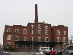 Noblesville Milling Company Milllisted 2001 · 0.5 miles away
 Noblesville Commercial Historic Districtlisted 1991 · 0.6 miles away
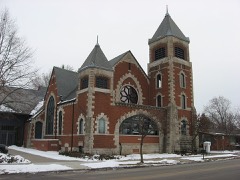 South 9th Street Historic Districtlisted 2001 · 0.6 miles away
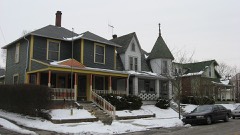 Catherine Street Historic Districtlisted 2001 · 0.6 miles away
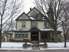 Dr. Samuel Harrell Houselisted 1984 · 0.6 miles away
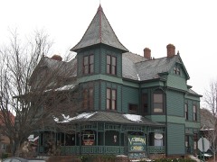 Daniel Craycraft Houselisted 1989 · 0.7 miles away
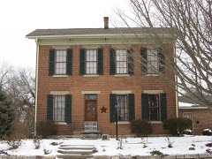 Cole-Evans Houselisted 2000 · 0.7 miles away
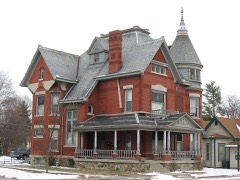 William Houston Craig Houselisted 1990 · 0.8 miles away
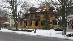 Conner Street Historic Districtlisted 1999 · 0.8 miles away
Topographic sheets covering this place
9 surveys from 15 printed sheetsMatched by testing this settlement's coordinate against the published boundary of every sheet in the United States Geological Survey's historical collection. Each opens the scanned sheet at the Survey.
- 1953 USGS Danville quadrangle1:250000, 3 printings
- 1953 USGS Noblesville quadrangle1:24000
- 1955 USGS Danville quadrangle1:250000
- 1956 USGS Danville quadrangle1:250000
- 1960 USGS Noblesville quadrangle1:24000, 2 printings
- 1969 USGS Noblesville quadrangle1:24000, 3 printings
- 1984 USGS Lafayette quadrangle1:100000, 2 printings
- 1992 USGS Noblesville quadrangle1:24000
- 1998 USGS Noblesville quadrangle1:24000




What happened here
An account from the chapter on Noblesville township. The inset identifies its exact source book and publication year.
A Dread Visitation
In 1850 Noblesville met with quite a misfortune which retarded its pros¬ perity for some years. The town was visited by an epidemic of cholera, and many succumbed to the dread disease. Mr. Shirts ably gives us this account of the epidemic. "In the year 1850, L. N. Emmons, on his way from Wash¬ ington city to his home in Noblesville was attacked by the cholera.
In the county-history sources
10,670 words on this townshipHistory of Hamilton County Indiana, published 1915 names this settlement in its chapter on Noblesville Township. These are the passages that mention it, exactly as the scans read.
After Professor Leaderhause left Noblesville two bands were organized, one known as the Citizens Band, the other as the G. A. R. Band. Both of these organizations participated in the soldiers* reunion and encampment which was held in the fair grounds on Federal Hill in the summer of 1888.
Passage source: History of Hamilton County Indiana, published 1915.
Machine-read from a century-old scan, so expect the errors a machine makes: misspelled names, dropped words, stray characters.
Read the whole chapter on Noblesville Township - it names this place 1 more 1 time.
Fires near this place
1 since 2004Regional context, not property-specific evidence. The federal wildfire occurrence database lists 1 fire within 5 miles of Federal Hill in 2004, burning under an acre in total. None started naturally. None was recorded as arson. Distance is straight-line from the map coordinates, so a fire counted here may appear on a neighbouring settlement's page as well.
| Reported cause | Fires |
|---|---|
| Equipment and vehicle use | 1 |
The most recent of them, most recent first, with the day each was reported and the service that recorded it.
| Date | Cause | Size | Reported by | Name on the report |
|---|---|---|---|---|
| 23 September 2004 | Equipment and vehicle use | under an acre | Indiana State Fire Marshal's Office | not named |
Settlements close enough to share some of these fires:
Mines and quarries near this place
5 within 5 milesRegional context, not property-specific evidence. The federal mineral resources record lists 5 workings within 5 miles of Federal Hill: 4 producers, 1 past producer. 4 still produce. What was taken out: Sand and Gravel, Construction, Stone, Crushed/Broken. Distance is straight-line from the map coordinates, so a quarry counted here may appear on a neighbouring settlement's page as well.
| Where | Site | Commodity | Status | Recorded |
|---|---|---|---|---|
| Stony Creek Stone Company Ops | Stone, Crushed/Broken | Producer | ||
| Beaver Gravel Corp Pit | Sand and Gravel, Construction | Producer | ||
| Riverwood Gravel Pit | Sand and Gravel, Construction | Producer | ||
| Road Materials Pit | Sand and Gravel, Construction | Past Producer | ||
| U.S. Aggregates Inc. | Sand and Gravel, Construction | Producer |
Nearest settlements
The eight closest, with where each one stands in the county. Distances are straight-line, computed from the Geographic Names Information System coordinates.
| Map | Place | Distance | Sheets |
|---|---|---|---|
| West Noblesville | 0.2 miles | 15 | |
| Monterey Village | 0.5 miles | 15 | |
| Noblesville | 0.8 miles | 15 | |
| Meadows Glen | 2.5 miles | 15 | |
| Meadows Knoll | 2.9 miles | 15 | |
| Kingston Estates | 3.4 miles | 19 | |
| Inverness Estates | 3.6 miles | 19 | |
| Weaver Creek | 3.6 miles | 19 |
Provenance
This settlement is recorded in the Geographic Names Information System as feature 434428. The sheet list is computed by point-in-boundary test against the United States Geological Survey's historical topographic inventory. Both are works of the United States government and carry no copyright under 17 U.S.C. 105.
Wildfire. Short, Karen C. 2022. Spatial wildfire occurrence data for the United States, 1992-2020 [FPA_FOD_20221014]. 6th Edition. Fort Collins, CO: Forest Service Research Data Archive. https://doi.org/10.2737/RDS-2013-0009.6 Collected with United States Government funding and usable without additional permissions or fees.
Mines and quarries. USGS Mineral Resources Data System (MRDS) https://mrdata.usgs.gov/mrds/ A work of the United States government, no copyright under 17 U.S.C. 105.