 Block
Freedom, Indiana
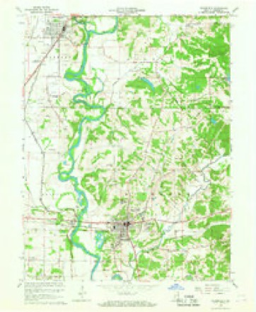
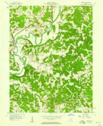
17 topographic sheets cover this place, the earliest surveyed in 1908 and the latest in 1986. It stands in Franklin Township. It lies in ZIP code area 47431. It stands on Goose Creek. The Survey maps it on the Freedom quadrangle. It stands 538 feet above sea level.
Topographic sheets covering this place
7 surveys from 17 printed sheetsMatched by testing this settlement's coordinate against the published boundary of every sheet in the United States Geological Survey's historical collection. Each opens the scanned sheet at the Survey.
- 1908 USGS Bloomfield quadrangle1:62500
- 1953 USGS Indianapolis quadrangle1:250000, 4 printings
- 1956 USGS Freedom quadrangle1:24000, 5 printings
- 1956 USGS Indianapolis quadrangle1:250000
- 1957 USGS Indianapolis quadrangle1:250000, 2 printings
- 1962 USGS Indianapolis quadrangle1:250000
- 1986 USGS Bloomington quadrangle1:100000, 3 printings





Storms near this place
15 since 1998Regional context, not property-specific evidence. The National Weather Service names Freedom in 15 storm reports between 1998 and 2025: 5 hail, 4 thunderstorm wind, 2 tornado, 2 flash flood. No death or injury is recorded in these reports. Each account below is quoted exactly as the forecast office filed it, from the NOAA Storm Events Database, and each date opens the federal record of that event.
| When | Event | Place named | Harm | What the report says |
|---|---|---|---|---|
| June 2021 | Flash Flood | Freedom | $20,000,000 | Numerous local and county roads closed due to high water. A couple were rescued by boat from the roof of their vehicle on State Road 43. Additional water rescues were done across Owen and Monroe counties. 1500 Fish Creek road was completely flooded with water rapidly flowing across the road. White Road along Raccoon Creek was destroyed by flood waters. Across the county roads have suffered severe damage, 23 culverts have been washed out and 2 bridges have significant damage. In all, over 30 Owen County roads are closed. A local emergency disaster declaration was created later in the day. |
| May 2004 | Tornado (F1) | Freedom | $300,000 | An F1 tornado skipped along for almost 8 and a half miles from near Freedom to Spencer. A few homes received significant damage about midway along the path of the tornado. |
| June 2019 | Tornado (EF1) | Freedom | $100,000 | The EF-1 rated tornado, with max wind speeds of 110 mph, began just southwest of downtown Freedom before moving into the town shearing numerous trees around town. The tornado continued to the northeast leaving a very clear path of sheared and uprooted trees in a path about 200 yards wide. The storm crossed the White River several times over its lifetime and followed the river line to south of Spencer. This is where a large building had its roof uplifted and walls collapsed. The building was part of a business that was set to open for the first time on Monday. The damage ended shortly after and the storm recycled into the next tornado. |
| May 2013 | Thunderstorm Wind | Freedom | $15,000 | Trees were reported down, along with some structural roof damage, due to damaging thunderstorm wind gusts. Power outages were also noted, along with dime sized hail. |
| July 2012 | Thunderstorm Wind | Freedom | $10,000 | Trees were reported down on Gloryville Road, one mile southwest of Freedom, due to damaging thunderstorm wind gusts. Trees were also down on Parrish Road and Harrington Road near Freedom. |
| March 2025 | Thunderstorm Wind | Freedom | $2,000 | Tree of unknown size downed by thunderstorm wind gusts. |
| June 2008 | Heavy Rain | Freedom | - | Measured rainfall of 6.80 inches was reported. |
| June 2008 | Flash Flood | Freedom | - | Traffic was reduced to one lane on SR 67 by flood waters over roadway. |
| August 2004 | Thunderstorm Wind | Freedom | - | Trees were blown down. |
| May 2017 | Hail | Freedom | - | no account filed |
| June 2010 | Funnel Cloud | Freedom | - | no account filed |
| April 2007 | Hail | Freedom | - | no account filed |
| November 2002 | Hail | Freedom | - | no account filed |
| November 2002 | Hail | Freedom | - | no account filed |
| June 1998 | Hail | Freedom | - | no account filed |
Nearest settlements
The eight closest, with where each one stands in the county. Distances are straight-line, computed from the Geographic Names Information System coordinates.
| Map | Place | Distance | Sheets |
|---|---|---|---|
| Farmers | 2.5 miles | 17 | |
| New Hope | 2.7 miles | 17 | |
| Pottersville | 2.9 miles | 17 | |
| Vilas | 3.0 miles | 17 | |
| Arney | 3.4 miles | 17 | |
| Adel | 4.0 miles | 17 | |
| Braysville | 5.0 miles | 17 | |
| Hancock Corner | 5.2 miles | 16 |
Elsewhere
Matched on this settlement's Geographic Names Information System number rather than its name, so it cannot be a different place of the same name in another state.
| Wikipedia article on Freedom | An encyclopaedic summary. Its text is share-alike, so it is linked here rather than copied. |
| Wikidata item Q5500426 | The structured record the population and elevation above come from. Public domain (CC0). |
Provenance
This settlement is recorded in the Geographic Names Information System as feature 434803. The sheet list is computed by point-in-boundary test against the United States Geological Survey's historical topographic inventory. Both are works of the United States government and carry no copyright under 17 U.S.C. 105.
Storms. NOAA National Centers for Environmental Information, Storm Events Database https://www.ncei.noaa.gov/stormevents/ A work of the United States government, no copyright under 17 U.S.C. 105. Narratives are quoted verbatim from the National Weather Service report and are not edited or summarised.