 Block
Gary, Indiana
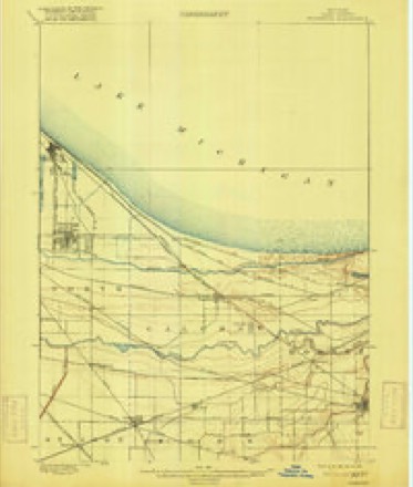
20 topographic sheets cover this place, the earliest surveyed in 1900 and the latest in 1991. It stands in Calumet Township. It lies in ZIP code area 46402. The Survey maps it on the Gary quadrangle. 69,093 people lived here at the 2020 count. It stands 591 feet above sea level.
On record in Gary
Buildings and businesses the archive holds for this place. Each opens its own page, with the source record it came from.
On the National Register 12 of 29 shown
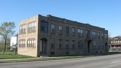 American Sheet and Tin Mill Apartment Buildinglisted 2009
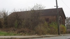 Louis J. Bailey Branch Library-Gary International Institutelisted 2004
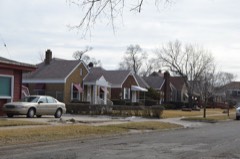 Combs Addition Historic Districtlisted 2014
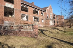 Ralph Waldo Emerson Schoollisted 1995
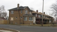 Eskilson Historic Districtlisted 2014
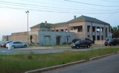 Gary Bathing Beach Aquatoriumlisted 1994
 Gary City Center Historic Districtlisted 1994
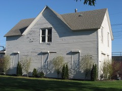 Gary Land Company Buildinglisted 1979
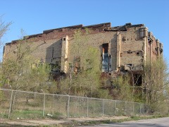 Gary Public Schools Memorial Auditoriumlisted 1994
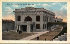 Gary Union Stationlisted 2019
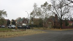 Horace Mann Historic Districtlisted 2013
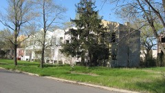 Jackson-Monroe Terraces Historic Districtlisted 2009
Population over time
3 figuresGary grew from 15,802 to 69,093 between 1910 and 2020. These are the recorded population figures Wikidata holds for this place, reached through the Geographic Names Information System number this page is keyed on rather than by name, so they belong to this place and not to another of the same name. Most are census counts, but not all are: an early figure may be a founding or settlement estimate, and an estimate published within five years of a census is left out. The change column is computed, and is left blank where more than 20 years separate a figure from the one before it, because a gap that long is not a change between two counts.
| Year | People | Change |
|---|---|---|
| 1910 | 15,802 | |
| 2010 | 80,294 | |
| 2020 | 69,093 | -11,201 (-14%) |
Topographic sheets covering this place
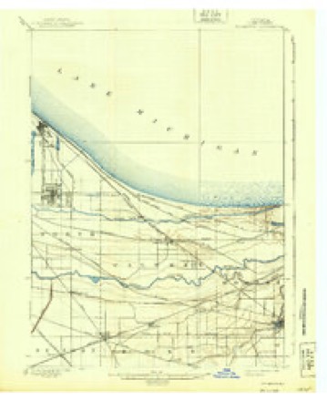
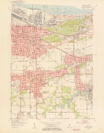
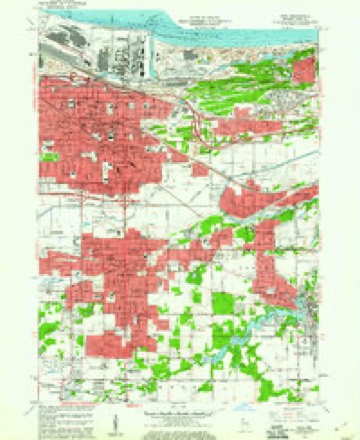
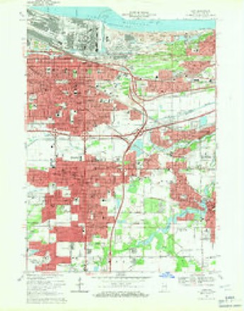
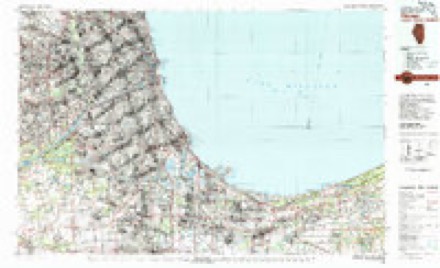
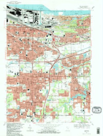
9 surveys from 20 printed sheetsMatched by testing this settlement's coordinate against the published boundary of every sheet in the United States Geological Survey's historical collection. Each opens the scanned sheet at the Survey.
- 1900 USGS Toleston quadrangle1:62500, 4 printings
- 1900 USGS Tolleston quadrangle1:62500, 2 printings
- 1953 USGS Chicago quadrangle1:250000, 5 printings
- 1953 USGS Gary quadrangle1:24000
- 1957 USGS Chicago quadrangle1:250000
- 1959 USGS Gary quadrangle1:24000
- 1968 USGS Gary quadrangle1:24000, 3 printings
- 1980 USGS Chicago quadrangle1:100000
- 1991 USGS Gary quadrangle1:24000, 2 printings


Fires near this place
358 since 1992Regional context, not property-specific evidence. The federal wildfire occurrence database lists 358 fires within 5 miles of Gary between 1992 and 2020, burning about 5,987 acres in total. 11 started naturally. 36 were recorded as arson. Distance is straight-line from the map coordinates, so a fire counted here may appear on a neighbouring settlement's page as well.
| Reported cause | Fires |
|---|---|
| Railroad operations and maintenance | 134 |
| Missing data/not specified/undetermined | 79 |
| Debris and open burning | 51 |
| Arson/incendiarism | 36 |
| Misuse of fire by a minor | 19 |
| Natural | 11 |
| Fireworks | 9 |
| Equipment and vehicle use | 8 |
| Recreation and ceremony | 5 |
| Other causes | 4 |
| Smoking | 2 |
The most recent of them, most recent first, with the day each was reported and the service that recorded it.
| Date | Cause | Size | Reported by | Name on the report |
|---|---|---|---|---|
| 5 September 1995 | Railroad operations and maintenance | 7.0 acres | Indiana Dunes National Lakeshore | TENNESSEE |
| 5 September 1995 | Railroad operations and maintenance | 53 acres | Indiana Dunes National Lakeshore | MANY |
| 26 September 1995 | Arson/incendiarism | 2.1 acres | Indiana Dunes National Lakeshore | DIAMOND |
| 19 September 1999 | Arson/incendiarism | 2.0 acres | Indiana Dunes National Lakeshore | BUFFALO |
| 16 September 2001 | Debris and open burning | under an acre | Indiana Dunes National Lakeshore | LIBERTY |
| 10 September 2007 | Debris and open burning | 20 acres | Indiana Dunes National Lakeshore | LAKE STREET |
| 9 August 1999 | Railroad operations and maintenance | under an acre | Indiana Dunes National Lakeshore | NEW HIRE |
| 8 August 1999 | Debris and open burning | under an acre | Indiana Dunes National Lakeshore | 1-5 |
Settlements close enough to share some of these fires:
Mines and quarries near this place
4 within 5 milesRegional context, not property-specific evidence. The federal mineral resources record lists 4 workings within 5 miles of Gary: 2 producers, 1 past producer, 1 plant. 3 still produce. What was taken out: Sand and Gravel, Construction, Stone, Sulfur, Limestone, General. Distance is straight-line from the map coordinates, so a quarry counted here may appear on a neighbouring settlement's page as well.
| Where | Site | Commodity | Status | Recorded |
|---|---|---|---|---|
| Buffington Cement Plant | Stone | Producer | ||
| Buffington Lime Plant | Limestone, General | Producer | ||
| Dean H. Mitchell Generating Station | Sulfur | Plant | ||
| Samoki Brothers Sand Pit | Sand and Gravel, Construction | Past Producer |
Storms near this place
29 since 1995Regional context, not property-specific evidence. The National Weather Service names Gary in 29 storm reports between 1995 and 2025: 19 thunderstorm wind, 5 hail, 3 lightning, 1 rip current. The reports record 1 death and 1 injury. Each account below is quoted exactly as the forecast office filed it, from the NOAA Storm Events Database, and each date opens the federal record of that event.
| When | Event | Place named | Harm | What the report says |
|---|---|---|---|---|
| August 2001 | Rip Current | Gary | 1 killed | no account filed |
| May 2007 | Lightning | Gary | 1 hurt | A 15 year old boy was standing near a tree when it was struck by lightning. The teenager received burns on his back. His clothes and shoes were ripped off. A relative standing near the teenager said she saw blue light reflected off of him. |
| September 2013 | Lightning | Gary | $75,000 | A house at 1180 Jefferson Court was struck by lightning starting a fire which engulfed about 50 percent of the home. An adult and a 9-month-old child were home at the time of the fire. The adult was killed and the baby was in critical condition as it was transported to the hospital. An investigator said that there were no signs that the adult had been struck by lightning and that they died due to smoke inhalation. |
| May 2007 | Thunderstorm Wind | Gary | $60,000 | Fifteen large pine trees were uprooted at the Indiana University Northwest campus in Gary. Some of the trees fell on several cars. Windows in some buildings were also blown out. |
| July 2006 | Lightning | Gary | $50,000 | A home near 48th Place and Whitcomb Street in Calumet Township was struck by lightning, which started a fire on the second floor. Two bedrooms, a bathroom and the attic were gutted. |
| August 2011 | Thunderstorm Wind | East Gary | $25,000 | A large pine tree was uprooted and fell onto a home near the intersection of Warrick Street and Central Avenue. |
| July 2006 | Thunderstorm Wind | Gary | $5,000 | Trees, tree limbs and power lines were blown down across many areas in northeast Lake County. |
| March 2025 | Thunderstorm Wind | Gary | - | Minor structural and tree damage was found along 20th Pl just east of Ernie Pyle Elementary School. |
| March 2025 | Tornado (EF0) | Gary | - | A tornado touched down near Norton Park, just south of West 13th Avenue in Gary. This brief tornado blew tree debris across roadways and uprooted several small trees east of the Gary Business District with estimated winds of 70 mph. The tornado dissipated around MLK Drive, just north of East 7th Avenue before reaching the Dunes Highway. |
| March 2025 | Thunderstorm Wind | Gary | - | Structural damage was found on a home near 8th Ave and Harrison St. |
| March 2025 | Thunderstorm Wind | Gary | - | A large tree limb snapped along 17th Ave near McKinley St. |
| March 2025 | Thunderstorm Wind | Gary | - | Lake County EMA reported power poles snapped in Gary. |
| July 2010 | Thunderstorm Wind | Gary | - | Large trees and numerous tree limbs were blown down in Gary. |
| July 2008 | Thunderstorm Wind | Gary | - | Wind gusts to 70 mph were estimated near downtown Gary. |
| August 2007 | Thunderstorm Wind | Gary | - | Estimated gust to 60 mph in downtown Gary. |
| September 2007 | Thunderstorm Wind | Gary | - | Wind gusts were estimated to 60 mph. |
| March 2004 | Thunderstorm Wind | Gary | - | Large tree down. |
| July 2004 | Thunderstorm Wind | Gary | - | Trees, limbs and power lines were reported down. |
| September 2002 | Thunderstorm Wind | Gary | - | Trees blown down. |
| June 1998 | Thunderstorm Wind | Gary | - | A cooperative observer at Trump Casino at Buffington Harbor in Gary recorded a 58 mph wind gust. |
| June 1995 | Hail | Gary | - | Golf ball- to ping-pong ball-size hail fell at Hammond. Half an inch to three-quarters inch hail and 54 mph winds occurred at Gary Airport. Tree limbs and power lines were downed throughout the northern part of the county. |
| July 2015 | Hail | Gary | - | no account filed |
| August 2014 | Thunderstorm Wind | Gary | - | no account filed |
| June 2013 | Hail | Gary | - | no account filed |
| September 2009 | Hail | Gary | - | no account filed |
| June 2008 | Hail | Gary | - | no account filed |
| July 2003 | Thunderstorm Wind | Gary | - | no account filed |
| August 2000 | Thunderstorm Wind | Gary | - | no account filed |
| April 1997 | Thunderstorm Wind | Gary | - | no account filed |
Nearest settlements
The eight closest, with where each one stands in the county. Distances are straight-line, computed from the Geographic Names Information System coordinates.
| Map | Place | Distance | Sheets |
|---|---|---|---|
| Tolleston | 1.0 miles | 20 | |
| Aetna | 3.0 miles | 20 | |
| Black Oak | 3.1 miles | 20 | |
| Pine | 3.3 miles | 20 | |
| Gerry Park | 3.6 miles | 20 | |
| Glen Park | 3.6 miles | 20 | |
| Liverpool | 3.9 miles | 20 | |
| Duneland Village | 4.0 miles | 20 |
Elsewhere
Matched on this settlement's Geographic Names Information System number rather than its name, so it cannot be a different place of the same name in another state.
| Wikipedia article on Gary | An encyclopaedic summary. Its text is share-alike, so it is linked here rather than copied. |
| Wikidata item Q184116 | The structured record the population and elevation above come from. Public domain (CC0). |
Provenance
This settlement is recorded in the Geographic Names Information System as feature 434979. The sheet list is computed by point-in-boundary test against the United States Geological Survey's historical topographic inventory. Both are works of the United States government and carry no copyright under 17 U.S.C. 105.
Wildfire. Short, Karen C. 2022. Spatial wildfire occurrence data for the United States, 1992-2020 [FPA_FOD_20221014]. 6th Edition. Fort Collins, CO: Forest Service Research Data Archive. https://doi.org/10.2737/RDS-2013-0009.6 Collected with United States Government funding and usable without additional permissions or fees.
Mines and quarries. USGS Mineral Resources Data System (MRDS) https://mrdata.usgs.gov/mrds/ A work of the United States government, no copyright under 17 U.S.C. 105.
Storms. NOAA National Centers for Environmental Information, Storm Events Database https://www.ncei.noaa.gov/stormevents/ A work of the United States government, no copyright under 17 U.S.C. 105. Narratives are quoted verbatim from the National Weather Service report and are not edited or summarised.