 Block
Greendale, Indiana
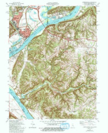
16 topographic sheets cover this place, the earliest surveyed in 1915 and the latest in 1986. It stands in Lawrenceburg Township. It lies in ZIP code area 47025. It lies near College Hill. The Survey maps it on the Lawrenceburg quadrangle. 4,602 people lived here at the 2020 count. It stands 528 feet above sea level.
On record in Greendale
Buildings and businesses the archive holds for this place. Each opens its own page, with the source record it came from.
On the National Register 1 record
- Greendale Historic Districtlisted 2019
Population over time
2 figuresGreendale grew from 4,520 to 4,602 between 2010 and 2020. These are the recorded population figures Wikidata holds for this place, reached through the Geographic Names Information System number this page is keyed on rather than by name, so they belong to this place and not to another of the same name. Most are census counts, but not all are: an early figure may be a founding or settlement estimate, and an estimate published within five years of a census is left out. The change column is computed, and is left blank where more than 20 years separate a figure from the one before it, because a gap that long is not a change between two counts.
| Year | People | Change |
|---|---|---|
| 2010 | 4,520 | |
| 2020 | 4,602 | +82 (+2%) |
Topographic sheets covering this place
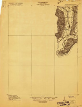
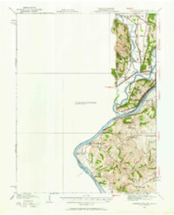
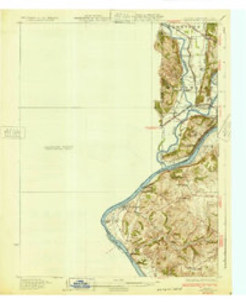
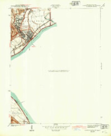
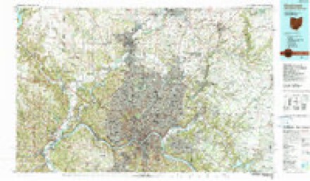
8 surveys from 16 printed sheetsMatched by testing this settlement's coordinate against the published boundary of every sheet in the United States Geological Survey's historical collection. Each opens the scanned sheet at the Survey.
- 1915 USGS Lawrenceburg quadrangle1:48000
- 1928 USGS Lawrenceburg quadrangle1:62500
- 1932 USGS Lawrenceburg quadrangle1:62500, 3 printings
- 1943 USGS Lawrenceburg quadrangle1:24000
- 1953 USGS Cincinnati quadrangle1:250000, 3 printings
- 1957 USGS Cincinnati quadrangle1:250000
- 1981 USGS Lawrenceburg quadrangle1:24000, 3 printings
- 1986 USGS Cincinnati quadrangle1:100000, 3 printings


In the county-history sources
13,960 words on this townshipHistory of Dearborn County Indiana, published 1915 names this settlement in its chapter on Lawrenceburg Township. These are the passages that mention it, exactly as the scans read.
In the original plat it was provided that a cemetery was to be laid out at the west end of High street, joining Mulberry Row. This was used for a number of years, but the plat filed by Isaac Dunn in April, 1819, provided for (i7) a cemetery which seemed to be a better location : and the first burying ground was in later years abandoned, and the latter was used for that purpose until the new cemetery of Greendale was laid out in 1867. Since that time the burials in the old cemetery have gradually ceased until now it is only occasion¬ ally that a burial is made there. The flood of recent years has inundated it and the monuments have been badly wrecked, which further hastened its aban¬ donment as a cemetery.
Passage source: History of Dearborn County Indiana, published 1915.
The manufacture of furniture was, for a period, an important part of the manufacturing interests of the city. The E. B. Dobell Furniture Company, with a manufacturing plant in Greendale and warerooms in Lawrenceburg, was established in 1863. It was destroyed by fire in 1873, but was rebuilt at once and continued in operation for ten years longer, when Mr. Dobell get¬ ting old, retired. The Miami Valley Furniture Company, with a capital stock of twenty thousand dollars, which was afterwards increased to forty thousand dollars, was organized in 1868. The stockholders were George Hodel, Jr., John Christena, Henry F. Wencke, Adam Schleicher, George Schleicher, Gus¬ tav Schoenberger, Herman H. Woehla, John F. Sembach. Philip Dexheimer, George Hodel, Sr., Johann J. Hauck, Samuel Dickinson, John Bookster, Levin B. Lewis and Alexander Beckman. The officers of the company were George Hodel, Jr., president; Harris Bateman, secretary; Levin B. Lewis, treasurer. The company erected the extensive building now a part of the James & Meyer Buggy Company's plant, and continued a successful business until about the year 1888, when it discontinued.
Passage source: History of Dearborn County Indiana, published 1915.
When Captain Vance laid out the city of Lawrenceburg he stated in his filing that he had provided for a cemetery adjacent to the plat and adjoining it to the south and west. This was the cemetery at the west end of High street, just below Mulberry. It was used as a burial place from the time the town was laid out until after the addition of Newtown was added by Isaac Dunn. Even after that, and until as late as 1840 and perhaps later, the site was used. But it gradually came into disuse and the cemetery in Newtown was the burying ground up until the time when Greendale cemetery was incorporated in 1865. Since that the Newton cemetery has also gradually been aban¬ doned, until at present only a few of the lot owners bury there. The Newtown cemetery, it was found, was subject to overflow, and on that account was not desirable for a burying place for the dead. Yet the early residents are all buried there. The tombstone of Capt. Samuel C. Vance can be found in a conspicuous place. The floods of recent years have wrecked many of the monuments and few of those buried have descendants to look after them.
Passage source: History of Dearborn County Indiana, published 1915.
Machine-read from a century-old scan, so expect the errors a machine makes: misspelled names, dropped words, stray characters.
Read the whole chapter on Lawrenceburg Township - it names this place 4 more 4 times.
Mines and quarries near this place
2 within 5 milesRegional context, not property-specific evidence. The federal mineral resources record lists 2 workings within 5 miles of Greendale: 1 past producer, 1 producer. 1 still produces. What was taken out: Sand and Gravel, Construction. Distance is straight-line from the map coordinates, so a quarry counted here may appear on a neighbouring settlement's page as well.
| Where | Site | Commodity | Status | Recorded |
|---|---|---|---|---|
| D & M Mine | Sand and Gravel, Construction | Past Producer | ||
| Petersburg Mine | Sand and Gravel, Construction | Producer |
Storms near this place
5 since 2006Regional context, not property-specific evidence. The National Weather Service names Greendale in 5 storm reports between 2006 and 2025: 2 hail, 2 thunderstorm wind, 1 flash flood. No death or injury is recorded in these reports. Each account below is quoted exactly as the forecast office filed it, from the NOAA Storm Events Database, and each date opens the federal record of that event.
| When | Event | Place named | Harm | What the report says |
|---|---|---|---|---|
| June 2008 | Hail | Greendale | $10,000 | no account filed |
| July 2025 | Thunderstorm Wind | Greendale | $6,000 | Several trees were downed onto power lines along Bielby Road just northwest of Greendale. |
| June 2006 | Thunderstorm Wind | Greendale | $5,000 | Trees and large limbs were downed. |
| June 2006 | Hail | Greendale | $2,000 | A tree was also downed. |
| April 2017 | Flash Flood | Greendale | $1,000 | High water was reported on U.S. 50 near Greendale, resulting in a water rescue of an individual from a vehicle. |
Nearest settlements
The eight closest, with where each one stands in the county. Distances are straight-line, computed from the Geographic Names Information System coordinates.
| Map | Place | Distance | Sheets |
|---|---|---|---|
| Homestead | 1.0 miles | 16 | |
| Hardinsburg | 1.1 miles | 16 | |
| Oldtown | 1.5 miles | 16 | |
| Lawrenceburg | 1.7 miles | 16 | |
| Lawrenceburg Junction | 1.7 miles | 20 | |
| Hidden Valley | 3.6 miles | 20 | |
| Kirschs Corner | 3.9 miles | 19 | |
| Utah | 4.0 miles | 19 |
Elsewhere
Matched on this settlement's Geographic Names Information System number rather than its name, so it cannot be a different place of the same name in another state.
| Wikipedia article on Greendale | An encyclopaedic summary. Its text is share-alike, so it is linked here rather than copied. |
| Wikidata item Q1987441 | The structured record the population and elevation above come from. Public domain (CC0). |
Provenance
This settlement is recorded in the Geographic Names Information System as feature 435429. The sheet list is computed by point-in-boundary test against the United States Geological Survey's historical topographic inventory. Both are works of the United States government and carry no copyright under 17 U.S.C. 105.
Mines and quarries. USGS Mineral Resources Data System (MRDS) https://mrdata.usgs.gov/mrds/ A work of the United States government, no copyright under 17 U.S.C. 105.
Storms. NOAA National Centers for Environmental Information, Storm Events Database https://www.ncei.noaa.gov/stormevents/ A work of the United States government, no copyright under 17 U.S.C. 105. Narratives are quoted verbatim from the National Weather Service report and are not edited or summarised.