 Block
Lawrenceburg, Indiana
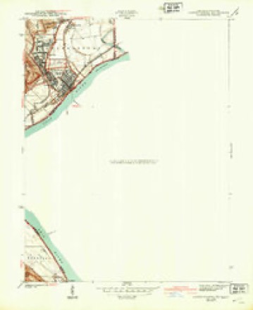
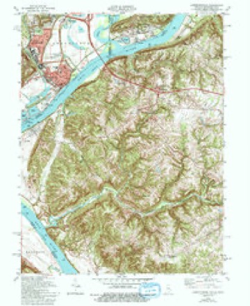
16 topographic sheets cover this place, the earliest surveyed in 1915 and the latest in 1986. It stands in Lawrenceburg Township. It lies in ZIP code area 47025. It stands on Tanners Creek. The Survey maps it on the Lawrenceburg quadrangle.
On record in Lawrenceburg
Buildings and businesses the archive holds for this place. Each opens its own page, with the source record it came from.
On the National Register 5 records
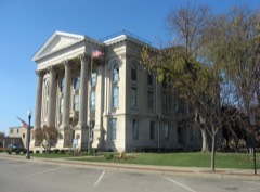 Dearborn County Courthouselisted 1981
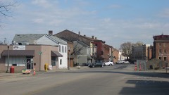 Downtown Lawrenceburg Historic Districtlisted 1984
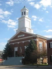 Hamline Chapel, United Methodist Churchlisted 1982
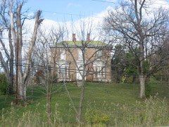 Daniel S. Major Houselisted 2003
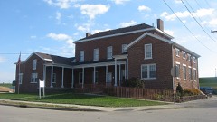 Vance-Tousey Houselisted 2000
Topographic sheets covering this place
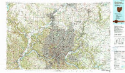
8 surveys from 16 printed sheetsMatched by testing this settlement's coordinate against the published boundary of every sheet in the United States Geological Survey's historical collection. Each opens the scanned sheet at the Survey.
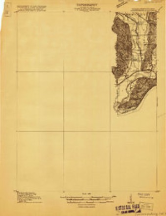
- 1915 USGS Lawrenceburg quadrangle1:48000
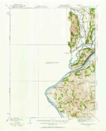
- 1928 USGS Lawrenceburg quadrangle1:62500
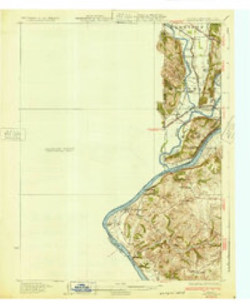
- 1932 USGS Lawrenceburg quadrangle1:62500, 3 printings
- 1943 USGS Lawrenceburg quadrangle1:24000
- 1953 USGS Cincinnati quadrangle1:250000, 3 printings
- 1957 USGS Cincinnati quadrangle1:250000
- 1981 USGS Lawrenceburg quadrangle1:24000, 3 printings
- 1986 USGS Cincinnati quadrangle1:100000, 3 printings


In the county-history sources
13,960 words on this townshipHistory of Dearborn County Indiana, published 1915 names this settlement in its chapter on Lawrenceburg Township. These are the passages that mention it, exactly as the scans read.
Capt. Samuel C. Vance, a soldier under Washington, an aid to Gen. Anthony Wayne and by marriage a grandson to Gen. Arthur St. Clair, being familiar with the nature of the ground at' all the prominent points along the Ohio river in the Wayne Purchase, conceived the idea that the location just below the mouth of the Great Miami called for the site of a city. On July 23, 1801, shortly after the land office at Cincinnati was opened, he entered the land on which the city of Lawrenceburg is located; which is fractional sections 13 and 14 and section 15 in congressional township 5, range 1 west of the Miami river.
Passage source: History of Dearborn County Indiana, published 1915.
In April, 1802, bringing James Hamilton and Benjamin Chambers with him, he came down from Cincinnati and proceeded to survey and plat the town site of the city of Lawrenceburg. The plat comprised one hundred and ninety-six lots and lies facing the Ohio river, which runs in a southwesterly course at that place. The streets on that account parallel the river and run northeast and southwest, while the cross streets run northwest and southeast. The town site was bounded on the northeast by Elm street and on the southwest by Mulberry street, to the northwest by Partition lane, since about 1882 called Center street, and on the southeast by the Ohio river.
Passage source: History of Dearborn County Indiana, published 1915.
In Daniel Drake's picture of Cincinnati and the Miami country, published in 1815, it is stated "Lawrenceburg, having occasionally suffered inundation, has grown but little, and a new village called Edinboro has been lately laid out on higher ground, about one-half mile from the river, but it is not a place of much promise. The inhabitants of the counties of Dearborn, Franklin and Wayne received their supplies of foreign goods almost exclusively from Cincinnati, but little mercantile capital being employed at Lawrenceburg, and there being on the Miami no depot of merchandise for the region." Two years later, 1817, the author of an emigrant's directory says, "In traveling seven miles through the woods of Dearborn county I counted two bears, three deer and upwards of one hundred turkeys. In the course of the day I missed my way and wandered several miles in the wilderness."
Passage source: History of Dearborn County Indiana, published 1915.
Machine-read from a century-old scan, so expect the errors a machine makes: misspelled names, dropped words, stray characters.
Read the whole chapter on Lawrenceburg Township - it names this place 39 more 39 times.
Mines and quarries near this place
2 within 5 milesRegional context, not property-specific evidence. The federal mineral resources record lists 2 workings within 5 miles of Lawrenceburg: 1 past producer, 1 producer. 1 still produces. What was taken out: Sand and Gravel, Construction. Distance is straight-line from the map coordinates, so a quarry counted here may appear on a neighbouring settlement's page as well.
| Where | Site | Commodity | Status | Recorded |
|---|---|---|---|---|
| D & M Mine | Sand and Gravel, Construction | Past Producer | ||
| Petersburg Mine | Sand and Gravel, Construction | Producer |
Storms near this place
32 since 1993Regional context, not property-specific evidence. The National Weather Service names Lawrenceburg in 32 storm reports between 1993 and 2024: 16 thunderstorm wind, 8 hail, 5 flash flood, 2 heavy rain. No death or injury is recorded in these reports. Each account below is quoted exactly as the forecast office filed it, from the NOAA Storm Events Database, and each date opens the federal record of that event.
| When | Event | Place named | Harm | What the report says |
|---|---|---|---|---|
| August 1993 | Thunderstorm Wind | Lawrenceburg | $50,000 | no account filed |
| May 2004 | Thunderstorm Wind | Lawrenceburg | $6,000 | Trees were downed. |
| February 2000 | Flash Flood | Lawrenceburg | $5,000 | Heavy rain caused Dowdy Road to flood. |
| April 2007 | Hail | Lawrenceburg | $4,000 | A few trees and large limbs were downed as well. |
| May 2018 | Thunderstorm Wind | Lawrenceburg | $3,000 | A few trees were downed along State Route 48. |
| June 2006 | Thunderstorm Wind | Lawrenceburg | $3,000 | Trees were downed. |
| August 2004 | Thunderstorm Wind | Lawrenceburg | $3,000 | A couple of trees were downed. |
| April 2001 | Thunderstorm Wind | Lawrenceburg | $3,000 | A few trees were knocked down. |
| July 1999 | Thunderstorm Wind | Lawrenceburg | $3,000 | Trees downed. |
| November 1998 | Thunderstorm Wind | Lawrenceburg | $3,000 | Trees down. |
| June 1996 | Thunderstorm Wind | Lawrenceburg | $3,000 | no account filed |
| November 2002 | Thunderstorm Wind | Lawrenceburg | $2,000 | Several large limbs were blown down. |
| May 2007 | Hail | Lawrenceburg | $2,000 | no account filed |
| April 2024 | Thunderstorm Wind | Lawrenceburg | $1,000 | A tree was downed. |
| June 2010 | Thunderstorm Wind | Lawrenceburg | $1,000 | Trees were reported down due to damaging thunderstorm winds. |
| June 2008 | Hail | Lawrenceburg | $1,000 | no account filed |
| April 2020 | Thunderstorm Wind | Lawrenceburg | - | The gust was recorded on a personal weather station. |
| February 2019 | Flood | Lawrenceburg | - | High water was reported on U.S. Route 50. |
| August 2016 | Heavy Rain | Lawrenceburg | - | High water was reported on U.S. 50. |
| April 2014 | Heavy Rain | Lawrenceburg | - | Ponding of water was reported on roads in Lawrenceburg and Aurora. |
| May 2012 | Thunderstorm Wind | Lawrenceburg | - | The wind gust was estimated and relayed to the office by broadcast media. |
| May 2011 | Thunderstorm Wind | Lawrenceburg | - | The spotter estimated the wind gust. |
| July 2001 | Flash Flood | Lawrenceburg | - | US Route 50 closed because of high water |
| October 2001 | Flash Flood | Lawrenceburg | - | High water was reported on area roadways. |
| April 1998 | Flash Flood | Lawrenceburg | - | Heavy rainfall caused water to flood across US Rte 50, |
| June 2021 | Thunderstorm Wind | Lawrenceburg | - | no account filed |
| May 2012 | Hail | Lawrenceburg | - | no account filed |
| April 2012 | Hail | Lawrenceburg | - | no account filed |
| April 2006 | Hail | Lawrenceburg | - | no account filed |
| August 2003 | Hail | Lawrenceburg | - | no account filed |
| March 1997 | Hail | Lawrenceburg | - | no account filed |
| December 1996 | Flash Flood | Lawrenceburg | - | no account filed |
Nearest settlements
The eight closest, with where each one stands in the county. Distances are straight-line, computed from the Geographic Names Information System coordinates.
| Map | Place | Distance | Sheets |
|---|---|---|---|
| Oldtown | 0.3 miles | 16 | |
| Greendale | 1.7 miles | 16 | |
| Hardinsburg | 2.2 miles | 16 | |
| Homestead | 2.3 miles | 16 | |
| Lawrenceburg Junction | 2.8 miles | 20 | |
| Utah | 3.3 miles | 19 | |
| Westside | 3.6 miles | 19 | |
| Aurora | 3.6 miles | 19 |
Provenance
This settlement is recorded in the Geographic Names Information System as feature 437674. The sheet list is computed by point-in-boundary test against the United States Geological Survey's historical topographic inventory. Both are works of the United States government and carry no copyright under 17 U.S.C. 105.
Mines and quarries. USGS Mineral Resources Data System (MRDS) https://mrdata.usgs.gov/mrds/ A work of the United States government, no copyright under 17 U.S.C. 105.
Storms. NOAA National Centers for Environmental Information, Storm Events Database https://www.ncei.noaa.gov/stormevents/ A work of the United States government, no copyright under 17 U.S.C. 105. Narratives are quoted verbatim from the National Weather Service report and are not edited or summarised.