 Block
Guilford, Indiana
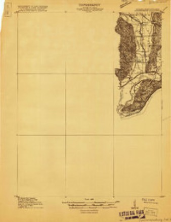
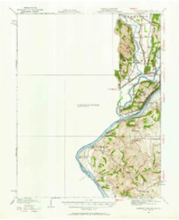
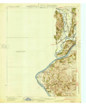
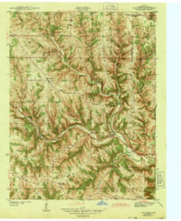
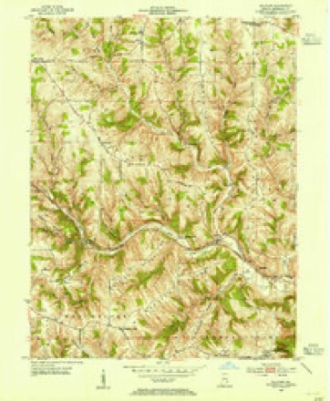
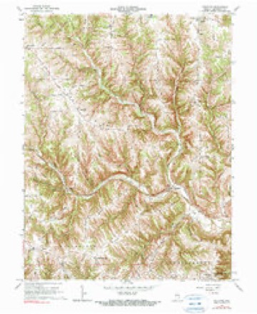
17 topographic sheets cover this place, the earliest surveyed in 1915 and the latest in 1986. It stands in York Township. It lies in ZIP code area 47022. It stands on East Fork Tanners Creek. The Survey maps it on the Guilford quadrangle. It stands 499 feet above sea level.
Topographic sheets covering this place
9 surveys from 17 printed sheetsMatched by testing this settlement's coordinate against the published boundary of every sheet in the United States Geological Survey's historical collection. Each opens the scanned sheet at the Survey.
- 1915 USGS Lawrenceburg quadrangle1:48000
- 1928 USGS Lawrenceburg quadrangle1:62500
- 1932 USGS Lawrenceburg quadrangle1:62500, 3 printings
- 1943 USGS Guilford quadrangle1:24000, 2 printings
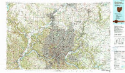
- 1953 USGS Cincinnati quadrangle1:250000, 3 printings
- 1953 USGS Guilford quadrangle1:24000
- 1957 USGS Cincinnati quadrangle1:250000
- 1966 USGS Guilford quadrangle1:24000, 2 printings
- 1986 USGS Cincinnati quadrangle1:100000, 3 printings


In the county-history sources
1,741 words on this townshipHistory of Dearborn County Indiana, published 1915 names this settlement in its chapter on York Township. These are the passages that mention it, exactly as the scans read.
York township must have received the name on account of the number of English who came into the township from Yorkshire, in England. The tone and character of the entire township was in its early history dominated by these thrifty, high-class citizens. Guilford, at the forks of Tanners creek, and Yorkville, three miles out the ridge, between the two creeks, by their names indicate their English origin.
Passage source: History of Dearborn County Indiana, published 1915.
The Micajah Dunn mentioned as entering a part of section 19, town¬ ship 6, range 1, is credited with being the first actual settler in the township. His father, Capt. Hugh Dunn, was one of the first settlers at Columbia, just above where the city of Cincinnati now stands, in 1788. His name appears among the list of those that landed there with the first colony. The Captain afterwards moved down the river to Fort Hill, and was with the little band that lived here during the perilous times of St. Clair's campaign and Wayne's victory at the Goose Pond stockade, with Joseph Hayes, the Millers and Guards. The family lived here until after Wayne's treaty when they moved to where the town of Elizabethtown, Ohio, now stands. This would be about 1796. Here Captain Dunn remained for a time and his son Micajah married and he then removed to the vicinity of Guilford, afterwards entering the land in section 19. Some ten years later, imbued with the genuine pioneer spirit, he moved to what is now Manchester township, and it is claimed was the first settler in that neighborhood.
Passage source: History of Dearborn County Indiana, published 1915.
George W. Lane says of the stockade near Guilford : "In the spring of 1812 the first steamboat of one hundred tons built at Pittsburgh, by Robert Fulton, made its first trip to New Orleans in fourteen days. The name of the boat was "Orleans." The Indian hostilities now began in earnest. Will¬ iam Crist had been wounded while discharging his duties as a mail carrier. The militia was organized under James Dill, colonel ; Enoch Smith, lieutenantcolonel; Decker Crozier, major of the third regiment. James McGuire was captain of the first company, and Frederick Schultz was captain of the second company of rangers. These companies erected three blockhouses, one on Laughery creek about fifteen miles from Lawrenceburg, one on Tanners creek above Guilford, and one on the headwaters of Blue creek. In each of these blockhouses were stationed ten men. The two companies of mounted men patrolled the wilderness from blockhouse to blockhouse until the close of the war."
Passage source: History of Dearborn County Indiana, published 1915.
Machine-read from a century-old scan, so expect the errors a machine makes: misspelled names, dropped words, stray characters.
Read the whole chapter on York Township - it names this place 2 more 2 times.
Fires near this place
1 since 2004Regional context, not property-specific evidence. The federal wildfire occurrence database lists 1 fire within 5 miles of Guilford in 2004, burning about 1 acre in total. None started naturally. None was recorded as arson. Distance is straight-line from the map coordinates, so a fire counted here may appear on a neighbouring settlement's page as well.
| Reported cause | Fires |
|---|---|
| Recreation and ceremony | 1 |
The most recent of them, most recent first, with the day each was reported and the service that recorded it.
| Date | Cause | Size | Reported by | Name on the report |
|---|---|---|---|---|
| 28 February 2004 | Recreation and ceremony | 1.0 acres | Indiana State Fire Marshal's Office | not named |
Settlements close enough to share some of these fires:
Storms near this place
20 since 1999Regional context, not property-specific evidence. The National Weather Service names Guilford in 20 storm reports between 1999 and 2023: 10 thunderstorm wind, 5 flash flood, 3 hail, 2 flood. No death or injury is recorded in these reports. Each account below is quoted exactly as the forecast office filed it, from the NOAA Storm Events Database, and each date opens the federal record of that event.
| When | Event | Place named | Harm | What the report says |
|---|---|---|---|---|
| March 2017 | Flash Flood | Guilford | $30,000 | Numerous basements were flooded and water with debris was flowing over several roadways in the Bright area. |
| June 2019 | Flash Flood | Guilford | $6,000 | Two water rescues occurred in Guilford. |
| July 1999 | Thunderstorm Wind | Guilford | $5,000 | Trees and power lines knocked down. |
| July 2018 | Thunderstorm Wind | Guilford | $3,000 | Several trees were downed along and near Mount Pleasant Road. |
| May 2011 | Thunderstorm Wind | Guilford | $3,000 | Trees were reported down along a road due to damaging thunderstorm winds. |
| April 2022 | Thunderstorm Wind | Guilford | $1,000 | A tree was downed, blocking Mount Pleasant Road. |
| April 2019 | Thunderstorm Wind | Guilford | $1,000 | A tree was knocked down. |
| April 2019 | Thunderstorm Wind | Guilford | $1,000 | A tree was knocked down. |
| July 2017 | Thunderstorm Wind | Guilford | $1,000 | A tree was downed on State Route 1. |
| July 2019 | Thunderstorm Wind | Guilford | $250 | A few small trees were downed on Salt Fork Road. |
| March 2023 | Flood | Guilford | - | High water was reported across Kaiser and Kelsey Roads. |
| March 2023 | Flood | Guilford | - | Flooding was reported over roadways near the intersection of Bonnell and Yorkridge Roads. |
| June 2019 | Flash Flood | Guilford | - | High water was reported on Main Street in Guilford. |
| June 2019 | Flash Flood | Guilford | - | High water was reported along a portion of Bonnell Road, resulting in a road closure because water was rushing over the road. |
| December 2015 | Thunderstorm Wind | Guilford | - | Power was temporarily lost at the residence. |
| June 2009 | Thunderstorm Wind | Guilford | - | Large trees were blown down between Guilford and Aurora. |
| July 2003 | Flash Flood | Guilford | - | Roads were flooded and underwater. |
| June 2023 | Hail | Guilford | - | no account filed |
| May 2012 | Hail | Guilford | - | no account filed |
| April 2006 | Hail | Guilford | - | no account filed |
Nearest settlements
The eight closest, with where each one stands in the county. Distances are straight-line, computed from the Geographic Names Information System coordinates.
| Map | Place | Distance | Sheets |
|---|---|---|---|
| Wrights Corner | 3.3 miles | 17 | |
| Bonnell | 3.3 miles | 17 | |
| Kirschs Corner | 3.4 miles | 19 | |
| Hidden Valley | 3.7 miles | 20 | |
| Yorkville | 3.9 miles | 17 | |
| Homestead | 4.4 miles | 16 | |
| Lawrenceburg Junction | 4.5 miles | 20 | |
| Kyle | 4.5 miles | 17 |
Elsewhere
Matched on this settlement's Geographic Names Information System number rather than its name, so it cannot be a different place of the same name in another state.
| Wikipedia article on Guilford | An encyclopaedic summary. Its text is share-alike, so it is linked here rather than copied. |
| Wikidata item Q5615902 | The structured record the population and elevation above come from. Public domain (CC0). |
Provenance
This settlement is recorded in the Geographic Names Information System as feature 435550. The sheet list is computed by point-in-boundary test against the United States Geological Survey's historical topographic inventory. Both are works of the United States government and carry no copyright under 17 U.S.C. 105.
Wildfire. Short, Karen C. 2022. Spatial wildfire occurrence data for the United States, 1992-2020 [FPA_FOD_20221014]. 6th Edition. Fort Collins, CO: Forest Service Research Data Archive. https://doi.org/10.2737/RDS-2013-0009.6 Collected with United States Government funding and usable without additional permissions or fees.
Storms. NOAA National Centers for Environmental Information, Storm Events Database https://www.ncei.noaa.gov/stormevents/ A work of the United States government, no copyright under 17 U.S.C. 105. Narratives are quoted verbatim from the National Weather Service report and are not edited or summarised.