 Block
Hessen Cassel, Indiana
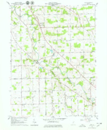
13 topographic sheets cover this place, the earliest surveyed in 1953 and the latest in 1994. It stands in Marion Township. It lies in ZIP code area 46816. It stands on Houk Ditch. The Survey maps it on the Poe quadrangle.
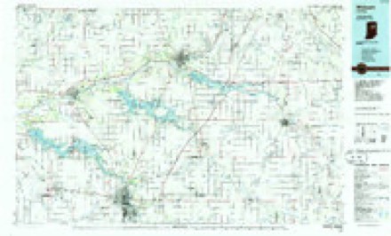
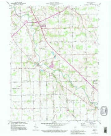
Topographic sheets covering this place
5 surveys from 13 printed sheetsMatched by testing this settlement's coordinate against the published boundary of every sheet in the United States Geological Survey's historical collection. Each opens the scanned sheet at the Survey.
- 1953 USGS Muncie quadrangle1:250000, 5 printings
- 1956 USGS Muncie quadrangle1:250000
- 1962 USGS Poe quadrangle1:24000, 4 printings
- 1986 USGS Wabash quadrangle1:100000, 2 printings
- 1994 USGS Poe quadrangle1:24000


In the county-history sources
6,434 words on this townshipHistory of Allen County, Indiana., published 1880 names this settlement in its chapter on Marion Township. These are the passages that mention it, exactly as the scans read.
Philo Whitcomb came to the township in the fall of 1830. He was a native of Greene County, N. Y., where he resided until 1819; then, with his wife, and one child, he emigrated to the West, settling in Dearborn County, Ind. In 1827, in company with two friends, he followed an Indian trail to Allen County, to prospect for a new home, finally deciding to purchase near Monmouth, Adams Co., Ind. He purchased land in that locality, to which he soon after removed his family, and upon which he resided one year. In 1830, he purchased forty acres in Marion Township, and located immediately after. He was ambitious and energetic, and, from time to time, he added to his farm, making it one of the finest in the township. He was prominent in all measures adopted for the improvement of the township, and was looked upon as a leader. He was called upon to fill various local offices, notably that of Justice of the Peace. He died in 1842
Passage source: History of Allen County, Indiana., published 1880.
The first stock. of merchandise was brought to the township in 1832 by Hiram Moorey, who opened his store in a log building, south of the present site of Hessen Cassel. The country was then too sparsely settled to admit of a good trade, and, after about two years, Mr. Moorey removed to another locality.
Passage source: History of Allen County, Indiana., published 1880.
Machine-read from a century-old scan, so expect the errors a machine makes: misspelled names, dropped words, stray characters.
Mines and quarries near this place
1 within 5 milesRegional context, not property-specific evidence. The federal mineral resources record lists 1 working within 5 miles of Hessen Cassel: 1 producer. All of them still produce. What was taken out: Sand and Gravel, Construction, Stone, Crushed/Broken. Distance is straight-line from the map coordinates, so a quarry counted here may appear on a neighbouring settlement's page as well.
| Where | Site | Commodity | Status | Recorded |
|---|---|---|---|---|
| Stone Street Quarry | Sand and Gravel, Construction, Stone, Crushed/Broken | Producer |
Nearest settlements
The eight closest, with where each one stands in the county. Distances are straight-line, computed from the Geographic Names Information System coordinates.
| Map | Place | Distance | Sheets |
|---|---|---|---|
| Middletown | 2.9 miles | 13 | |
| Poe | 2.9 miles | 13 | |
| Eastland Gardens | 3.1 miles | 13 | |
| Westchester | 4.3 miles | 14 | |
| Hillcrest | 4.4 miles | 14 | |
| Fairfax | 4.5 miles | 13 | |
| Anthony Wayne Village | 4.5 miles | 13 | |
| Lincolnshire | 4.7 miles | 14 |
Provenance
This settlement is recorded in the Geographic Names Information System as feature 436070. The sheet list is computed by point-in-boundary test against the United States Geological Survey's historical topographic inventory. Both are works of the United States government and carry no copyright under 17 U.S.C. 105.
Mines and quarries. USGS Mineral Resources Data System (MRDS) https://mrdata.usgs.gov/mrds/ A work of the United States government, no copyright under 17 U.S.C. 105.