 Block
Middletown, Indiana
13 topographic sheets cover this place, the earliest surveyed in 1953 and the latest in 1994. It stands in Marion Township. It lies in ZIP code area 46745. It stands on Nickelsen Creek. The Survey maps it on the Poe quadrangle.
Topographic sheets covering this place
5 surveys from 13 printed sheetsMatched by testing this settlement's coordinate against the published boundary of every sheet in the United States Geological Survey's historical collection. Each opens the scanned sheet at the Survey.
- 1953 USGS Muncie quadrangle1:250000, 5 printings
- 1956 USGS Muncie quadrangle1:250000
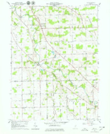
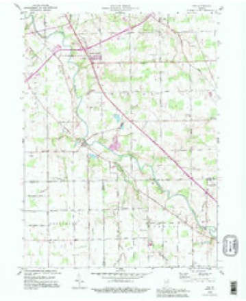
- 1962 USGS Poe quadrangle1:24000, 4 printings
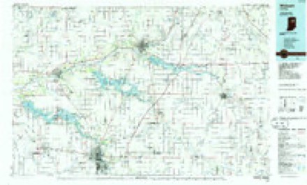
- 1986 USGS Wabash quadrangle1:100000, 2 printings
- 1994 USGS Poe quadrangle1:24000


In the county-history sources
6,434 words on this townshipHistory of Allen County, Indiana., published 1880 names this settlement in its chapter on Marion Township. These are the passages that mention it, exactly as the scans read.
I he resided until the date of his removal to this township. He entered land on i Section 27, where he now resides. He is the oldest survivor of the pioneers of this township, and, during his younger days, took a prominent part in its develop¬ ment and improvement.
Passage source: History of Allen County, Indiana., published 1880.
The first death after 'the settlement of Marion Township was that of Mr. Thompson, father of Thomas Thompson, who died in 1833. Several weeks later, his daughter Martha also died, and, within a short time, was followed by her friend Miss Jane Morriara.
Passage source: History of Allen County, Indiana., published 1880.
The first post office was established in 1831, and was called Root Post Office. Philo W hitcomb was appointed Postmaster, receiving his commission from Gen. Andrew Jackson. Four years laler, Mr. Whitcomb resigned and was succeeded by Judge Nelson McLain, when the office was removed to the house of the latter. The mail was first carried on horseback bv a Mr. Stoker, who resided in the western part' of Ohio. This method of conveyance was superseded by a staire * coach in 1851. Judge McLain remained in charge of the office for a number of I years, and, upon his resignation, Dr. Hiram Barber was appointed Postmaster ' and removed the office to Middletown, where it is still kept. Jacob Hess is the present Postmaster.
Passage source: History of Allen County, Indiana., published 1880.
Machine-read from a century-old scan, so expect the errors a machine makes: misspelled names, dropped words, stray characters.
Read the whole chapter on Marion Township - it names this place 8 more 8 times.
Mines and quarries near this place
1 within 5 milesRegional context, not property-specific evidence. The federal mineral resources record lists 1 working within 5 miles of Middletown: 1 producer. All of them still produce. What was taken out: Sand and Gravel, Construction, Stone, Crushed/Broken. Distance is straight-line from the map coordinates, so a quarry counted here may appear on a neighbouring settlement's page as well.
| Where | Site | Commodity | Status | Recorded |
|---|---|---|---|---|
| Stone Street Quarry | Sand and Gravel, Construction, Stone, Crushed/Broken | Producer |
Nearest settlements
The eight closest, with where each one stands in the county. Distances are straight-line, computed from the Geographic Names Information System coordinates.
| Map | Place | Distance | Sheets |
|---|---|---|---|
| Poe | 2.1 miles | 13 | |
| Hessen Cassel | 2.9 miles | 13 | |
| Hoagland | 3.1 miles | 12 | |
| Eastland Gardens | 6.0 miles | 13 | |
| Maples | 6.4 miles | 11 | |
| Yoder | 6.8 miles | 10 | |
| Fairfax | 7.1 miles | 13 | |
| Westchester | 7.2 miles | 14 |
Elsewhere
Matched on this settlement's Geographic Names Information System number rather than its name, so it cannot be a different place of the same name in another state.
| Wikidata item Q86752802 | The structured record the population and elevation above come from. Public domain (CC0). |
Provenance
This settlement is recorded in the Geographic Names Information System as feature 446651. The sheet list is computed by point-in-boundary test against the United States Geological Survey's historical topographic inventory. Both are works of the United States government and carry no copyright under 17 U.S.C. 105.
Mines and quarries. USGS Mineral Resources Data System (MRDS) https://mrdata.usgs.gov/mrds/ A work of the United States government, no copyright under 17 U.S.C. 105.