 Block
Highland, Indiana
15 topographic sheets cover this place, the earliest surveyed in 1951 and the latest in 1990. It stands in Washington Township. It lies in ZIP code area 47167. The Survey maps it on the Smedley quadrangle.
Topographic sheets covering this place
7 surveys from 15 printed sheetsMatched by testing this settlement's coordinate against the published boundary of every sheet in the United States Geological Survey's historical collection. Each opens the scanned sheet at the Survey.
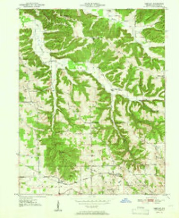
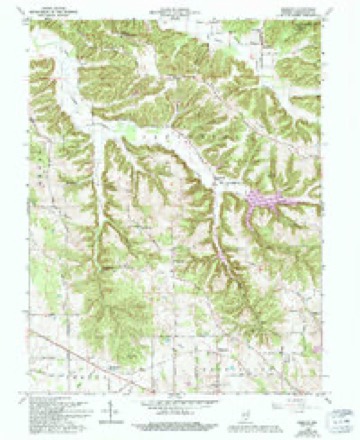
- 1951 USGS Smedley quadrangle1:24000, 3 printings
- 1956 USGS Vincennes quadrangle1:250000, 4 printings
- 1957 USGS Vincennes quadrangle1:250000
- 1958 USGS Vincennes quadrangle1:250000, 2 printings
- 1966 USGS Smedley quadrangle1:24000, 3 printings
- 1986 USGS Bedford quadrangle1:100000
- 1990 USGS Bedford quadrangle1:100000



What happened here
An account from the chapter on Washington township. The inset identifies its exact source book and publication year.
A Skirmish With The Indians
The Zink families came to the county at an early date and figured pnimineiitlv in the development of the country. They located down Blue river southwest of Salem in 1814. Daniel Zink, a Revolutionary soldier, came from Kentucky with several of his boys. One of them, John Zink. was a meml)er ui (.'(ilonel Dawalt's company of rangers which chased the Indians engaged in the rigeoii Rdost massacre.
In the county-history sources
12,709 words on this townshipFirst Educational Report, Washington County, Indiana : Containing Photographic Illustrations, Superintendents', Principals', Teachers', and Citizens' Reports of the Educational Work in the County, published 1915 names this settlement in its chapter on Washington Township. These are the passages that mention it, exactly as the scans read.
nine to fourteen, are enrolled in the third, fourth, sixth, and eighth grades. The menu consisted of chocolate cake, jelly roll, raisin cookies; peach, raisin, cherry, apple and mince pies, chicken and dressing, biscuit, ham and sausage.
Passage source: First Educational Report, Washington County, Indiana : Containing Photographic Illustrations, Superintendents', Principals', Teachers', and Citizens' Reports of the Educational Work in the County, published 1915.
Machine-read from a century-old scan, so expect the errors a machine makes: misspelled names, dropped words, stray characters.
Mines and quarries near this place
3 within 5 milesRegional context, not property-specific evidence. The federal mineral resources record lists 3 workings within 5 miles of Highland: 3 producers. All of them still produce. What was taken out: Sand and Gravel, Construction, Stone, Crushed/Broken. Distance is straight-line from the map coordinates, so a quarry counted here may appear on a neighbouring settlement's page as well.
| Where | Site | Commodity | Status | Recorded |
|---|---|---|---|---|
| Hoosier Stone Company Salem | Stone, Crushed/Broken | Producer | ||
| H & L Gravel and Sand Pit | Sand and Gravel, Construction | Producer | ||
| Littleton Gravel Pit | Sand and Gravel, Construction | Producer |
Nearest settlements
The eight closest, with where each one stands in the county. Distances are straight-line, computed from the Geographic Names Information System coordinates.
| Map | Place | Distance | Sheets |
|---|---|---|---|
| Hitchcock | 2.4 miles | 15 | |
| Martin Heights | 2.7 miles | 15 | |
| McCol Place | 2.9 miles | 15 | |
| Salem | 3.3 miles | 15 | |
| Fair Acres | 3.7 miles | 15 | |
| Rush Creek Valley | 3.9 miles | 15 | |
| Kossuth | 4.0 miles | 15 | |
| Prowsville | 4.5 miles | 15 |
Provenance
This settlement is recorded in the Geographic Names Information System as feature 436147. The sheet list is computed by point-in-boundary test against the United States Geological Survey's historical topographic inventory. Both are works of the United States government and carry no copyright under 17 U.S.C. 105.
Mines and quarries. USGS Mineral Resources Data System (MRDS) https://mrdata.usgs.gov/mrds/ A work of the United States government, no copyright under 17 U.S.C. 105.