 Block
Hudsonville, Indiana
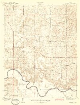
14 topographic sheets cover this place, the earliest surveyed in 1944 and the latest in 1986. It stands in Harrison Township. It lies in ZIP code area 47558. It stands on Camp Creek. The Survey maps it on the Glendale quadrangle. It stands 489 feet above sea level.
Topographic sheets covering this place
7 surveys from 14 printed sheetsMatched by testing this settlement's coordinate against the published boundary of every sheet in the United States Geological Survey's historical collection. Each opens the scanned sheet at the Survey.
- 1944 USGS Glendale quadrangle1:24000, 2 printings
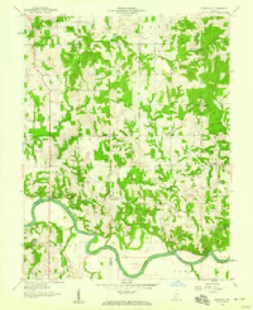
- 1956 USGS Vincennes quadrangle1:250000, 4 printings
- 1957 USGS Vincennes quadrangle1:250000
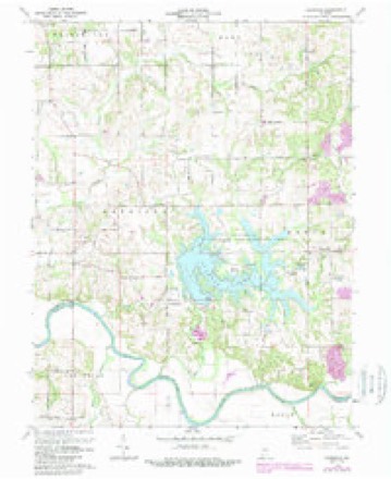
- 1958 USGS Glendale quadrangle1:24000
- 1958 USGS Vincennes quadrangle1:250000, 2 printings
- 1974 USGS Glendale quadrangle1:24000, 2 printings
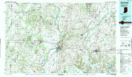
- 1986 USGS Vincennes quadrangle1:100000, 2 printings



In the county-history sources
12,801 words on this townshipHistory of Knox and Daviess County, Indiana : from the Earliest Time to the Present; with Biographical Sketches, Reminiscences, Notes, Etc. ; Together with an Extended History of the Colonial Days of Vincennes, and Its Progress Down to the Formation of the State Government, published 1886 names this settlement in its chapter on Harrison Township. These are the passages that mention it, exactly as the scans read.
P. H. BAGSDALE is a son of John and Elizabeth (Palmer) Ragsdale (elsewhere written), and was born in Daviess County, Ind., near Hudsonville, October 26, 1839. He is the sixth in the family, and was reared on a farm and educated in the common schools. He remained at home, aiding his parents on the farm, until the breaking out of the war in 1861, when he enlisted in Company G, Forty-second Indiana Volunteer Infantry, for three years or during the war. He was so severely wounded at the battle of Perryville that he was unable to attend to his duties, and was honorably discharged February 28, 1863. Since that time he has followed agricultural pursuits, and in 1879 located on his present farm of 150 acres, where he has met with good success. September 8, 1864, he was married to Miss Melvina Combs, a native of Illinois, born December 18, 1839. To them were born these five children: Tolman R., Denbv H, Aria May,
Passage source: History of Knox and Daviess County, Indiana : from the Earliest Time to the Present; with Biographical Sketches, Reminiscences, Notes, Etc. ; Together with an Extended History of the Colonial Days of Vincennes, and Its Progress Down to the Formation of the State Government, published 1886.
Machine-read from a century-old scan, so expect the errors a machine makes: misspelled names, dropped words, stray characters.
Storms near this place
4 since 2006Regional context, not property-specific evidence. The National Weather Service names Hudsonville in 4 storm reports between 2006 and 2025: 2 flood, 1 thunderstorm wind, 1 tornado. No death or injury is recorded in these reports. Each account below is quoted exactly as the forecast office filed it, from the NOAA Storm Events Database, and each date opens the federal record of that event.
| When | Event | Place named | Harm | What the report says |
|---|---|---|---|---|
| March 2025 | Tornado (EF1) | Hudsonville | $800,000 | The tornado had peaked at EF2 intensity when first tracking through Gibson County and Pike County in far southwestern Indiana, before crossing the East Fork White River and continuing roughly the last half of its overall track within Daviess County and Martin County. The tornado skipped northeast through these two counties, ending south-southwest of the Indian Springs community. The most significant damage was to a farm at County Road 100 South and County Road 1025 East in Daviess County, which sustained damage consistent with winds around 100 mph. Several metal farm outbuildings were damaged, a piece of a wooden 2-by-4 beam was thrown southeast and driven through the windshield of a semi truck, and two large grain bins were completely destroyed when torn apart, with their debris thrown at least a mile northeast.||Other portions of the tornado's path displayed mainly snapped and uprooted trees, and minor superficial home damage to roofs and siding. Widespread straight line wind damage also occurred to the west and east of the tornado's circulation from thunderstorm outflow winds and the forward flank downdraft to the east of tornado path. This straight line damage continued through Loogootee. The tornado continued further into central Martin County, producing sporadic damage in rural areas northeast of Loogootee, before doing more significant damage to two farmsteads near Killion Mill Road and additional damage near Wadsworth Lane. Maximum winds were estimated at 110 mph for this Daviess-Martin County segment of the tornado's track. |
| March 2006 | Flood | Hudsonville | $100,000 | no account filed |
| August 2023 | Thunderstorm Wind | Hudsonville | $5,000 | Thunderstorm winds downed several trees near the intersection of County Roads 750 South and 500 East. |
| January 2019 | Flood | Hudsonville | $500 | Flooding was reported on the Daviess and Pike County Line on State Road 257, adjacent to the East Fork White River due to heavy rainfall. |
Nearest settlements
The eight closest, with where each one stands in the county. Distances are straight-line, computed from the Geographic Names Information System coordinates.
| Map | Place | Distance | Sheets |
|---|---|---|---|
| Waco | 1.7 miles | 14 | |
| Glendale | 2.0 miles | 14 | |
| Pennyville | 3.6 miles | 14 | |
| Cumback | 4.2 miles | 14 | |
| Corning | 4.2 miles | 14 | |
| Alfordsville | 6.8 miles | 12 | |
| Sandy Hook | 7.9 miles | 14 | |
| Black Oak | 8.5 miles | 13 |
Elsewhere
Matched on this settlement's Geographic Names Information System number rather than its name, so it cannot be a different place of the same name in another state.
| Wikipedia article on Hudsonville | An encyclopaedic summary. Its text is share-alike, so it is linked here rather than copied. |
| Wikidata item Q5929079 | The structured record the population and elevation above come from. Public domain (CC0). |
Provenance
This settlement is recorded in the Geographic Names Information System as feature 436577. The sheet list is computed by point-in-boundary test against the United States Geological Survey's historical topographic inventory. Both are works of the United States government and carry no copyright under 17 U.S.C. 105.
Storms. NOAA National Centers for Environmental Information, Storm Events Database https://www.ncei.noaa.gov/stormevents/ A work of the United States government, no copyright under 17 U.S.C. 105. Narratives are quoted verbatim from the National Weather Service report and are not edited or summarised.