 Block
Judson, Indiana
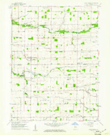
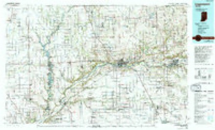
9 topographic sheets cover this place, the earliest surveyed in 1953 and the latest in 1985. It stands in Ervin Township. It lies in ZIP code area 46901. The Survey maps it on the Young America quadrangle. It stands 810 feet above sea level.
Topographic sheets covering this place
5 surveys from 9 printed sheetsMatched by testing this settlement's coordinate against the published boundary of every sheet in the United States Geological Survey's historical collection. Each opens the scanned sheet at the Survey.
- 1953 USGS Danville quadrangle1:250000, 3 printings
- 1955 USGS Danville quadrangle1:250000
- 1956 USGS Danville quadrangle1:250000
- 1959 USGS Young America quadrangle1:24000, 2 printings
- 1985 USGS Logansport quadrangle1:100000, 2 printings



What happened here
An account from the chapter on Ervin township. The inset identifies its exact source book and publication year.
Murder Trials
The first murder trial on record in the county was the killing of Mr. Hornbeck by Henry Moon, in about 1852. The men were cousins, and became involved in a dispute regarding a few cattle. It seems that Hornbeck went into a field to thrash Moon, but the latter stabbed the former with a pocket-knife, inflicting a mortal wound.
In the county-history sources
21,199 words on this townshipCounties of Howard and Tipton, Indiana. Historical and Biographical.., published 1883 names this settlement in its chapter on Ervin Township. These are the passages that mention it, exactly as the scans read.
In the northeastern part of the township is the house of the United Brethren, near the old Ralph French farm. The same denomination have a beautiful church building just south of Poplar Grove. There is a Baptist Church, about two miles east of Ervin Post Oflfice, called Judson. The Christian Church has a good building on the Wild Cat gravel road, near the west end of the pike, as has also the old order of German Baptists, on the farm of Peter Miller, near the end of the same pike. This is a beautiful new building and is supported by a wealthy class of worshipers. In fact, all these different denominations are in a flourishing state. The colored folks are quite numerous in this township, and have a school of their own, generally taught by a person of color, and there is also a church of the same people of the Baptist faith. Richard Bassett is their pastor.
Passage source: Counties of Howard and Tipton, Indiana. Historical and Biographical.., published 1883.
Machine-read from a century-old scan, so expect the errors a machine makes: misspelled names, dropped words, stray characters.
Nearest settlements
The eight closest, with where each one stands in the county. Distances are straight-line, computed from the Geographic Names Information System coordinates.
| Map | Place | Distance | Sheets |
|---|---|---|---|
| Ridgeway | 1.6 miles | 10 | |
| Kappa Corner | 2.0 miles | 9 | |
| New London | 4.2 miles | 10 | |
| Shanghai | 5.0 miles | 10 | |
| West Middleton | 5.3 miles | 11 | |
| Poplar Grove | 5.4 miles | 9 | |
| Russiaville | 6.0 miles | 10 | |
| Shambaugh Siding | 6.5 miles | 11 |
Elsewhere
Matched on this settlement's Geographic Names Information System number rather than its name, so it cannot be a different place of the same name in another state.
| Wikipedia article on Judson | An encyclopaedic summary. Its text is share-alike, so it is linked here rather than copied. |
| Wikidata item Q6304192 | The structured record the population and elevation above come from. Public domain (CC0). |
Provenance
This settlement is recorded in the Geographic Names Information System as feature 437138. The sheet list is computed by point-in-boundary test against the United States Geological Survey's historical topographic inventory. Both are works of the United States government and carry no copyright under 17 U.S.C. 105.