 Block
Shanghai, Indiana
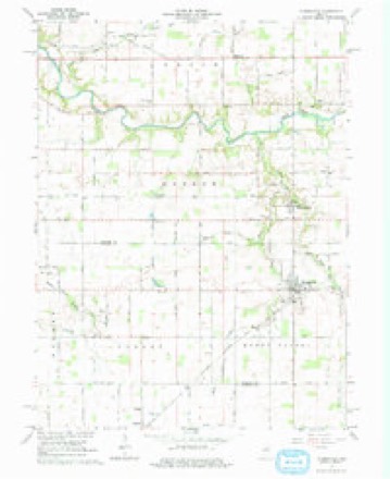
10 topographic sheets cover this place, the earliest surveyed in 1953 and the latest in 1984. It stands in Monroe Township. It lies in ZIP code area 46979. The Survey maps it on the Russiaville quadrangle.
Topographic sheets covering this place
5 surveys from 10 printed sheetsMatched by testing this settlement's coordinate against the published boundary of every sheet in the United States Geological Survey's historical collection. Each opens the scanned sheet at the Survey.
- 1953 USGS Danville quadrangle1:250000, 3 printings
- 1955 USGS Danville quadrangle1:250000
- 1956 USGS Danville quadrangle1:250000
- 1961 USGS Russiaville quadrangle1:24000, 3 printings
- 1984 USGS Lafayette quadrangle1:100000, 2 printings




In the county-history sources
4,756 words on this townshipCounties of Howard and Tipton, Indiana. Historical and Biographical.., published 1883 names this settlement in its chapter on Monroe Township. These are the passages that mention it, exactly as the scans read.
the farm, on a part of which stand Shanghai and the Quaker Church. He is now a resident of Kokomo, and among its best citizens. He also once owned the land where the Dunkard Church building now stands. Capt. Busby has served his country faithfully, having been in the Mexican war, and also in the rebellion, in the latter part of which he was promoted to the rank of Captain.
Passage source: Counties of Howard and Tipton, Indiana. Historical and Biographical.., published 1883.
Machine-read from a century-old scan, so expect the errors a machine makes: misspelled names, dropped words, stray characters.
Nearest settlements
The eight closest, with where each one stands in the county. Distances are straight-line, computed from the Geographic Names Information System coordinates.
| Map | Place | Distance | Sheets |
|---|---|---|---|
| New London | 3.0 miles | 10 | |
| Ridgeway | 3.4 miles | 10 | |
| Russiaville | 3.6 miles | 10 | |
| Judson | 5.0 miles | 9 | |
| West Middleton | 6.0 miles | 11 | |
| Kappa Corner | 6.7 miles | 9 | |
| Poplar Grove | 7.6 miles | 9 | |
| Alto | 8.6 miles | 11 |
Provenance
This settlement is recorded in the Geographic Names Information System as feature 443278. The sheet list is computed by point-in-boundary test against the United States Geological Survey's historical topographic inventory. Both are works of the United States government and carry no copyright under 17 U.S.C. 105.