 Block
Koontz Lake, Indiana
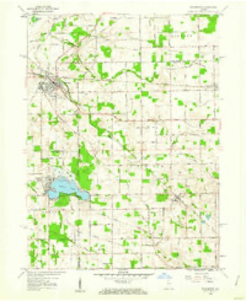
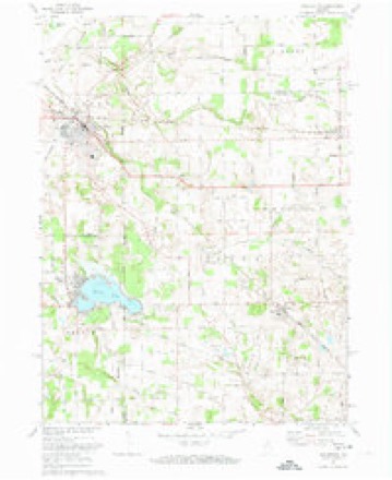
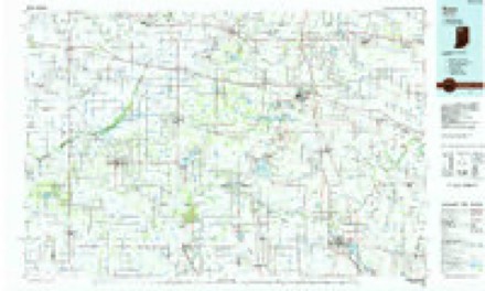
10 topographic sheets cover this place, the earliest surveyed in 1953 and the latest in 1984. It stands in Oregon Township. It lies in ZIP code area 46574. The Survey maps it on the Walkerton quadrangle.
Topographic sheets covering this place
5 surveys from 10 printed sheetsMatched by testing this settlement's coordinate against the published boundary of every sheet in the United States Geological Survey's historical collection. Each opens the scanned sheet at the Survey.
- 1953 USGS Chicago quadrangle1:250000, 5 printings
- 1957 USGS Chicago quadrangle1:250000
- 1958 USGS Walkerton quadrangle1:24000
- 1972 USGS Walkerton quadrangle1:24000
- 1984 USGS Knox quadrangle1:100000, 2 printings


Storms near this place
12 since 1994Regional context, not property-specific evidence. The National Weather Service names Koontz Lake in 12 storm reports between 1994 and 2014: 10 thunderstorm wind, 1 hail, 1 tornado. No death or injury is recorded in these reports. Each account below is quoted exactly as the forecast office filed it, from the NOAA Storm Events Database, and each date opens the federal record of that event.
| When | Event | Place named | Harm | What the report says |
|---|---|---|---|---|
| July 2005 | Thunderstorm Wind | Koontz Lake | $50,000 | A large tree was uprooted, falling over onto a house in Koontz Lake, destroying the home. The home was not occupied at the time. |
| June 2014 | Tornado (EF1) | Koontz Lake | - | A NWS survey of damage confirmed a strong EF1 tornado traveled across mainly wooded areas of far northeastern Starke county. Touchdown occurred along County Road 800 east of County Road 850 East where several trees suffered limb damage. The tornado continued towards the northeast and slowly gained strength and reached peak intensity as it approached and crossed into Marshall county north of Koontz Lake. A quarter mile swath of healthy 18 to 24 inch diameter trees were snapped and uprooted (DI: TH DOD: 4). Maximum winds were estimated at around 110 mph. The total distance the tornado was on the ground across Starke and Marshall counties was 4.9 miles. |
| September 2014 | Thunderstorm Wind | Koontz Lake | - | Emergency management officials reported numerous trees uprooted or snapped across the town. One of the uprooted trees ruptured a natural gas line, resulting in the evacuation of three residences in the area. Several tree branches were reported down with some onto vehicles. No injuries were reported with any of the damage. |
| September 2014 | Thunderstorm Wind | Koontz Lake | - | Wind gusts were estimated to 70 mph. |
| May 2011 | Thunderstorm Wind | Koontz Lake | - | Law enforcement officials received multiple reports of trees down in Koontz Lake. Two intersections also had trees down. One near Route 23 and County Road 300 North and the other near 39 and State Route 8. |
| July 2005 | Thunderstorm Wind | Koontz Lake | - | Trees were blown down. |
| July 2003 | Thunderstorm Wind | Koontz Lake | - | Law enforcement reported trees and power lines down south of Koontz Lake. |
| July 2003 | Thunderstorm Wind | Koontz Lake | - | Law enforcement reported trees and power lines down near Koontz Lake. |
| August 2003 | Thunderstorm Wind | Koontz Lake | - | 1 tree and 1 power line were reported down in the area. |
| May 2000 | Thunderstorm Wind | Koontz Lake | - | Minor wind damage. |
| August 2003 | Thunderstorm Wind | Koontz Lake | - | no account filed |
| June 1994 | Hail | Koontz Lake | - | no account filed |
Nearest settlements
The eight closest, with where each one stands in the county. Distances are straight-line, computed from the Geographic Names Information System coordinates.
| Map | Place | Distance | Sheets |
|---|---|---|---|
| Grovertown | 3.1 miles | 11 | |
| Oak Grove | 9.0 miles | 10 | |
| Ober | 10.4 miles | 11 | |
| Knox | 11.2 miles | 11 | |
| Indian Hill | 12.3 miles | 11 | |
| Brems | 12.5 miles | 11 | |
| Winona | 13.3 miles | 10 | |
| Toto | 15.7 miles | 11 |
Provenance
This settlement is recorded in the Geographic Names Information System as feature 437438. The sheet list is computed by point-in-boundary test against the United States Geological Survey's historical topographic inventory. Both are works of the United States government and carry no copyright under 17 U.S.C. 105.
Storms. NOAA National Centers for Environmental Information, Storm Events Database https://www.ncei.noaa.gov/stormevents/ A work of the United States government, no copyright under 17 U.S.C. 105. Narratives are quoted verbatim from the National Weather Service report and are not edited or summarised.