 Block
Leopold, Indiana
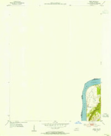
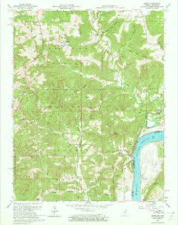
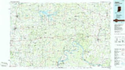
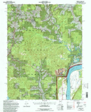
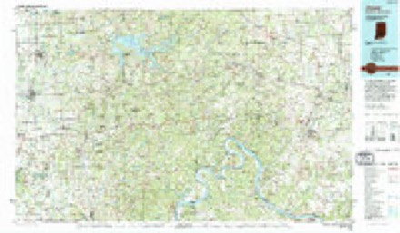
16 topographic sheets cover this place, the earliest surveyed in 1954 and the latest in 1994. It stands in Leopold Township. It lies in ZIP code area 47551. The Survey maps it on the Derby quadrangle. 720 people lived here at the last count. It stands 659 feet above sea level.
Topographic sheets covering this place
8 surveys from 16 printed sheetsMatched by testing this settlement's coordinate against the published boundary of every sheet in the United States Geological Survey's historical collection. Each opens the scanned sheet at the Survey.
- 1954 USGS Derby quadrangle1:24000
- 1956 USGS Vincennes quadrangle1:250000, 4 printings
- 1957 USGS Vincennes quadrangle1:250000
- 1958 USGS Derby quadrangle1:24000, 5 printings
- 1958 USGS Vincennes quadrangle1:250000, 2 printings
- 1986 USGS Jasper quadrangle1:100000
- 1993 USGS Derby quadrangle1:24000
- 1994 USGS Jasper quadrangle1:100000



Fires near this place
28 since 1994Regional context, not property-specific evidence. The federal wildfire occurrence database lists 28 fires within 5 miles of Leopold between 1994 and 2018, burning about 81 acres in total. None started naturally. None was recorded as arson. Distance is straight-line from the map coordinates, so a fire counted here may appear on a neighbouring settlement's page as well.
| Reported cause | Fires |
|---|---|
| Debris and open burning | 18 |
| Smoking | 3 |
| Missing data/not specified/undetermined | 3 |
| Equipment and vehicle use | 2 |
| Recreation and ceremony | 2 |
The most recent of them, most recent first, with the day each was reported and the service that recorded it.
| Date | Cause | Size | Reported by | Name on the report |
|---|---|---|---|---|
| 24 August 1999 | Smoking | 1.0 acres | Hoosier National Forest | ST.CROIX |
| 21 August 1999 | Recreation and ceremony | under an acre | Hoosier National Forest | TIPSAW |
| 17 July 2000 | Debris and open burning | under an acre | Hoosier National Forest | QUARRY |
| 17 July 2000 | Debris and open burning | under an acre | Hoosier National Forest | LIBERTY |
| 7 April 2001 | Debris and open burning | 10 acres | Hoosier National Forest | YEOMAN |
| 7 April 1996 | Debris and open burning | under an acre | Hoosier National Forest | CENTRAL PERRY |
| 6 April 2005 | Debris and open burning | 1.5 acres | Hoosier National Forest | FOX FARM FIRE |
| 29 April 2001 | Debris and open burning | under an acre | Hoosier National Forest | ALBANY ROAD |
Settlements close enough to share some of these fires:
Storms near this place
14 since 1996Regional context, not property-specific evidence. The National Weather Service names Leopold in 14 storm reports between 1996 and 2023: 6 hail, 6 thunderstorm wind, 1 flash flood, 1 tornado. The reports record 3 deaths. Each account below is quoted exactly as the forecast office filed it, from the NOAA Storm Events Database, and each date opens the federal record of that event.
| When | Event | Place named | Harm | What the report says |
|---|---|---|---|---|
| May 2006 | Flash Flood | Leopold | 3 killed, $10,000 | Three were killed when a pickup truck was washed away by flood waters while attempting to cross a normally dry creek bed. One child was able to swim away from the truck and was uninjured. |
| January 2008 | Thunderstorm Wind | Leopold | $50,000 | Thunderstorm winds did roof damage to two houses just outside of Leopold on County Rd 140. |
| June 1998 | Thunderstorm Wind | Leopold | $10,000 | no account filed |
| April 2023 | Tornado (EF1) | Leopold | - | The National Weather Service Louisville confirmed an EF1 tornado|in Eastern Perry County Indiana, near Leopold, from severe storms|on Wednesday afternoon, April 5. The tornado touched down in a|hilly forested area, along Leopold Oriole Road, 0.2 miles north|of the Leopold town square. The twister started off as an EF0 80 |mph in the forested area with a few snapped and uprooted trees. |The tornado rapidly increased to a 95 mph EF1 striking a very well |built 45 by 125 barn with extra hurricane clips, nails and bolts. |The foundation of the barn through the roof bracing was one of the |best new built barns this survey team has ever seen. ||A large portion of the roof was thrown over 100 yards to the north |northeast to a easterly direction. There were numerous boards impaled |into the ground and some of the metal sheeting was thrown 200 yards, |wrapping around a large maple tree. NWS drone footage showed a few |more pieces of the roof were thrown into the neighbor's pond, which |is about 350 yards away. Residents at the home felt their house shake |for about 15 seconds and their ears were popping. ||Adjacent to the barn was a tractor tire that was moved 25 yards to the |northwest with no noticeable skid marks with the tire. The foundation |of the barn was pulled northeastward slightly, and a large pick up |trailer fully loaded with supplies in the barn moved about 6 inches. ||The drone showed a large area of snapped and uprooted trees just |northeast of the home in a forested area. The drone showed no damage |beyond that tree damage across a farmers field. |
| September 2018 | Thunderstorm Wind | Leopold | - | Trees were reported down. |
| April 2015 | Thunderstorm Wind | Leopold | - | Transportation officials reported that downed trees had to be removed from roadways across the county. |
| May 2014 | Thunderstorm Wind | Leopold | - | A spotter in Leopold measured a 63 mph wind gust. He also noted pea sized hail. |
| May 2006 | Hail | Leopold | - | no account filed |
| May 2004 | Hail | Leopold | - | no account filed |
| June 2004 | Hail | Leopold | - | no account filed |
| March 2002 | Hail | Leopold | - | no account filed |
| March 2002 | Thunderstorm Wind | Leopold | - | no account filed |
| January 2000 | Hail | Leopold | - | no account filed |
| May 1996 | Hail | Leopold | - | no account filed |
Nearest settlements
The eight closest, with where each one stands in the county. Distances are straight-line, computed from the Geographic Names Information System coordinates.
| Map | Place | Distance | Sheets |
|---|---|---|---|
| Bandon | 2.5 miles | 14 | |
| Terry | 2.9 miles | 14 | |
| Mount Pleasant | 3.7 miles | 16 | |
| Branchville | 4.1 miles | 14 | |
| Apalona | 4.3 miles | 14 | |
| Gatchel | 5.3 miles | 14 | |
| Ranger | 5.4 miles | 14 | |
| Derby | 5.9 miles | 16 |
Elsewhere
Matched on this settlement's Geographic Names Information System number rather than its name, so it cannot be a different place of the same name in another state.
| Wikipedia article on Leopold | An encyclopaedic summary. Its text is share-alike, so it is linked here rather than copied. |
| Wikidata item Q3476389 | The structured record the population and elevation above come from. Public domain (CC0). |
Provenance
This settlement is recorded in the Geographic Names Information System as feature 451139. The sheet list is computed by point-in-boundary test against the United States Geological Survey's historical topographic inventory. Both are works of the United States government and carry no copyright under 17 U.S.C. 105.
Wildfire. Short, Karen C. 2022. Spatial wildfire occurrence data for the United States, 1992-2020 [FPA_FOD_20221014]. 6th Edition. Fort Collins, CO: Forest Service Research Data Archive. https://doi.org/10.2737/RDS-2013-0009.6 Collected with United States Government funding and usable without additional permissions or fees.
Storms. NOAA National Centers for Environmental Information, Storm Events Database https://www.ncei.noaa.gov/stormevents/ A work of the United States government, no copyright under 17 U.S.C. 105. Narratives are quoted verbatim from the National Weather Service report and are not edited or summarised.