 Block
Little York, Indiana
11 topographic sheets cover this place, the earliest surveyed in 1956 and the latest in 1990. It stands in Gibson Township. It lies in ZIP code area 47170. The Survey maps it on the Little York quadrangle. 189 people lived here at the 2020 count. It stands 548 feet above sea level.
Population over time
2 figuresLittle York fell from 192 to 189 between 2010 and 2020. These are the recorded population figures Wikidata holds for this place, reached through the Geographic Names Information System number this page is keyed on rather than by name, so they belong to this place and not to another of the same name. Most are census counts, but not all are: an early figure may be a founding or settlement estimate, and an estimate published within five years of a census is left out. The change column is computed, and is left blank where more than 20 years separate a figure from the one before it, because a gap that long is not a change between two counts.
| Year | People | Change |
|---|---|---|
| 2010 | 192 | |
| 2020 | 189 | -3 (-2%) |
Topographic sheets covering this place
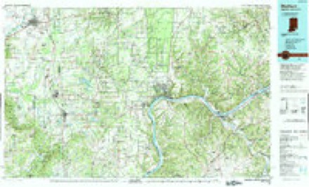
5 surveys from 11 printed sheetsMatched by testing this settlement's coordinate against the published boundary of every sheet in the United States Geological Survey's historical collection. Each opens the scanned sheet at the Survey.
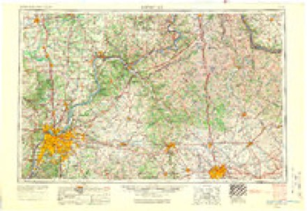
- 1956 USGS Louisville quadrangle1:250000, 2 printings
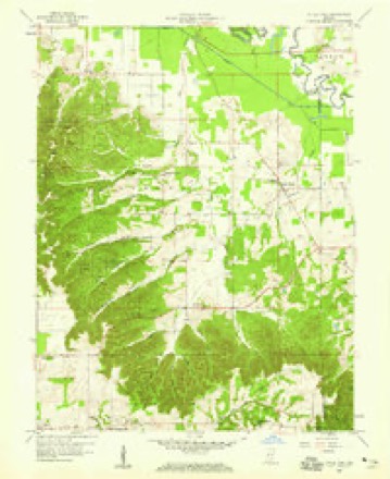
- 1958 USGS Little York quadrangle1:24000, 6 printings
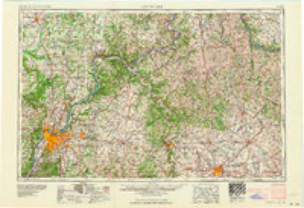
- 1964 USGS Louisville quadrangle1:250000
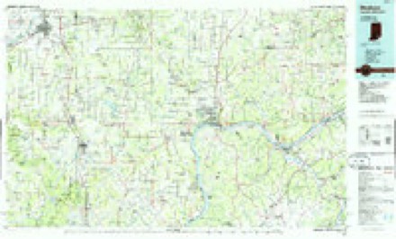
- 1986 USGS Madison quadrangle1:100000
- 1990 USGS Madison quadrangle1:100000
What happened here
An account from the chapter on Gibson township. The inset identifies its exact source book and publication year.
Reminiscences Of Rachel Crocket
"When I can first recollect, deer could be seen ranging in the bottoms in droves. Wolves were thick all through the knobs. We had to keep our cow and calf in the house to keep the wolves from killing them till a log barn was built. Pig(.-ons came o\er like clouds in tlie fall of the year, and we killed all we wanted for meat with clubs.
In the county-history sources
5,425 words on this townshipCentennial History of Washington County, Indiana : Its People, Industies and Institutions : with Biographical Sketches of Representative Citizens and Genealogical Records of Many of the Old Families, published 1916 names this settlement in its chapter on Gibson Township. These are the passages that mention it, exactly as the scans read.
In section 34, Jacob Garriott and William I'ringle. about 1825, discovered a cave back in the knobs containing saltpeter. They worked it a short time, leaching the dirt that wa'^ taken from tlie cave and lioiling down the liquor. .\ very good salt was olitainetl but not in sufficient fpiantitx- to make the business pay.
Passage source: Centennial History of Washington County, Indiana : Its People, Industies and Institutions : with Biographical Sketches of Representative Citizens and Genealogical Records of Many of the Old Families, published 1916.
One of the most celebrated characters that settled in the township at an early day was Murphy D. Still, l)orn near Charleston in the state of South Carolina, in 1758. He was one of the heroes of the American Revolution, and was in the .same company with Arthur Parr. He served in the war for five years, being in several battles, and served in the capacity of scout on many occasions. He was a man of remarkable intellect and noted for his probity and honesty. After he came to Indiana he and Arthur Parr, Micajah Callaway and James Garrison used to meet together quite often and "fight their battles o'er again." They were all men of iron will and strong frames, and ready even in their c)ld age to shoulder their rifles to protect tlieir homes and families - or even to defend the liberties of their country, if necessary.
Passage source: Centennial History of Washington County, Indiana : Its People, Industies and Institutions : with Biographical Sketches of Representative Citizens and Genealogical Records of Many of the Old Families, published 1916.
Elk creek was so named because there were still some elk to be found in its brakes when the first settlers came. Moses Thompson and Micajah Calloway shot a large elk in the bottoms in the spring of 181 1, the animal's horns being now preserved at the museum at the State Uni\ersity, at Bloomington. Sets of horns were frequently picked up \>y early hunters through the bottoms, and skeletons of elk were found here and there, where the animals had probably been killed by early trappers or Indians. BulTalo had gone farther west when the first settlers came in.
Passage source: Centennial History of Washington County, Indiana : Its People, Industies and Institutions : with Biographical Sketches of Representative Citizens and Genealogical Records of Many of the Old Families, published 1916.
Machine-read from a century-old scan, so expect the errors a machine makes: misspelled names, dropped words, stray characters.
Read the whole chapter on Gibson Township - it names this place 4 more 4 times.
Storms near this place
6 since 1998Regional context, not property-specific evidence. The National Weather Service names Little York in 6 storm reports between 1998 and 2018: 4 hail, 2 thunderstorm wind. No death or injury is recorded in these reports. Each account below is quoted exactly as the forecast office filed it, from the NOAA Storm Events Database, and each date opens the federal record of that event.
| When | Event | Place named | Harm | What the report says |
|---|---|---|---|---|
| July 2018 | Hail | Little York | $20,000 | Significant crop damage caused by quarter sized hail was reported at Little York. |
| May 2004 | Thunderstorm Wind | Little York | - | Numerous trees were downed along a highway near Little York. |
| May 2012 | Hail | Little York | - | no account filed |
| April 2007 | Hail | Little York | - | no account filed |
| April 2001 | Hail | Little York | - | no account filed |
| May 1998 | Thunderstorm Wind | Little York | - | no account filed |
Nearest settlements
The eight closest, with where each one stands in the county. Distances are straight-line, computed from the Geographic Names Information System coordinates.
| Map | Place | Distance | Sheets |
|---|---|---|---|
| Gooseport | 2.0 miles | 11 | |
| Pumpkin Center | 2.4 miles | 11 | |
| New Salem | 5.6 miles | 9 | |
| Georgetown | 6.2 miles | 11 | |
| New Philadelphia | 6.3 miles | 11 | |
| Canton | 8.8 miles | 15 | |
| Bunker Hill | 8.9 miles | 9 | |
| South Boston | 9.2 miles | 9 |
Elsewhere
Matched on this settlement's Geographic Names Information System number rather than its name, so it cannot be a different place of the same name in another state.
| Wikipedia article on Little York | An encyclopaedic summary. Its text is share-alike, so it is linked here rather than copied. |
| Wikidata item Q1984342 | The structured record the population and elevation above come from. Public domain (CC0). |
Provenance
This settlement is recorded in the Geographic Names Information System as feature 449687. The sheet list is computed by point-in-boundary test against the United States Geological Survey's historical topographic inventory. Both are works of the United States government and carry no copyright under 17 U.S.C. 105.
Storms. NOAA National Centers for Environmental Information, Storm Events Database https://www.ncei.noaa.gov/stormevents/ A work of the United States government, no copyright under 17 U.S.C. 105. Narratives are quoted verbatim from the National Weather Service report and are not edited or summarised.