 Block
Lookout, Indiana
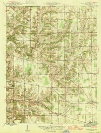
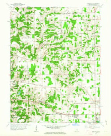
11 topographic sheets cover this place, the earliest surveyed in 1946 and the latest in 1986. It stands in Delaware Township. It lies in ZIP code area 47041. It stands on North Branch Ripley Creek. The Survey maps it on the Pierceville quadrangle. It stands 974 feet above sea level.
Topographic sheets covering this place
5 surveys from 11 printed sheetsMatched by testing this settlement's coordinate against the published boundary of every sheet in the United States Geological Survey's historical collection. Each opens the scanned sheet at the Survey.
- 1946 USGS Pierceville quadrangle1:24000, 2 printings
- 1953 USGS Cincinnati quadrangle1:250000, 3 printings
- 1957 USGS Cincinnati quadrangle1:250000
- 1961 USGS Pierceville quadrangle1:24000, 3 printings
- 1986 USGS Greensburg quadrangle1:100000, 2 printings



Storms near this place
11 since 1997Regional context, not property-specific evidence. The National Weather Service names Lookout in 11 storm reports between 1997 and 2025: 3 thunderstorm wind, 3 hail, 2 flood, 2 tornado. No death or injury is recorded in these reports. Each account below is quoted exactly as the forecast office filed it, from the NOAA Storm Events Database, and each date opens the federal record of that event.
| When | Event | Place named | Harm | What the report says |
|---|---|---|---|---|
| March 2025 | Tornado (EF1) | Lookout | $200,000 | The first signs of concentrated damage were found along State Road 48 between North County Road 100 East and North County Road 200 East, where several trees and outbuildings were damaged on the southern side of State Road 48. The tornado then crossed State Route 48, damaging additional trees and continued east, where it destroyed an outbuilding.||Uprooted trees and minor home damage were then observed along North County Road 200 East. A barn was destroyed and multiple trees were snapped in this area. The tornado then continued eastward, causing additional tree and outbuilding damage near North County Road 500, 550, and 600 East. The tornado likely dissipated south of State Road 48 and east of North County Road 600 East. |
| June 2021 | Tornado (EF1) | Lookout | $100,000 | The first evidence of tornadic damage was observed along East Prattsburg Road, just east of State Route 129, where several trees were knocked down. Additional damage was noted further southeast along East Prattsburg Road, where several additional trees were downed and a carport was destroyed. Tree damage continued along East Prattsburg Road to where it intersected with Old Mill Road and E County Road 475 N. One residence on East Prattsburg Road also experienced minor damage to the home, with some gutters and shingles removed. In a wooded area to the south of East County Road 475 N, the tree damage was more extensive, with numerous hardwood trees snapped.||The tornado moved into the town of Milan and produced sporadic damage, mainly along Josephine Street, Ellsworth Street, and West Ellis Street, where a few large tree limbs were knocked down and siding was also removed from a one story home. Winds in the town of Milan were estimated to be 80 mph, or EF0 in nature.||The tornado then strengthened as it moved just southeast of downtown Milan. Along Woolery Street and Rose Street, the most significant damage from this tornado was observed. The tree damage was much more extensive, with numerous hardwood trees snapped or completely knocked down. Significant tree damage continued southeast onto a residence on North County Road 750 E, where a garage was also destroyed. Damage in this area was consistent with winds of up to 110 mph, or reaching EF1 intensity.||The tornado then weakened and dissipated, with the only remaining damage to the southeast of this area on East 200 N, where one tree was blown down onto a house. |
| March 1997 | Thunderstorm Wind | Lookout | $100,000 | no account filed |
| May 2024 | Flood | Lookout | $10,000 | A high water rescue occurred near Salem Road and County Road 1100 North due to lingering high water along Little Laughery Creek. |
| June 2021 | Thunderstorm Wind | Lookout | $10,000 | A tree fell onto a house. |
| July 2023 | Thunderstorm Wind | Lookout | $1,000 | A tree was downed, blocking a portion of County Road 800 N near County Road 500 E. |
| May 2021 | Flood | Lookout | - | High water was reported on County Road 800 N between 500 E and 600 E. |
| March 2017 | Flash Flood | Lookout | - | Water was flowing over several roads across east central portions of Ripley County. This included a road just east of the intersection of State Routes 129 and 350. |
| July 2018 | Hail | Lookout | - | no account filed |
| March 2017 | Hail | Lookout | - | no account filed |
| March 2010 | Hail | Lookout | - | no account filed |
Nearest settlements
The eight closest, with where each one stands in the county. Distances are straight-line, computed from the Geographic Names Information System coordinates.
| Map | Place | Distance | Sheets |
|---|---|---|---|
| Behlmer Corner | 2.1 miles | 11 | |
| Prattsburg | 2.5 miles | 11 | |
| Delaware | 3.3 miles | 11 | |
| Laughery Switch | 3.6 miles | 11 | |
| Clinton | 4.1 miles | 11 | |
| Stumpke Corner | 4.2 miles | 11 | |
| Ballstown | 4.3 miles | 13 | |
| Pierceville | 4.5 miles | 11 |
Elsewhere
Matched on this settlement's Geographic Names Information System number rather than its name, so it cannot be a different place of the same name in another state.
| Wikipedia article on Lookout | An encyclopaedic summary. Its text is share-alike, so it is linked here rather than copied. |
| Wikidata item Q22059066 | The structured record the population and elevation above come from. Public domain (CC0). |
Provenance
This settlement is recorded in the Geographic Names Information System as feature 438298. The sheet list is computed by point-in-boundary test against the United States Geological Survey's historical topographic inventory. Both are works of the United States government and carry no copyright under 17 U.S.C. 105.
Storms. NOAA National Centers for Environmental Information, Storm Events Database https://www.ncei.noaa.gov/stormevents/ A work of the United States government, no copyright under 17 U.S.C. 105. Narratives are quoted verbatim from the National Weather Service report and are not edited or summarised.