 Block
McCordsville, Indiana
12 topographic sheets cover this place, the earliest surveyed in 1952 and the latest in 1998. It stands in Vernon Township. It lies in ZIP code area 46055. It stands on Bills Branch. The Survey maps it on the McCordsville quadrangle. 8,503 people lived here at the 2020 count. It stands 850 feet above sea level.
Population over time
2 figuresMcCordsville grew from 4,797 to 8,503 between 2010 and 2020. These are the recorded population figures Wikidata holds for this place, reached through the Geographic Names Information System number this page is keyed on rather than by name, so they belong to this place and not to another of the same name. Most are census counts, but not all are: an early figure may be a founding or settlement estimate, and an estimate published within five years of a census is left out. The change column is computed, and is left blank where more than 20 years separate a figure from the one before it, because a gap that long is not a change between two counts.
| Year | People | Change |
|---|---|---|
| 2010 | 4,797 | |
| 2020 | 8,503 | +3,706 (+77%) |
Topographic sheets covering this place
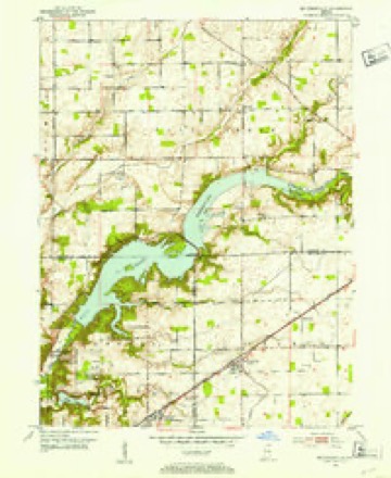
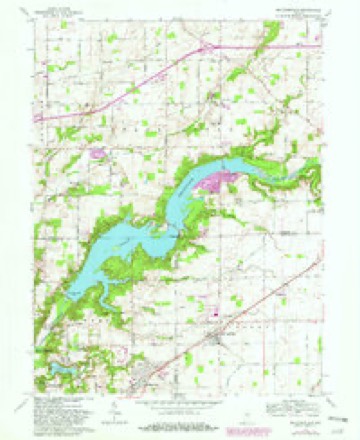
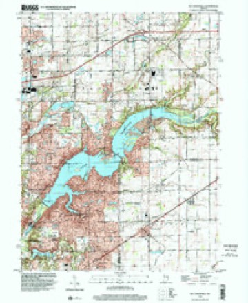
6 surveys from 12 printed sheetsMatched by testing this settlement's coordinate against the published boundary of every sheet in the United States Geological Survey's historical collection. Each opens the scanned sheet at the Survey.
- 1952 USGS Mc Cordsville quadrangle1:24000, 2 printings
- 1953 USGS Cincinnati quadrangle1:250000, 3 printings
- 1957 USGS Cincinnati quadrangle1:250000
- 1962 USGS Mc Cordsville quadrangle1:24000, 3 printings
- 1986 USGS New Castle quadrangle1:100000, 2 printings
- 1998 USGS Mc Cordsville quadrangle1:24000



In the county-history sources
4,977 words on this townshipHistory of Hancock County, Indiana; Its People, Industries and Institutions, published 1916 names this settlement in its chapter on Vernon Township. These are the passages that mention it, exactly as the scans read.
One of the first school houses in Vernon township was located at the northwest corner of section 36, township 17, range 5, or just one mile south of McCordsville. It was known as school district No. 1. Another was located where Fortville now stands. School No. 9 was located at the northwest corner of the southwest quarter of section 16, township 17, range 6, or just one mile south of Fortville. School No. 11 stood at the northeast corner of the northwest quarter of section 14, township 17, range 6: school No. 5, at the southeast corner of the west half .of the northwest quarter of section 23, township 17, range 6; school No. 4, on the east side of the Greenfield and Fortville pike, near the south line of the west half of the southwest quarter of section 26, township 17, range 6; school No. 3, at the southwest corner of the southeast quarter of section 28, township 17, range 6; school No. 2, at the southwest corner of section 29, township 17, range 6; school No. 7, at the southeast corner of section i8> township 17, range 6. All of these schools have been abandoned at this time except . school No. 4, known as Denny's, and another school known as Cook's, which stands on the west side of the Greenfield and Fortville pike near the center of section 22, township 17, range 6. The pupils from the other districts now attend either at McCordsville or Fortville.
Passage source: History of Hancock County, Indiana; Its People, Industries and Institutions, published 1916.
The first graded school was established at McCordsville in 1874. It was a two-story, four-room brick building, and was used until it burned, on April 14, 1877. After the fire the school term was completed in the Methodist church and at the dwelling of Mark Thompson. The walls of the building had not been damaged very much and were used again in the construction of a similar building. This building was used until 1893, when it was condemned and torn down. A third building was at once constructed, which burned during the winter of 1901-2, the term being finished in the Universalist church and at the residence of Thomas R. Pentecost. In 1902, during the trusteeship of John D. Cory, the present high school building was constructed.
Passage source: History of Hancock County, Indiana; Its People, Industries and Institutions, published 1916.
Peter Hinds, one of the teachers of the township, has been teaching in the McCordsville schools since 1892. He was out during the winter of 1902-3, but, with this exception, has now been in the school continuously for twentyfour years.
Passage source: History of Hancock County, Indiana; Its People, Industries and Institutions, published 1916.
Machine-read from a century-old scan, so expect the errors a machine makes: misspelled names, dropped words, stray characters.
Read the whole chapter on Vernon Township - it names this place 20 more 20 times.
Mines and quarries near this place
3 within 5 milesRegional context, not property-specific evidence. The federal mineral resources record lists 3 workings within 5 miles of McCordsville: 3 producers. All of them still produce. What was taken out: Sand and Gravel, Construction, Stone, Crushed/Broken. Distance is straight-line from the map coordinates, so a quarry counted here may appear on a neighbouring settlement's page as well.
| Where | Site | Commodity | Status | Recorded |
|---|---|---|---|---|
| Mccordsville Quarry | Stone, Crushed/Broken | Producer | ||
| Fishers Sand Plant | Sand and Gravel, Construction | Producer | ||
| Mccordsville Pit | Sand and Gravel, Construction | Producer |
Nearest settlements
The eight closest, with where each one stands in the county. Distances are straight-line, computed from the Geographic Names Information System coordinates.
| Map | Place | Distance | Sheets |
|---|---|---|---|
| Woodbury | 1.5 miles | 12 | |
| Pleasant Acres | 3.6 miles | 12 | |
| Fortville | 4.3 miles | 10 | |
| Helmcrest | 4.9 miles | 10 | |
| Colonial Village | 5.1 miles | 10 | |
| Eastgate | 5.2 miles | 10 | |
| Mount Comfort | 5.3 miles | 12 | |
| Denny Corner | 5.6 miles | 10 |
Elsewhere
Matched on this settlement's Geographic Names Information System number rather than its name, so it cannot be a different place of the same name in another state.
| Wikipedia article on McCordsville | An encyclopaedic summary. Its text is share-alike, so it is linked here rather than copied. |
| Wikidata item Q2281290 | The structured record the population and elevation above come from. Public domain (CC0). |
Provenance
This settlement is recorded in the Geographic Names Information System as feature 1699782. The sheet list is computed by point-in-boundary test against the United States Geological Survey's historical topographic inventory. Both are works of the United States government and carry no copyright under 17 U.S.C. 105.
Mines and quarries. USGS Mineral Resources Data System (MRDS) https://mrdata.usgs.gov/mrds/ A work of the United States government, no copyright under 17 U.S.C. 105.