 Block
Millersville, Indiana
17 topographic sheets cover this place, the earliest surveyed in 1948 and the latest in 1998. It stands in Washington Township. It lies in ZIP code area 46220. It stands on Berkshire Creek. The Survey maps it on the Indianapolis East quadrangle.
On record in Millersville
Buildings and businesses the archive holds for this place. Each opens its own page, with the source record it came from.
On the National Register within a mile 1 record
The National Register names another town for these. They stand within one mile of this settlement's coordinate.
- Ladywood Estateslisted 2019 · 0.4 miles away
Topographic sheets covering this place
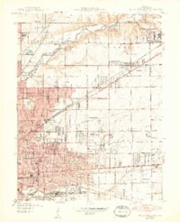
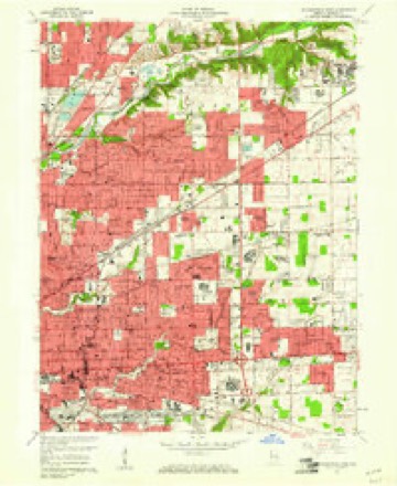
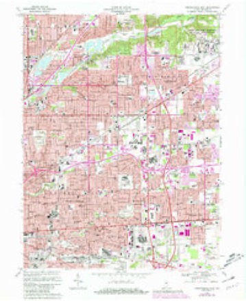
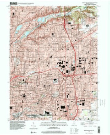
9 surveys from 17 printed sheetsMatched by testing this settlement's coordinate against the published boundary of every sheet in the United States Geological Survey's historical collection. Each opens the scanned sheet at the Survey.
- 1948 USGS Indianapolis East quadrangle1:24000, 2 printings
- 1953 USGS Indianapolis quadrangle1:250000, 4 printings
- 1956 USGS Indianapolis quadrangle1:250000
- 1957 USGS Indianapolis quadrangle1:250000, 2 printings
- 1959 USGS Indianapolis East quadrangle1:24000
- 1962 USGS Indianapolis quadrangle1:250000
- 1967 USGS Indianapolis East quadrangle1:24000, 3 printings
- 1986 USGS Indianapolis quadrangle1:100000, 2 printings
- 1998 USGS Indianapolis East quadrangle1:24000





In the county-history sources
15,135 words on this townshipHistory of Indianapolis and Marion County, Indiana, published 1884 names this settlement in its chapter on Washington Township. These are the passages that mention it, exactly as the scans read.
Peter Smith, the second son of Hezekiah Smith, Sr., was born in Kentucky, Sept. 27, 1803. He emigrated to this township with his father's family in 1820, and remained with his parents till after his father's death. He learned the gunsmith trade, and afterwards became a physician and practiced medicine a few years in the neighborhood of Millersville. He married in 1825, and a few years afterwards went to Nashville, Tenn., thence to New Orleans, where he took the gold fever about 1849 and went to San Francisco, Cal., where he established a hospital. He was in South America a while, but returned and went to Europe, settling in England, where he died Oct. 9, 1866. He was a very successful practitioner of medicine, and for many years a consistent member of the Methodist Episcopal Church.
Passage source: History of Indianapolis and Marion County, Indiana, published 1884.
Hezekiah Smith, Jr., was born Nov. 29, 1805, in Kentucky, and in 1820 emigrated to this township with his parents, with whom he lived till after his father's death. He married in June, 1829, and lived for several years about half a mile southeast of Millersville, on the east part of the farm now owned by William A. Schofield. He joined the Methodist Church at an early date, and was ordained a minister of the gospel, and preached with good eflfect for many years. He died in Indianapolis Dec. 4, 1879.
Passage source: History of Indianapolis and Marion County, Indiana, published 1884.
James Ellis was born in Tennessee about 1798. He came to the township a single man in March, 1820, and settled one half-mile southwest of where Millersville now is. He lived for a while on the farm now owned by David HuiFs heirs. He was an industrious, moral citizen. He married Leah Cruise, who is now living on the old homestead. She has in her possession a large dish which her husband bought of Mrs. Garner sixty-five years ago. Mr. Ellis died in 1845. Mr. and Mrs. Ellis raised four children, three of whom are living. Alfred lives on the old homestead. Henry is in Colorado, and Palina, the wife of William J. Millard, Jr., lives in Iowa. When Mr. Ellis came into this township there were no schools, no preaching, nothing but woods, wild animals, and Indians. He assisted in the burial of the first white person that ever died in Lawrence township, this county.
Passage source: History of Indianapolis and Marion County, Indiana, published 1884.
Machine-read from a century-old scan, so expect the errors a machine makes: misspelled names, dropped words, stray characters.
Read the whole chapter on Washington Township - it names this place 12 more 12 times.
Mines and quarries near this place
5 within 5 milesRegional context, not property-specific evidence. The federal mineral resources record lists 5 workings within 5 miles of Millersville: 3 past producers, 2 producers. 2 still produce. What was taken out: Sand and Gravel, Construction, Stone. Distance is straight-line from the map coordinates, so a quarry counted here may appear on a neighbouring settlement's page as well.
| Where | Site | Commodity | Status | Recorded |
|---|---|---|---|---|
| Lawrence City-Own Crews | Stone | Producer | ||
| Eighty-Sixth Street Sand | Sand and Gravel, Construction | Producer | ||
| Standard Materials Corp S&G Pit | Sand and Gravel, Construction | Past Producer | ||
| U. S. Aggregates, Inc. | Sand and Gravel, Construction | Past Producer | ||
| U. S. Allied Aggregates, Inc. | Sand and Gravel, Construction | Past Producer |
Storms near this place
26 since 2006Regional context, not property-specific evidence. The National Weather Service names Millersville in 26 storm reports between 2006 and 2023: 17 thunderstorm wind, 4 hail, 4 flash flood, 1 flood. No death or injury is recorded in these reports. Each account below is quoted exactly as the forecast office filed it, from the NOAA Storm Events Database, and each date opens the federal record of that event.
| When | Event | Place named | Harm | What the report says |
|---|---|---|---|---|
| May 2008 | Thunderstorm Wind | Millersville | $15,000 | A roof was blown off of a house due to damaging thunderstorm winds. |
| August 2018 | Thunderstorm Wind | Millersville | $8,000 | Large tree limbs were downed on power lines, a transformer exploded, and a pole caught fire due to damaging thunderstorm wind gusts. This event occurred along Allisonville Road, just south of 56th Street. The road was closed in both directions. |
| August 2016 | Thunderstorm Wind | Millersville | $7,000 | Multiple trees were damaged, large tree limbs were downed, and at least one tree was snapped due to damaging thunderstorm wind gusts. |
| August 2016 | Flash Flood | Millersville | $5,000 | Water was halfway up car tires at the intersection of Olney Street and Brockton Drive due to heavy thunderstorm rainfall. |
| May 2008 | Flash Flood | Millersville | $5,000 | A trained spotter observed flash flooding occurring with deep ditches flooding. |
| July 2014 | Thunderstorm Wind | Millersville | $3,000 | A large 60 to 70 foot tall tree was blown down in an alley near the intersection of 56th Street and Emerson Avenue due to damaging thunderstorm wind gusts. The tree knocked power lines down as well. |
| June 2011 | Flash Flood | Millersville | $3,000 | Many roads were reportedly flooded in northeast Marion County with water easily flowing one to two feet deep in some spots. Some of the worst areas were along portions of Johnson Road and the intersection of Kessler and Binford Boulevards, near 59th Street. |
| August 2020 | Thunderstorm Wind | Millersville | $2,000 | Thunderstorm winds snapped off a 36 inch diameter live tree at its base. |
| June 2017 | Thunderstorm Wind | Millersville | $1,500 | A six-inch diameter tree branch was broken and other nearby trees were damaged due to damaging thunderstorm wind gusts. |
| May 2019 | Thunderstorm Wind | Millersville | $1,000 | An estimated thunderstorm wind gust of 70 mph downed a one-foot diameter tree in this location. |
| December 2013 | Flood | Millersville | $1,000 | High water was reported to be flowing over Millersville Road between 46th Street and Emerson Avenue. |
| April 2012 | Thunderstorm Wind | Millersville | $1,000 | An estimated 30 foot tall, healthy pine tree was uprooted and blown over near Binford Boulevard and Emerson Avenue due to thunderstorm wind gusts. |
| June 2011 | Thunderstorm Wind | Millersville | $1,000 | A large tree was downed by damaging thunderstorm wind gusts at the intersection of Allisonville Road and 56th Street. |
| June 2009 | Flash Flood | Millersville | $1,000 | A trained spotter observed 3 to 4 inches of water flowing over a road near Fall Creek Road and Brokenhurst Road. |
| September 2011 | Thunderstorm Wind | Millersville | $500 | Several tree limbs were downed near the intersection of Millersville Road and 42nd Street. |
| April 2012 | Thunderstorm Wind | Millersville | $200 | A 3 to 4 inch diameter tree branch was downed near 56th Street and Binford Boulevard due to thunderstorm wind gusts. |
| August 2020 | Thunderstorm Wind | Millersville | - | A 60 mph thunderstorm wind gust was estimated at this location. |
| March 2017 | Hail | Millersville | - | Hail was covering the ground with some stones up to one inch in diameter. |
| May 2014 | Hail | Millersville | - | Quarter sized hail was observed at 38th Street and Post Road. |
| June 2008 | Thunderstorm Wind | Millersville | - | A thirteen inch diameter tree was down due to damaging thunderstorm winds. |
| May 2008 | Thunderstorm Wind | Millersville | - | Law enforcement reported structural damage due to damaging thunderstorm winds. |
| June 2008 | Thunderstorm Wind | Millersville | - | Tree limbs were down at 56th Street and Keystone Avenue due to damaging thunderstorm winds. |
| July 2023 | Hail | Millersville | - | no account filed |
| May 2008 | Thunderstorm Wind | Millersville | - | no account filed |
| July 2008 | Thunderstorm Wind | Millersville | - | no account filed |
| April 2006 | Hail | Millersville | - | no account filed |
Nearest settlements
The eight closest, with where each one stands in the county. Distances are straight-line, computed from the Geographic Names Information System coordinates.
| Map | Place | Distance | Sheets |
|---|---|---|---|
| Mallot Park (historical) | 1.4 miles | 17 | |
| Brendonwood | 1.5 miles | 17 | |
| Harrison Place (historical) | 1.8 miles | 17 | |
| Dawnbury | 1.9 miles | 17 | |
| Mayflower Meadows | 2.1 miles | 19 | |
| Northwood (historical) | 2.2 miles | 17 | |
| Creekwood | 2.2 miles | 19 | |
| Broad Ripple | 2.3 miles | 19 |
Provenance
This settlement is recorded in the Geographic Names Information System as feature 439235. The sheet list is computed by point-in-boundary test against the United States Geological Survey's historical topographic inventory. Both are works of the United States government and carry no copyright under 17 U.S.C. 105.
Mines and quarries. USGS Mineral Resources Data System (MRDS) https://mrdata.usgs.gov/mrds/ A work of the United States government, no copyright under 17 U.S.C. 105.
Storms. NOAA National Centers for Environmental Information, Storm Events Database https://www.ncei.noaa.gov/stormevents/ A work of the United States government, no copyright under 17 U.S.C. 105. Narratives are quoted verbatim from the National Weather Service report and are not edited or summarised.