 Block
Monoquet, Indiana
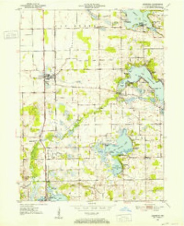
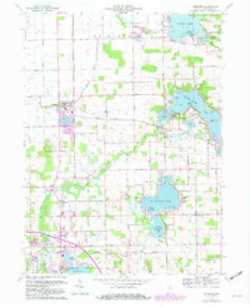
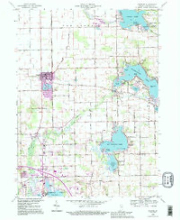
13 topographic sheets cover this place, the earliest surveyed in 1950 and the latest in 1994. It stands in Plain Township. It lies in ZIP code area 46582. The Survey maps it on the Leesburg quadrangle. It stands 846 feet above sea level.
Topographic sheets covering this place
7 surveys from 13 printed sheetsMatched by testing this settlement's coordinate against the published boundary of every sheet in the United States Geological Survey's historical collection. Each opens the scanned sheet at the Survey.
- 1950 USGS Leesburg quadrangle1:24000, 2 printings
- 1953 USGS Fort Wayne quadrangle1:250000, 4 printings
- 1956 USGS Fort Wayne quadrangle1:250000, 2 printings
- 1962 USGS Leesburg quadrangle1:24000, 2 printings
- 1984 USGS Fort Wayne quadrangle1:100000
- 1992 USGS Leesburg quadrangle1:24000
- 1994 USGS Fort Wayne quadrangle1:100000




Mines and quarries near this place
5 within 5 milesRegional context, not property-specific evidence. The federal mineral resources record lists 5 workings within 5 miles of Monoquet: 3 producers, 2 past producers. 3 still produce. What was taken out: Sand and Gravel, Construction, Stone. Distance is straight-line from the map coordinates, so a quarry counted here may appear on a neighbouring settlement's page as well.
| Where | Site | Commodity | Status | Recorded |
|---|---|---|---|---|
| Warsaw Street Dept. | Stone | Producer | ||
| Fuller's Sand & Gravel Pit | Sand and Gravel, Construction | Past Producer | ||
| G. and G. Sand and Gravel Pit | Sand and Gravel, Construction | Past Producer | ||
| Kosciusko Co. Hwy. Dept. | Sand and Gravel, Construction | Producer | ||
| Leesburg Sand & Gravel | Sand and Gravel, Construction | Producer |
Storms near this place
7 since 2010Regional context, not property-specific evidence. The National Weather Service names Monoquet in 7 storm reports between 2010 and 2022: 5 thunderstorm wind, 1 tornado, 1 flood. No death or injury is recorded in these reports. Each account below is quoted exactly as the forecast office filed it, from the NOAA Storm Events Database, and each date opens the federal record of that event.
| When | Event | Place named | Harm | What the report says |
|---|---|---|---|---|
| June 2010 | Tornado (EF1) | Monoquet | $300,000 | A storm survey by NWS personnel indicated a weak circulation embedded in a initially stronger microburst south of US-30. Lofting of debris from a destroyed pole barn was evident in the area suggesting the tornado touched down near a residence south of Fox Farm Road, near North 200 West. The circulation continued to intensify as it tracked southeast into the Center Lake area. Numerous trees were damaged or uprooted along the track with a manufactured home being shifted off its blocks. As the tornado passed over State Route 15, it impacted the Warsaw Foundry, causing the southwest portion of the roof of a building to be torn off (DI: MBS, DOD: 3). The circulation continued across Pike Lake, causing damage to several homes and apartments as well as uprooting trees around the lake and an adjacent cemetery. As it approached U.S. 30, the circulation crossed a large residential area just south of the Kosciusko Community Hospital, uprooting several trees. One large tree fell into the center of a home on Parker Street, destroying it. The circulation crossed US 30 and began to weaken with scattered tree damage. The circulation finally dissipated along Old US 30 east of South 250 East. Maximum winds were estimated around 100 mph. Damage is estimated at $300,000. |
| July 2022 | Thunderstorm Wind | Monoquet | - | A large, 2 foot diameter branch down. |
| August 2021 | Thunderstorm Wind | Monoquet | - | Tree branches down. |
| August 2020 | Thunderstorm Wind | Monoquet | - | An off duty NWS employee reported tree damage in the Northwest woods subdivision. Three healthy, one to two foot diameter trees were blown down. Numerous small to medium limbs (three to eight inches) were also blown down. |
| May 2019 | Thunderstorm Wind | Monoquet | - | An off duty NWS employee reported a one foot diameter blue spruce tree was partial uprooted. |
| May 2019 | Thunderstorm Wind | Monoquet | - | A off duty NWS employee estimated winds to 60 mph. |
| April 2013 | Flood | Monoquet | - | High water was noted on several roadways across mainly the southeastern part of the county where two to four inches of rain fell. This included portions of State Route 14 near Silver Lake. |
Nearest settlements
The eight closest, with where each one stands in the county. Distances are straight-line, computed from the Geographic Names Information System coordinates.
| Map | Place | Distance | Sheets |
|---|---|---|---|
| Lakeside Park | 2.7 miles | 13 | |
| Leesburg | 3.0 miles | 13 | |
| Island Park | 3.3 miles | 13 | |
| Osborn Landing | 3.5 miles | 13 | |
| Warsaw | 3.6 miles | 12 | |
| Clunette | 3.9 miles | 11 | |
| Arrowhead Park | 3.9 miles | 13 | |
| Highlands Park | 4.2 miles | 13 |
Elsewhere
Matched on this settlement's Geographic Names Information System number rather than its name, so it cannot be a different place of the same name in another state.
| Wikipedia article on Monoquet | An encyclopaedic summary. Its text is share-alike, so it is linked here rather than copied. |
| Wikidata item Q14688637 | The structured record the population and elevation above come from. Public domain (CC0). |
Provenance
This settlement is recorded in the Geographic Names Information System as feature 439337. The sheet list is computed by point-in-boundary test against the United States Geological Survey's historical topographic inventory. Both are works of the United States government and carry no copyright under 17 U.S.C. 105.
Mines and quarries. USGS Mineral Resources Data System (MRDS) https://mrdata.usgs.gov/mrds/ A work of the United States government, no copyright under 17 U.S.C. 105.
Storms. NOAA National Centers for Environmental Information, Storm Events Database https://www.ncei.noaa.gov/stormevents/ A work of the United States government, no copyright under 17 U.S.C. 105. Narratives are quoted verbatim from the National Weather Service report and are not edited or summarised.