 Block
Montgomery, Indiana
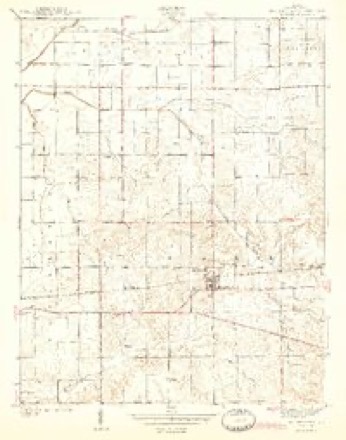
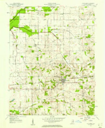
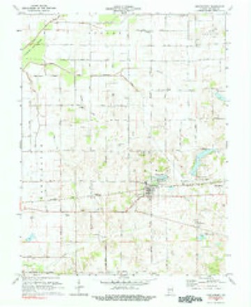
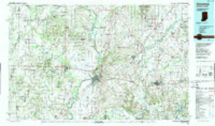
13 topographic sheets cover this place, the earliest surveyed in 1944 and the latest in 1986. It stands in Barr Township. It lies in ZIP code area 47558. It stands on Flat Creek. The Survey maps it on the Montgomery quadrangle. 792 people lived here at the 2020 count. It stands 528 feet above sea level.
Population over time
2 figuresMontgomery grew from 343 to 792 between 2010 and 2020. These are the recorded population figures Wikidata holds for this place, reached through the Geographic Names Information System number this page is keyed on rather than by name, so they belong to this place and not to another of the same name. Most are census counts, but not all are: an early figure may be a founding or settlement estimate, and an estimate published within five years of a census is left out. The change column is computed, and is left blank where more than 20 years separate a figure from the one before it, because a gap that long is not a change between two counts.
| Year | People | Change |
|---|---|---|
| 2010 | 343 | |
| 2020 | 792 | +449 (+131%) |
Topographic sheets covering this place
7 surveys from 13 printed sheetsMatched by testing this settlement's coordinate against the published boundary of every sheet in the United States Geological Survey's historical collection. Each opens the scanned sheet at the Survey.
- 1944 USGS Montgomery quadrangle1:24000, 2 printings
- 1956 USGS Vincennes quadrangle1:250000, 4 printings
- 1957 USGS Montgomery quadrangle1:24000
- 1957 USGS Vincennes quadrangle1:250000
- 1958 USGS Vincennes quadrangle1:250000, 2 printings
- 1979 USGS Montgomery quadrangle1:24000
- 1986 USGS Vincennes quadrangle1:100000, 2 printings



What happened here
An account from the chapter on Barr township. The inset identifies its exact source book and publication year.
Black Oak
Cannelbnrg is an incorporated town with a population cif three luuitlret^l, by the census of I'JlD. It s[)rang into existence on acc(_junt of the e.\tensi\e operations of the iJuckeye Cannel-Coal C_'ompan\' in the early se\'- enties. The town w.as laid out by .\. J. Shot well, I. ( '. Harris and Anthon\- .\loois, who composed ihe co,-|l c,im])any.
In the county-history sources
7,722 words on this townshipHistory of Knox and Daviess County, Indiana : from the Earliest Time to the Present; with Biographical Sketches, Reminiscences, Notes, Etc. ; Together with an Extended History of the Colonial Days of Vincennes, and Its Progress Down to the Formation of the State Government, published 1886; History of Daviess County, Indiana : Its People, Industries and Institutions ... with Biographical Sketches of Representative Citizens and Genealogical Records of Many of the Old Families, published 1915 names this settlement in its chapter on Barr Township. These are the passages that mention it, exactly as the scans read.
Among the earliest settlers in this township were Hugh Barr, James Montgomery, William Dant, Nicholas Kidwell, Joseph Miller, John Shepard, John Allison, John R. Kendall and Williams. Most if not all of these, with numerous others, whose names occur in connection with some of the early land entries, came from Kentucky. Williams Prairie was named after William Williams, and was located nearly two miles west of Montgomery. Barr Township is the largest in the county, containing seventy-six sections, and a proportionately large number of early land entries; hence only those made previous to 1817 are here recorded. Isaac Burgin, on June 1, 1815, entered the northeast quarter of Section 23, Township 3, Range 5, and on the 26th of December Robert M. Davis entered the northwest quarter of Section 5, Township 2, Range 5. In 1816 the following entries were made: February 7, John Hutson, southwest quarter of Section 23, Township 3, Range 6; March 12, James Barr, southeast quarter Section 31, Township 3, Range 5; October 1, William George, east half of the northeast quarter Section 4, Township 2, Range 5 ; October 25, James Montgomery, the northwest and southwest quarters of the southeast quarter of Section 23, Township 3, Range 6, and the northeast quarter Section 26, Township 3, Range 6; Nicholas Kidwell, northwest quarter of Section 26, and Robert Barr, northeast quarter Section 34, same township and range; November 25, Francis McDonald, southwest quarter Section 9, Township 3, Range 6, and on December 12, John Johnson, northwest quarter Section 6, Township 2, Range 5.
Passage source: History of Knox and Daviess County, Indiana : from the Earliest Time to the Present; with Biographical Sketches, Reminiscences, Notes, Etc. ; Together with an Extended History of the Colonial Days of Vincennes, and Its Progress Down to the Formation of the State Government, published 1886.
An amusing story is told by Robert Shercliff. One morning Thomas Shercliff heard some one far in the woods calling his name. Jumping on a large horse, and taking Robert behind him, he hastened toward the call of distress. Upon reaching the spot from which the call proceeded, he found James Seal up a large tree, with only a knot for a foothold, a large buck watching at the foot of the tree, and Mr. Seal's dog watching the deer. Mr. Shercliff dismounted, and from a sapling as rest fired at the deer. At this the buck made for Mr. Shercliff, who effected his escape by climbing a tree. Robert, also, not willing to risk his life by remaining on the horse, had recourse to the same means of safety. At this moment the brave and faithful dog seized the deer, which served as a signal for all three to descend from their perches, and the brave but unfortunate buck soon found all his enemies on him at once, and was compelled to sacrifice his life to satisfy the ravenous appetite of a hunter whom he had held a prisoner for three long hours, and whose cries for help had at length been heard and answered, as above recorded.
Passage source: History of Knox and Daviess County, Indiana : from the Earliest Time to the Present; with Biographical Sketches, Reminiscences, Notes, Etc. ; Together with an Extended History of the Colonial Days of Vincennes, and Its Progress Down to the Formation of the State Government, published 1886.
When first settled, the town was literally "in the woods," a heavy growth of timber surrounding it on all sides. Timber, at that time, was an incumbrance to landowners. After the railroad was completed a considerable im]jetus was given to tiie place, houses springing up on e\ery side ; the mechanic, the merchant, the dealer in coimtry produce found ^Montgomery a desirable place in which to carry on their various viKations. \''alentine Montgomery diti an extensive business in the buying of grain at that station, shipping it to Louisville and Cincinnati.
Passage source: History of Daviess County, Indiana : Its People, Industries and Institutions ... with Biographical Sketches of Representative Citizens and Genealogical Records of Many of the Old Families, published 1915.
Machine-read from a century-old scan, so expect the errors a machine makes: misspelled names, dropped words, stray characters.
Read the whole chapter on Barr Township - it names this place 5 more 5 times.
Storms near this place
7 since 1995Regional context, not property-specific evidence. The National Weather Service names Montgomery in 7 storm reports between 1995 and 2024: 4 thunderstorm wind, 2 hail, 1 flood. No death or injury is recorded in these reports. Each account below is quoted exactly as the forecast office filed it, from the NOAA Storm Events Database, and each date opens the federal record of that event.
| When | Event | Place named | Harm | What the report says |
|---|---|---|---|---|
| May 1998 | Thunderstorm Wind | Montgomery | $10,000 | no account filed |
| July 1995 | Hail | Montgomery | $3,000 | no account filed |
| May 2008 | Flood | Montgomery | $2,000 | Several roads have been flooded throughout the county due to heavy rainfall. |
| June 2024 | Thunderstorm Wind | Montgomery | $1,000 | Thunderstorm winds snapped large tree limb from base of trunk. |
| April 2005 | Thunderstorm Wind | Montgomery | - | Trees and power lines were blown down. |
| July 2005 | Thunderstorm Wind | Montgomery | - | Trees and power lines were downed. |
| June 2023 | Hail | Montgomery | - | no account filed |
Nearest settlements
The eight closest, with where each one stands in the county. Distances are straight-line, computed from the Geographic Names Information System coordinates.
| Map | Place | Distance | Sheets |
|---|---|---|---|
| Black Oak | 1.9 miles | 13 | |
| Cannelburg | 2.6 miles | 13 | |
| Corning | 5.7 miles | 14 | |
| Washington | 6.7 miles | 15 | |
| Glendale | 6.7 miles | 14 | |
| South Washington | 7.3 miles | 15 | |
| Cornettsville | 7.3 miles | 14 | |
| Pennyville | 7.8 miles | 14 |
Elsewhere
Matched on this settlement's Geographic Names Information System number rather than its name, so it cannot be a different place of the same name in another state.
| Wikipedia article on Montgomery | An encyclopaedic summary. Its text is share-alike, so it is linked here rather than copied. |
| Wikidata item Q567907 | The structured record the population and elevation above come from. Public domain (CC0). |
Provenance
This settlement is recorded in the Geographic Names Information System as feature 439359. The sheet list is computed by point-in-boundary test against the United States Geological Survey's historical topographic inventory. Both are works of the United States government and carry no copyright under 17 U.S.C. 105.
Storms. NOAA National Centers for Environmental Information, Storm Events Database https://www.ncei.noaa.gov/stormevents/ A work of the United States government, no copyright under 17 U.S.C. 105. Narratives are quoted verbatim from the National Weather Service report and are not edited or summarised.