 Block
New Lebanon, Indiana
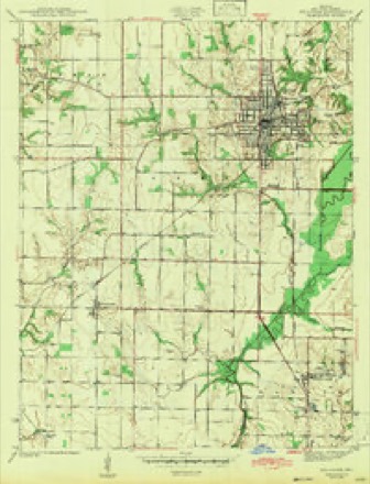
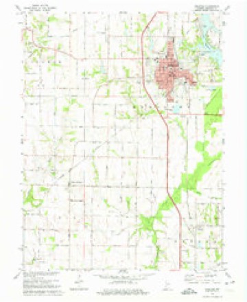
15 topographic sheets cover this place, the earliest surveyed in 1943 and the latest in 1986. It stands in Gill Township. It lies in ZIP code area 47882. The Survey maps it on the Sullivan quadrangle. It stands 518 feet above sea level.
Topographic sheets covering this place
8 surveys from 15 printed sheetsMatched by testing this settlement's coordinate against the published boundary of every sheet in the United States Geological Survey's historical collection. Each opens the scanned sheet at the Survey.
- 1943 USGS Sullivan quadrangle1:24000, 2 printings
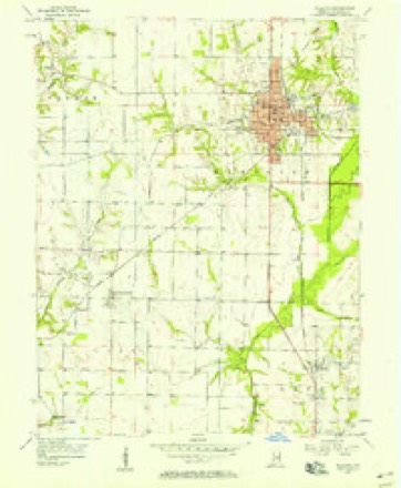
- 1953 USGS Indianapolis quadrangle1:250000, 4 printings
- 1956 USGS Indianapolis quadrangle1:250000
- 1956 USGS Sullivan quadrangle1:24000
- 1957 USGS Indianapolis quadrangle1:250000, 2 printings
- 1962 USGS Indianapolis quadrangle1:250000
- 1974 USGS Sullivan quadrangle1:24000, 2 printings
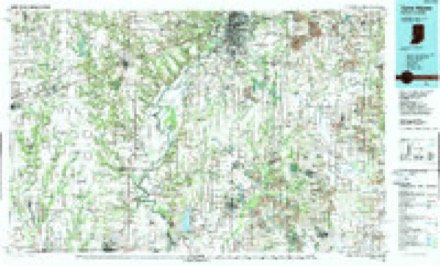
- 1986 USGS Terre Haute quadrangle1:100000, 2 printings




Mines and quarries near this place
1 within 5 milesRegional context, not property-specific evidence. The federal mineral resources record lists 1 working within 5 miles of New Lebanon: 1 past producer. None of them still produces. What was taken out: Sand and Gravel, Construction. Distance is straight-line from the map coordinates, so a quarry counted here may appear on a neighbouring settlement's page as well.
| Where | Site | Commodity | Status | Recorded |
|---|---|---|---|---|
| West Carlisle Gravel Pit | Sand and Gravel, Construction | Past Producer |
Storms near this place
6 since 2002Regional context, not property-specific evidence. The National Weather Service names New Lebanon in 6 storm reports between 2002 and 2025: 4 thunderstorm wind, 1 hail, 1 flash flood. No death or injury is recorded in these reports. Each account below is quoted exactly as the forecast office filed it, from the NOAA Storm Events Database, and each date opens the federal record of that event.
| When | Event | Place named | Harm | What the report says |
|---|---|---|---|---|
| April 2025 | Flash Flood | New Lebanon | $100,000 | Flooding on south section of the street near Family Dollar and Back street. Cars having to slow down due to flowing water. Total rainfall was around 3.75 inches. |
| March 2022 | Thunderstorm Wind | New Lebanon | $80,000 | Thunderstorm wind damage consistent with straight line winds during a brief downburst. The line of thunderstorms produced a very brief bowing segment around 1208 am EST from just south of Merom to just north of County Road 625 South. Assessment of damage shows property and debris thrown in a generally eastward direction with little or no lofting of debris noted.||Thunderstorm winds blew over a recreational vehicle into a pick-up truck at 5151 West County Road 400 South. This impact rolled the truck upside down. Walls of a pole barn were compromised and blown out. HVAC compressor next to the adjacent house was blown off its platform although essentially no damage occurred to house. The yard showed no signs of swirls. Local resident also reported on social media that trees and power lines were also down. Debris from other damage was also reported in the road 1.75 mile to the WSW at Indiana Route 58 and County Road 450 South. |
| May 2002 | Thunderstorm Wind | New Lebanon | $30,000 | Roof was blown off a barn, and a large propane tank was moved. |
| November 2005 | Thunderstorm Wind | New Lebanon | $1,000 | Trees and power lines were downed. |
| June 2010 | Thunderstorm Wind | New Lebanon | - | A thunderstorm wind gust measured at 73 mph was observed on Highway 54, west of Sullivan. |
| May 2002 | Hail | New Lebanon | - | no account filed |
Nearest settlements
The eight closest, with where each one stands in the county. Distances are straight-line, computed from the Geographic Names Information System coordinates.
| Map | Place | Distance | Sheets |
|---|---|---|---|
| Merom Station | 3.7 miles | 20 | |
| Paxton | 4.6 miles | 15 | |
| Sullivan | 5.1 miles | 15 | |
| Merom | 5.2 miles | 20 | |
| Riverton | 5.3 miles | 20 | |
| Carlisle | 6.1 miles | 14 | |
| Benefiel Corner | 6.9 miles | 18 | |
| Graysville | 6.9 miles | 20 |
Elsewhere
Matched on this settlement's Geographic Names Information System number rather than its name, so it cannot be a different place of the same name in another state.
| Wikipedia article on New Lebanon | An encyclopaedic summary. Its text is share-alike, so it is linked here rather than copied. |
| Wikidata item Q14688691 | The structured record the population and elevation above come from. Public domain (CC0). |
Provenance
This settlement is recorded in the Geographic Names Information System as feature 440072. The sheet list is computed by point-in-boundary test against the United States Geological Survey's historical topographic inventory. Both are works of the United States government and carry no copyright under 17 U.S.C. 105.
Mines and quarries. USGS Mineral Resources Data System (MRDS) https://mrdata.usgs.gov/mrds/ A work of the United States government, no copyright under 17 U.S.C. 105.
Storms. NOAA National Centers for Environmental Information, Storm Events Database https://www.ncei.noaa.gov/stormevents/ A work of the United States government, no copyright under 17 U.S.C. 105. Narratives are quoted verbatim from the National Weather Service report and are not edited or summarised.