 Block
Nora, Indiana
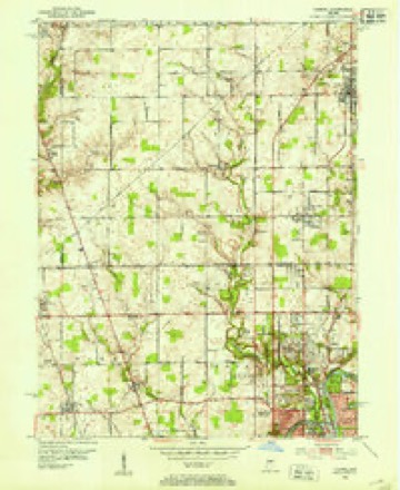
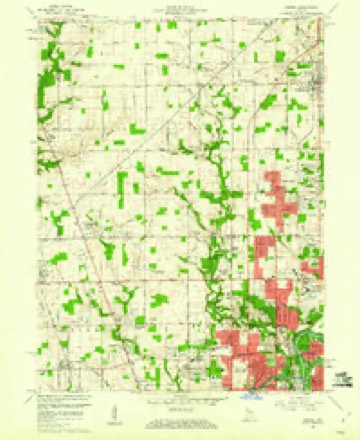
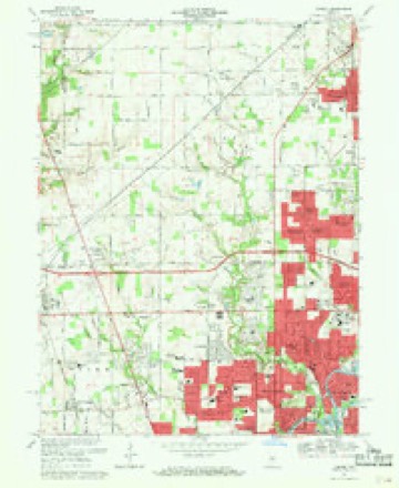
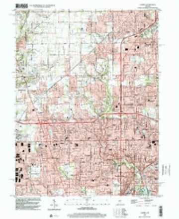
17 topographic sheets cover this place, the earliest surveyed in 1952 and the latest in 1998. It stands in Washington Township. It lies in ZIP code area 46240. It stands on Nora Branch. The Survey maps it on the Carmel quadrangle.
Topographic sheets covering this place
9 surveys from 17 printed sheetsMatched by testing this settlement's coordinate against the published boundary of every sheet in the United States Geological Survey's historical collection. Each opens the scanned sheet at the Survey.
- 1952 USGS Carmel quadrangle1:24000
- 1953 USGS Indianapolis quadrangle1:250000, 4 printings
- 1956 USGS Indianapolis quadrangle1:250000
- 1957 USGS Indianapolis quadrangle1:250000, 2 printings
- 1959 USGS Carmel quadrangle1:24000
- 1962 USGS Indianapolis quadrangle1:250000
- 1967 USGS Carmel quadrangle1:24000, 4 printings
- 1986 USGS Indianapolis quadrangle1:100000, 2 printings
- 1998 USGS Carmel quadrangle1:24000





In the county-history sources
15,135 words on this townshipHistory of Indianapolis and Marion County, Indiana, published 1884 names this settlement in its chapter on Washington Township. These are the passages that mention it, exactly as the scans read.
An examination of the list of tax-payers of 1829 shows that of the Allison family, for whom Allisonville is named, there only remains in this township William, son of John Allison. There remain in this township of the children of Abraham Bowen, Peter, James, and Abraham, Jr., all honorable citizens and farmers. James is, in addition to farming, engaged in merchandising at the town of Nora. Of the Brunson families there remain Erastus and Madison, sons of William, and Asher and Noble, the sons of Jonathan Brunson. Leonidas, the son of Robert Brunson, is yet living in this township. Of Hiram Bacon's family there are still living here Mrs. C. A. Howland and William Bacon. George and Hiram, Jr., live in Shelby County, Ind. Mrs. B. F. Tuttle, daughter of Hiram Bacon, lives in Indianapolis. Of William Bacon's family there remains a grandson (John Strange), a very prosperous and wealthy young farmer. Of James Bunnell's family, Reuben is still living here, a prosperous and honored citizen, having served several terms as township trustee. Robert Barnhill is still living. D. Bowers has two daughters and one son living in this township. Of Jacob Coil's family there are still living in this township two daughters, Mrs. Volney Dawson and Mrs. Hamilton Thompson. William Crist, so often elected constable in the early history of this township, has no descendants left. He, in addition to serving as constable, was or had been quite an Indian-fighter. It is said by his niece, Mrs. Gerard Blue, who is still living here, that Mr. Crist, in the early settling of this county, went with two of his neighbors to the mills on White Water, in the eastern part of the State, and on their way back they were attacked by the Indians in ambush. The two neighbors were both killed and Crist severely wounded, but holding on to his horse he was enabled to make his escape. He had during his life on the frontier received eighteen bullet-wounds from Indian guns.
Passage source: History of Indianapolis and Marion County, Indiana, published 1884.
Nora is a village in the northern part of the township, having a railroad station on the Chicago Air- Line, a post-oflBce, two general country stores, two black smith -shops, and a population of about one hundred and fifty.
Passage source: History of Indianapolis and Marion County, Indiana, published 1884.
Sutton's Corners, also located in the north part of the township, has a school-house (No. 11), one general store, a blacksmith-shop, a drain-tile factory, and a sub-post-ofiice, which receives and distributes mailmatter for and from Nora.
Passage source: History of Indianapolis and Marion County, Indiana, published 1884.
Machine-read from a century-old scan, so expect the errors a machine makes: misspelled names, dropped words, stray characters.
Mines and quarries near this place
7 within 5 milesRegional context, not property-specific evidence. The federal mineral resources record lists 7 workings within 5 miles of Nora: 4 producers, 3 past producers. 4 still produce. What was taken out: Sand and Gravel, Construction, Stone, Crushed/Broken. Distance is straight-line from the map coordinates, so a quarry counted here may appear on a neighbouring settlement's page as well.
| Where | Site | Commodity | Status | Recorded |
|---|---|---|---|---|
| Indianapolis 521 Quarry | Stone, Crushed/Broken | Producer | ||
| Carmel 512 Pit | Sand and Gravel, Construction | Producer | ||
| Eighty-Sixth Street Sand | Sand and Gravel, Construction | Producer | ||
| Indianapolis 513 Pit | Sand and Gravel, Construction | Producer | ||
| Standard Materials Corp S&G Pit | Sand and Gravel, Construction | Past Producer | ||
| U. S. Aggregates, Inc. | Sand and Gravel, Construction | Past Producer | ||
| U. S. Allied Aggregates, Inc. | Sand and Gravel, Construction | Past Producer |
Storms near this place
14 since 2001Regional context, not property-specific evidence. The National Weather Service names Nora in 14 storm reports between 2001 and 2019: 9 hail, 3 flood, 1 flash flood, 1 thunderstorm wind. No death or injury is recorded in these reports. Each account below is quoted exactly as the forecast office filed it, from the NOAA Storm Events Database, and each date opens the federal record of that event.
| When | Event | Place named | Harm | What the report says |
|---|---|---|---|---|
| March 2008 | Flood | Nora | $15,000 | Flooding occurred along the White River in Marion County, including near Nora, due to heavy rain. |
| February 2008 | Flood | Nora | $10,000 | Flooding occurred along the White River in Marion County, including near Nora, due to heavy rain and snow melt. |
| May 2019 | Thunderstorm Wind | Nora | - | An estimated thunderstorm wind gust of 60 mph was observed in this location. |
| April 2013 | Hail | Nora | - | Quarter-sized hail fell on East 96th Street, on the northeast side of Indianapolis. |
| July 2012 | Hail | Nora | - | Quarter sized hail was reported from near the intersection of 96th and Meridian Streets on the county line. |
| February 2009 | Flood | Nora | - | Minor flooding occurred along the White River in Marion County, including in and near Ravenswood, due to heavy rain. It affected a few streets and surrounded low lying homes. The end time of the event is estimated. |
| May 2004 | Flash Flood | Nora | - | Street flooding reported. |
| March 2017 | Hail | Nora | - | no account filed |
| March 2017 | Hail | Nora | - | no account filed |
| April 2015 | Hail | Nora | - | no account filed |
| April 2015 | Hail | Nora | - | no account filed |
| April 2013 | Hail | Nora | - | no account filed |
| April 2006 | Hail | Nora | - | no account filed |
| September 2001 | Hail | Nora | - | no account filed |
Nearest settlements
The eight closest, with where each one stands in the county. Distances are straight-line, computed from the Geographic Names Information System coordinates.
| Map | Place | Distance | Sheets |
|---|---|---|---|
| Sherwood Forest | 0.5 miles | 17 | |
| Driftwood Hills | 0.7 miles | 19 | |
| College Crest | 1.2 miles | 17 | |
| Williams Creek | 1.2 miles | 17 | |
| Spring Mill Woods | 1.6 miles | 17 | |
| Ravenswood | 1.7 miles | 17 | |
| Spring Hollow | 1.7 miles | 17 | |
| Meridian Hills | 2.0 miles | 17 |
Provenance
This settlement is recorded in the Geographic Names Information System as feature 447649. The sheet list is computed by point-in-boundary test against the United States Geological Survey's historical topographic inventory. Both are works of the United States government and carry no copyright under 17 U.S.C. 105.
Mines and quarries. USGS Mineral Resources Data System (MRDS) https://mrdata.usgs.gov/mrds/ A work of the United States government, no copyright under 17 U.S.C. 105.
Storms. NOAA National Centers for Environmental Information, Storm Events Database https://www.ncei.noaa.gov/stormevents/ A work of the United States government, no copyright under 17 U.S.C. 105. Narratives are quoted verbatim from the National Weather Service report and are not edited or summarised.