 Block
Norristown, Indiana
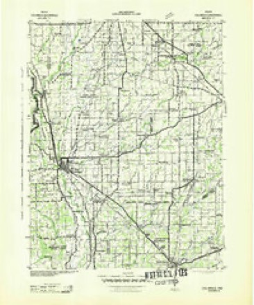
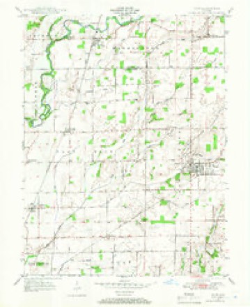
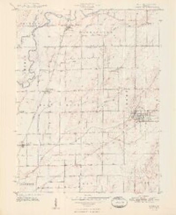
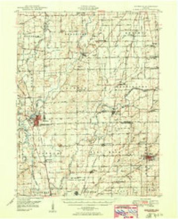
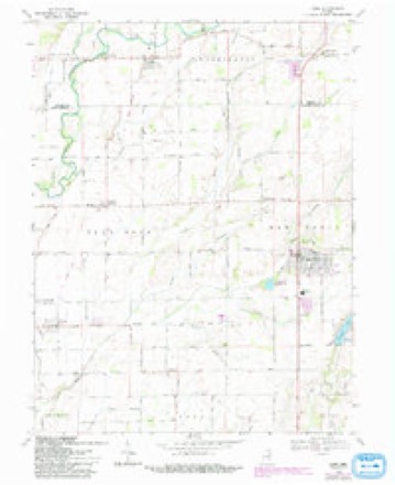
15 topographic sheets cover this place, the earliest surveyed in 1942 and the latest in 1986. It stands in Washington Township. It lies in ZIP code area 47234. The Survey maps it on the Hope quadrangle.
Topographic sheets covering this place
8 surveys from 15 printed sheetsMatched by testing this settlement's coordinate against the published boundary of every sheet in the United States Geological Survey's historical collection. Each opens the scanned sheet at the Survey.
- 1942 USGS Columbus quadrangle1:125000
- 1947 USGS Hope quadrangle1:24000
- 1948 USGS Hope quadrangle1:24000, 2 printings
- 1950 USGS Edinburg quadrangle1:62500, 2 printings
- 1953 USGS Cincinnati quadrangle1:250000, 3 printings
- 1957 USGS Cincinnati quadrangle1:250000
- 1968 USGS Hope quadrangle1:24000, 3 printings
- 1986 USGS Greensburg quadrangle1:100000, 2 printings



Fires near this place
1 since 2003Regional context, not property-specific evidence. The federal wildfire occurrence database lists 1 fire within 5 miles of Norristown in 2003, burning under an acre in total. None started naturally. None was recorded as arson. Distance is straight-line from the map coordinates, so a fire counted here may appear on a neighbouring settlement's page as well.
| Reported cause | Fires |
|---|---|
| Debris and open burning | 1 |
The most recent of them, most recent first, with the day each was reported and the service that recorded it.
| Date | Cause | Size | Reported by | Name on the report |
|---|---|---|---|---|
| 19 April 2003 | Debris and open burning | under an acre | Indiana State Fire Marshal's Office | not named |
Settlements close enough to share some of these fires:
Mines and quarries near this place
2 within 5 milesRegional context, not property-specific evidence. The federal mineral resources record lists 2 workings within 5 miles of Norristown: 1 occurrence, 1 producer. 1 still produces. What was taken out: Zinc, Sulfur, Stone, Crushed/Broken. Distance is straight-line from the map coordinates, so a quarry counted here may appear on a neighbouring settlement's page as well.
| Where | Site | Commodity | Status | Recorded |
|---|---|---|---|---|
| Cave Plant | Stone, Crushed/Broken | Producer | ||
| Sphalerite Occurrence | Zinc, Sulfur | Occurrence | Sphalerite |
Storms near this place
6 since 2005Regional context, not property-specific evidence. The National Weather Service names Norristown in 6 storm reports between 2005 and 2021: 2 thunderstorm wind, 1 tornado, 1 hail, 1 flash flood. The reports record 1 injury. Each account below is quoted exactly as the forecast office filed it, from the NOAA Storm Events Database, and each date opens the federal record of that event.
| When | Event | Place named | Harm | What the report says |
|---|---|---|---|---|
| November 2005 | Tornado (F3) | Norristown | 1 hurt, $5,000,000 | A strong F3 tornado touched down in northern Bartholomew county on 15 November 2005, continuing into southeast Shelby county, where it would do the majority of its damage. No one was killed by this powerful tornado, despite areas of severe damage, and only one minor injury was reported. A resident sustained an ankle injury when moving quickly down into his basement with his family to take cover. The worst damage along the tornado's path took place along and near Vandalia Road just east of the town of Geneva, where a large hog farm was severely damaged, and an old farm house was blown off its foundation. The structural integrity of the destroyed home was insufficient to justify a violent rating. Around 25 properties were damaged in this largely rural area, with six declared total losses. |
| July 2012 | Thunderstorm Wind | Norristown | $15,000 | There were reports of trees, limbs, and power lines down between County Roads 900 South and 1000 South on State Route 9 due to damaging thunderstorm wind gusts. A flatbed trailer moved into a bean field from a residence. Also, a carport was moved across State Route 9 from a residence. |
| July 2018 | Thunderstorm Wind | Norristown | $8,000 | The Shelby County Sheriff Department was on scene with trees downed on County Road 900 South due to damaging thunderstorm wind gusts. The trees were large enough to require chainsaws for removal. Power lines are also affected and damaged. |
| July 2021 | Flash Flood | Norristown | - | Flooded roads reported in numerous locations. This required road signs and motorists to find other routes. Specifically at...County Roads 1100 South and 300 East...County Roads 1000 South and 275 East...And Indiana Route 9 south of Indiana Route 252. Just north of this area, 6.66 of rain was reported at the Flat Rock 4.3 ENE CoCoRaHS site. The rain fell between 0800 and 2200 EST. This observation was confirmed by NWS IND. |
| July 2021 | Flood | Norristown | - | Water on roadway but not particularly deep at Indiana State Route 252 and County Road 25 West. |
| August 2011 | Hail | Norristown | - | no account filed |
Nearest settlements
The eight closest, with where each one stands in the county. Distances are straight-line, computed from the Geographic Names Information System coordinates.
| Map | Place | Distance | Sheets |
|---|---|---|---|
| Camp Flat Rock | 2.3 miles | 12 | |
| Geneva | 2.8 miles | 12 | |
| Sleepy Hollow | 3.1 miles | 12 | |
| Pleasure Valley | 3.7 miles | 12 | |
| Flat Rock | 3.8 miles | 15 | |
| Lewis Creek | 3.9 miles | 14 | |
| Wilson Corner | 5.0 miles | 14 | |
| Morven | 6.6 miles | 12 |
Provenance
This settlement is recorded in the Geographic Names Information System as feature 440208. The sheet list is computed by point-in-boundary test against the United States Geological Survey's historical topographic inventory. Both are works of the United States government and carry no copyright under 17 U.S.C. 105.
Wildfire. Short, Karen C. 2022. Spatial wildfire occurrence data for the United States, 1992-2020 [FPA_FOD_20221014]. 6th Edition. Fort Collins, CO: Forest Service Research Data Archive. https://doi.org/10.2737/RDS-2013-0009.6 Collected with United States Government funding and usable without additional permissions or fees.
Mines and quarries. USGS Mineral Resources Data System (MRDS) https://mrdata.usgs.gov/mrds/ A work of the United States government, no copyright under 17 U.S.C. 105.
Storms. NOAA National Centers for Environmental Information, Storm Events Database https://www.ncei.noaa.gov/stormevents/ A work of the United States government, no copyright under 17 U.S.C. 105. Narratives are quoted verbatim from the National Weather Service report and are not edited or summarised.