 Block
Oldenburg, Indiana
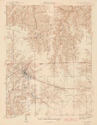
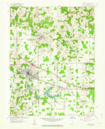
13 topographic sheets cover this place, the earliest surveyed in 1946 and the latest in 1986. It stands in Ray Township. The Survey maps it on the Batesville quadrangle.
On record in Oldenburg
Buildings and businesses the archive holds for this place. Each opens its own page, with the source record it came from.
On the National Register 1 record
 Oldenburh Historic Districtlisted 1983
Topographic sheets covering this place
5 surveys from 13 printed sheetsMatched by testing this settlement's coordinate against the published boundary of every sheet in the United States Geological Survey's historical collection. Each opens the scanned sheet at the Survey.
- 1946 USGS Batesville quadrangle1:24000, 2 printings
- 1953 USGS Cincinnati quadrangle1:250000, 3 printings
- 1957 USGS Cincinnati quadrangle1:250000
- 1961 USGS Batesville quadrangle1:24000, 5 printings
- 1986 USGS Greensburg quadrangle1:100000, 2 printings



Mines and quarries near this place
1 within 5 milesRegional context, not property-specific evidence. The federal mineral resources record lists 1 working within 5 miles of Oldenburg: 1 past producer. None of them still produces. What was taken out: Clay. Distance is straight-line from the map coordinates, so a quarry counted here may appear on a neighbouring settlement's page as well.
| Where | Site | Commodity | Status | Recorded |
|---|---|---|---|---|
| Batesville Clay Mine & Plant | Clay | Past Producer |
Storms near this place
11 since 2002Regional context, not property-specific evidence. The National Weather Service names Oldenburg in 11 storm reports between 2002 and 2024: 3 thunderstorm wind, 3 flood, 2 hail, 2 flash flood. The reports record 1 injury. Each account below is quoted exactly as the forecast office filed it, from the NOAA Storm Events Database, and each date opens the federal record of that event.
| When | Event | Place named | Harm | What the report says |
|---|---|---|---|---|
| August 2002 | Lightning | Oldenburg | 1 hurt | A man was struck by lightning at the Cricket Ridge Golf Club on State Route 229. |
| June 2021 | Flash Flood | Oldenburg | $500,000 | Numerous reports of flash flooding were received from southern portions of Franklin County. Multiple road wash outs and erosions occurred along Barber Road, Bessler Road, Cane Mill Road, Cherry Hill Road, County Line Road, Creek Road, Elkhorn Road, Enochsburg Road, Gobles Creek Road, Monroe Road, Mountford Lane, Orchard Road, Pine Road, Pipe Creek Road, Possum Hollow Road, River Road, Russell Road, Shanks Road, Siemon Road, Sorber Road, St. Peters Road, Stockpile Road and Webb Road. |
| May 2024 | Flash Flood | Oldenburg | $10,000 | Flowing water along Huntersville Road caused some road damage. |
| March 2008 | Flood | Oldenburg | $5,000 | Multiple roads across the county were flooded and closed. |
| December 2006 | Thunderstorm Wind | Oldenburg | $5,000 | A few trees were downed in the southern part of the county. |
| September 2022 | Thunderstorm Wind | Oldenburg | $1,000 | A tree fell onto a road. |
| June 2010 | Thunderstorm Wind | Oldenburg | $1,000 | A few trees were blown down due to damaging thunderstorm winds. |
| July 2023 | Flood | Oldenburg | - | Minor street flooding was reported. |
| March 2022 | Flood | Oldenburg | - | Huntersville Road was closed between Vote Road and Pocket Road due to high water. |
| April 2012 | Hail | Oldenburg | - | no account filed |
| April 2006 | Hail | Oldenburg | - | no account filed |
Nearest settlements
The eight closest, with where each one stands in the county. Distances are straight-line, computed from the Geographic Names Information System coordinates.
| Map | Place | Distance | Sheets |
|---|---|---|---|
| Huntersville | 2.9 miles | 13 | |
| Hamburg | 3.8 miles | 10 | |
| Peppertown | 4.4 miles | 10 | |
| Enochsburg | 4.9 miles | 12 | |
| Saint Marys | 5.1 miles | 9 | |
| Oak Forest | 7.0 miles | 10 | |
| Buena Vista | 7.7 miles | 10 | |
| Youngs Corner | 7.9 miles | 9 |
Provenance
This settlement is recorded in the Geographic Names Information System as feature 449704. The sheet list is computed by point-in-boundary test against the United States Geological Survey's historical topographic inventory. Both are works of the United States government and carry no copyright under 17 U.S.C. 105.
Mines and quarries. USGS Mineral Resources Data System (MRDS) https://mrdata.usgs.gov/mrds/ A work of the United States government, no copyright under 17 U.S.C. 105.
Storms. NOAA National Centers for Environmental Information, Storm Events Database https://www.ncei.noaa.gov/stormevents/ A work of the United States government, no copyright under 17 U.S.C. 105. Narratives are quoted verbatim from the National Weather Service report and are not edited or summarised.