 Block
Orrville, Indiana
24 topographic sheets cover this place, the earliest surveyed in 1901 and the latest in 1986. It stands in Decker Township. It lies in ZIP code area 47524. The Survey maps it on the East Mount Carmel quadrangle.
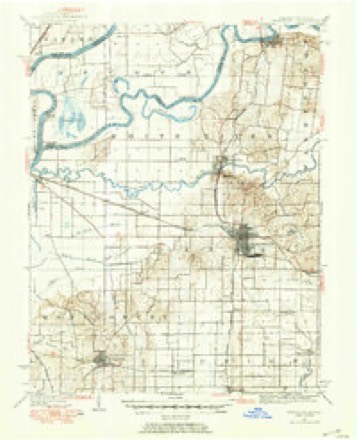
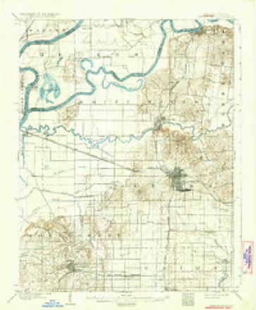
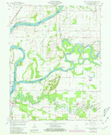
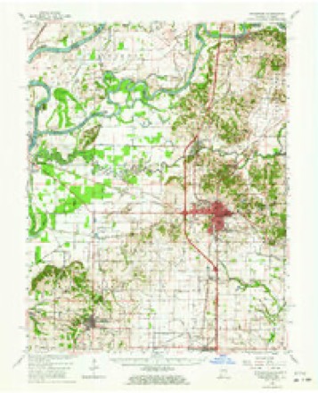
Topographic sheets covering this place
9 surveys from 24 printed sheetsMatched by testing this settlement's coordinate against the published boundary of every sheet in the United States Geological Survey's historical collection. Each opens the scanned sheet at the Survey.
- 1901 USGS Princeton quadrangle1:62500
- 1903 USGS Patoka quadrangle1:125000, 2 printings
- 1903 USGS Princeton quadrangle1:62500, 6 printings
- 1956 USGS Vincennes quadrangle1:250000, 4 printings
- 1957 USGS Vincennes quadrangle1:250000
- 1958 USGS Vincennes quadrangle1:250000, 2 printings
- 1959 USGS East Mount Carmel quadrangle1:24000, 4 printings
- 1959 USGS Princeton quadrangle1:62500, 2 printings
- 1986 USGS Princeton quadrangle1:100000, 2 printings





Mines and quarries near this place
2 within 5 milesRegional context, not property-specific evidence. The federal mineral resources record lists 2 workings within 5 miles of Orrville: 1 past producer, 1 producer. 1 still produces. What was taken out: Sand and Gravel, Construction. Distance is straight-line from the map coordinates, so a quarry counted here may appear on a neighbouring settlement's page as well.
| Where | Site | Commodity | Status | Recorded |
|---|---|---|---|---|
| Allendale Gravel Co. Pit #2 | Sand and Gravel, Construction | Past Producer | ||
| K-M-K Sand & Gravel Pit | Sand and Gravel, Construction | Producer |
Storms near this place
11 since 2008Regional context, not property-specific evidence. The National Weather Service names Orrville in 11 storm reports between 2008 and 2022: 8 flood, 2 flash flood, 1 tornado. No death or injury is recorded in these reports. Each account below is quoted exactly as the forecast office filed it, from the NOAA Storm Events Database, and each date opens the federal record of that event.
| When | Event | Place named | Harm | What the report says |
|---|---|---|---|---|
| May 2022 | Tornado (EF1) | Orrville | $200,000 | Tornado crossed a county line 10 times in its 26.7-mile track from Illinois to Indiana, see below for lat/long/location/time details for each border crossing.||The tornado first entered the extreme southwestern corner of Knox County at 940 PM EST and proceeded to cause damage consistent with EF0/EF1 intensity: snapping two hardwood trees that fell onto power lines on South 1300 West at 13.4 miles west, breaking large hardwood tree branches on South County Road 1300 West at 18.3 miles south, and leaning two utility poles on South 1200 West at 19.9 miles south.||The tornado's center track then crossed the Knox-Gibson county line 4 times over a 1.4-mile segment roughly midway between Mt. Carmel, IL and Hazleton, IN before re-entering Knox County to cause damage consistent with EF0 intensity during 944-949 PM EST: breaking small hardwood tree limbs on South County Road 775 West at 18.6 miles south; and then along the 17.8 South parallel, blowing over 5 irrigation sections at 8.7 miles west, before blowing over two more irrigation sections and blowing in a barn door and tree damage at 8.1 miles west; and then breaking large hardwood tree branches along South County Road 775 West at both 17.0 miles south and 16.55 miles south.||The tornado track then entered the appendage of Gibson County west of Hazleton, IN for 0.5 miles before again re-entering Knox County to cause damage consistent with EF1 intensity at 952 PM EST: leaning utility poles and snapping several tree branches on West County Road 1750 South just west of Old US Route 41.||The tornado track then entered Gibson County for the final time while transecting the appendage north of Hazleton, IN for 1.0 miles before re-entering Knox County for the final time to cause damage consistent with EF0/EF1 intensity at 954 PM EST in the town of Decker, IN: uprooting large hardwood trees along Broadway Street near 3rd Street, with large hardwood branches snapped across southern and eastern portions of Decker.||The tornado continued to the northeast, next causing damage consistent with EF0/EF1 intensity during 955-959 PM EST: snapping branches of various sizes from both softwood and hardwood trees along Indiana Route 241 and East County Road 1250 South to the west of Iona, IN; as well as destroying an old barn on East 1250 South just east of South Decker Road by lifting the roof which allowed the walls to collapse.||The tornado's final observed damage was consistent with EF1 intensity during 1000-1003 PM EST : snapping several softwood trees on South Hart Road just northwest of Upper River Deshee, and fully destroying a barn on Southeast County Road 200 East east of Upper River Deshee, scattering debris several hundred feet to the northeast.||Further data regarding every county/state border crossing.|ILLINOIS: traveled 8.33 miles as EF0-EF2 before entering Gibson County Indiana.|INDIANA: traveled 18.36 miles as EF0-EF1: Gibson Co. (3.51 mi), Knox Co. (14.85 mi).|A, 38.410/-87.745, Mt. Carmel 1.1 ESE, 2139EST, Illinois to Indiana; |B, 38.417/-87.732, Mt. Carmel 1.8 E, 2140EST, Gibson to Knox; |C, 38.446/-87.674, Mt. Carmel 5.3 ENE, 2143EST, Knox to Gibson; |D, 38.448/-87.669, Mt. Carmel 5.6 ENE, 2143EST, Gibson to Knox; |E, 38.450/-87.664, Mt. Carmel 5.9 ENE, 2143EST, Knox to Gibson; |F, 38.455/-87.651, Mt. Carmel 6.7 ENE, 2144EST, Gibson to Knox; |G, 38.490/-87.586, Hazleton 2.3 W, 2150EST, Knox to Gibson; |H, 38.494/-87.577, Hazleton 1.9 W, 2150EST, Gibson to Knox; |I, 38.507/-87.546, Hazleton 1.2 N, 2152EST, Knox to Gibson; |J, 38.515/-87.530, Decker 0.4 SSW, 2153EST, Gibson to Knox;|K, 38.609/-87.400, Monroe City 2.5 WSW, 2203EST, End of track in Knox Co, IN. |
| February 2008 | Flood | Orrville | $10,000 | Flooding occurred along the Wabash River in southwestern Knox County due to heavy rain and snow melt. |
| March 2008 | Flood | Orrville | $10,000 | Flooding occurred along the Wabash River in southwestern Knox County due to heavy rain. Flooding continued until April 19th at 17:07. |
| March 2008 | Flood | Orrville | $10,000 | Flooding occurred along the Wabash River in southwestern Knox County due to heavy rain and snow melt. |
| May 2008 | Flood | Orrville | $5,000 | Flooding occurred along the Wabash River in southwestern Knox County due to heavy rain. |
| June 2018 | Flash Flood | Orrville | $1,000 | Coyote Road between Beal Road and 6th Street Road was closed with water flowing over it due to heavy thunderstorm rainfall. |
| February 2009 | Flash Flood | Orrville | - | Extensive lowland flooding occurred along the Wabash River in Knox County, including near Mount Carmel, Illinois, due to heavy rain. |
| April 2009 | Flood | Orrville | - | Flooding occurred along the Wabash River in rural southwest Knox County west/southwest of Orrville, Indiana, affecting agricultural land and back roads. The river crested 4.7 feet above flood stage at the nearby Mount Carmel, Illinois river gauge on April 15th at a reading of 23.7 feet. |
| May 2009 | Flood | Orrville | - | Fairly extensive flooding of agricultural lands occurred along the Wabash River approximately 4.3 miles southwest of Orrville, Indiana, which is an area near Mount Carmel, Illinois. The river crested 2.4 feet above flood stage on May 9th at a reading of 21.4 feet. Flooding of this magnitude typically affects only agricultural land, rural roads, and perhaps some river cabins in Knox County. Affects are more dramatic across the river in Illinois. Damage costs are grossly estimated. |
| May 2009 | Flood | Orrville | - | Extensive lowland flooding occurred along the Wabash River about 4 miles southwest of Orrville, Indiana, around the Mount Carmel, Illinois area. The river crested 7.8 feet above flood stage on May 22nd at a reading of 26.8 feet. At 26.7 feet extensive agricultural flooding typically occurs in areas that are not protected by levees. Damage costs are grossly estimated. |
| April 2008 | Flood | Orrville | - | Flooding occurred along the Wabash River in southwestern Knox County due to heavy rain. This flooding was a continuation from flooding that began on March 18th at 1030. Flood damages from March are estimated at ten thousand dollars. |
Nearest settlements
The eight closest, with where each one stands in the county. Distances are straight-line, computed from the Geographic Names Information System coordinates.
| Map | Place | Distance | Sheets |
|---|---|---|---|
| Little Rock | 2.6 miles | 24 | |
| Bloods Wood Crossing | 6.3 miles | 18 | |
| Bandmill | 7.1 miles | 18 | |
| Twin Bridges | 7.2 miles | 18 | |
| Decker Chapel | 8.2 miles | 24 | |
| Sisson | 8.3 miles | 18 | |
| Beal | 8.7 miles | 18 | |
| Decker | 9.6 miles | 18 |
Provenance
This settlement is recorded in the Geographic Names Information System as feature 440706. The sheet list is computed by point-in-boundary test against the United States Geological Survey's historical topographic inventory. Both are works of the United States government and carry no copyright under 17 U.S.C. 105.
Mines and quarries. USGS Mineral Resources Data System (MRDS) https://mrdata.usgs.gov/mrds/ A work of the United States government, no copyright under 17 U.S.C. 105.
Storms. NOAA National Centers for Environmental Information, Storm Events Database https://www.ncei.noaa.gov/stormevents/ A work of the United States government, no copyright under 17 U.S.C. 105. Narratives are quoted verbatim from the National Weather Service report and are not edited or summarised.