 Block
Paradise, Indiana
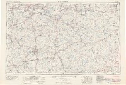
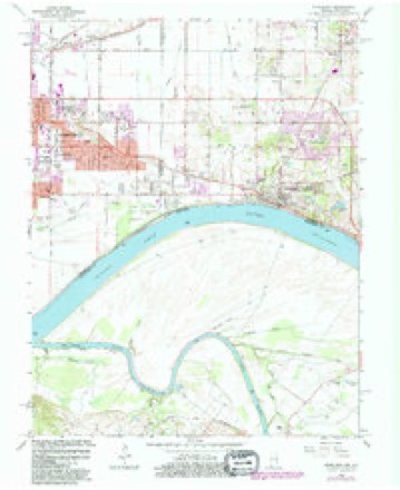
16 topographic sheets cover this place, the earliest surveyed in 1905 and the latest in 1991. It stands in Ohio Township. It lies in ZIP code area 47630. The Survey maps it on the Newburgh quadrangle.
Topographic sheets covering this place
8 surveys from 16 printed sheetsMatched by testing this settlement's coordinate against the published boundary of every sheet in the United States Geological Survey's historical collection. Each opens the scanned sheet at the Survey.
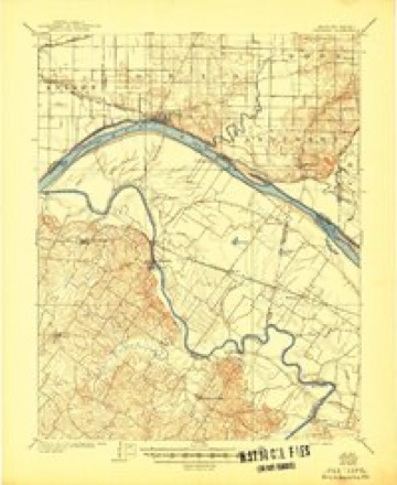
- 1905 USGS Newburg quadrangle1:62500, 3 printings
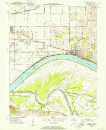
- 1952 USGS Newburgh quadrangle1:24000, 2 printings
- 1954 USGS Evansville quadrangle1:250000
- 1957 USGS Evansville quadrangle1:250000, 3 printings
- 1961 USGS Evansville quadrangle1:250000, 2 printings
- 1964 USGS Newburgh quadrangle1:24000, 3 printings
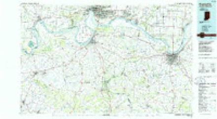
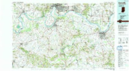
- 1986 USGS Evansville quadrangle1:100000
- 1991 USGS Evansville quadrangle1:100000
In the county-history sources
62 words on this townshipWarrick and Its Prominent People : a History of Warrick County, Indiana, from the Time of Its Organization and Settlement, with Biographical Sketches of Some of Its Prominent People of the Past and Present, published 1881 has no passage naming this settlement, which was common for smaller places. Its township is covered in full.
The chapter on Ohio Township covers the township.
Read the chapter on Ohio Township - 62 words.
Storms near this place
12 since 1998Regional context, not property-specific evidence. The National Weather Service names Paradise in 12 storm reports between 1998 and 2025: 5 thunderstorm wind, 2 hail, 2 flash flood, 1 heavy rain. No death or injury is recorded in these reports. Each account below is quoted exactly as the forecast office filed it, from the NOAA Storm Events Database, and each date opens the federal record of that event.
| When | Event | Place named | Harm | What the report says |
|---|---|---|---|---|
| August 2009 | Flash Flood | Paradise | $30,000 | Flash flooding was reported along a few roads, including Highways 66 and 261. Water was up to vehicle doors on Highway 66. Three vehicles were stranded in high water on Highway 261 just outside Newburgh. One vehicle was stranded at the intersection of Highways 66 and 261. The main flooded area was on Highway 261 from Highway 66 southward toward Newburgh. There was an unconfirmed report of four inches of rain in Newburgh. A trained spotter in Newburgh measured 1.99 inches in an hour. |
| May 2024 | Tornado (EF1) | Paradise | $25,000 | A brief EF-1 tornado with estimated peak winds of 94 mph struck the northeast side of Newburgh, IN. The great majority of the damage was from uprooted trees and downed large tree limbs in a south to north path between Marywood Drive and Oakdale Drive. A couple homes also had fascia and gutter damage. NWS Paducah would like to thank the Warrick County Emergency Management Agency for surveying the damage path. |
| June 1998 | Thunderstorm Wind | Paradise | $25,000 | A wind gust to 70 MPH was recorded at Newburgh Lock and Dam on the Ohio River. Trees and power lines were reported down in Newburgh, Paradise, Boonville, and Chandler. Indiana Route 62 was blocked by a fallen tree near Chandler. |
| July 2024 | Thunderstorm Wind | Paradise | $12,000 | Winds south of the tornadic circulation brought trees down near Nolia Ln and County Rd 850W. Further east, amateur radio reported that thunderstorm winds flung a tree into a fence on Anderson Rd, collapsing a brick wall. The NWS storm survey identified these areas as south of the main track, with this damage the result of the rear-flank downdraft. |
| July 2025 | Flash Flood | Paradise | $10,000 | Flash flooding occurred at Heritage Hills Point West Trailer Park. Water was about 15in deep, and several trailers were surrounded by water. Nearby, part of the intersection of Lincoln Ave and Lenn Rd was covered. |
| July 2024 | Thunderstorm Wind | Paradise | $3,000 | A large tree was brought down by downdraft winds along Lincoln Ave, smashing a fence. |
| April 2024 | Thunderstorm Wind | Paradise | $2,000 | As the storm line rolled through, a large pine tree had limbs blown down, damaging a fence. |
| October 2019 | Thunderstorm Wind | Paradise | $1,000 | Three-inch diameter tree limbs were broken. |
| May 2025 | Hail | Paradise | - | Hail to the size of nickels fell near Newburgh. |
| March 2019 | Flood | Paradise | - | Water was over Sharon Road. |
| February 2011 | Heavy Rain | Paradise | - | A street was underwater near Newburgh. Ditches along Highway 261 were overflowing onto the roadway. A spotter reported storm-total rainfall of 2.47 inches, of which 2.25 inches fell in several hours. |
| January 2006 | Hail | Paradise | - | no account filed |
Nearest settlements
The eight closest, with where each one stands in the county. Distances are straight-line, computed from the Geographic Names Information System coordinates.
| Map | Place | Distance | Sheets |
|---|---|---|---|
| Camp Brosend | 2.3 miles | 16 | |
| Castle Garden | 2.4 miles | 20 | |
| Rustic Hills | 2.8 miles | 17 | |
| Stevenson | 3.2 miles | 20 | |
| Chandler | 3.2 miles | 19 | |
| Hillcrest Terrace | 3.3 miles | 16 | |
| Baugh City | 3.6 miles | 20 | |
| Newburgh | 3.8 miles | 16 |
Provenance
This settlement is recorded in the Geographic Names Information System as feature 440858. The sheet list is computed by point-in-boundary test against the United States Geological Survey's historical topographic inventory. Both are works of the United States government and carry no copyright under 17 U.S.C. 105.
Storms. NOAA National Centers for Environmental Information, Storm Events Database https://www.ncei.noaa.gov/stormevents/ A work of the United States government, no copyright under 17 U.S.C. 105. Narratives are quoted verbatim from the National Weather Service report and are not edited or summarised.