 Block
Chandler, Indiana
19 topographic sheets cover this place, the earliest surveyed in 1902 and the latest in 1986. It stands in Ohio Township. It lies in ZIP code area 47610. The Survey maps it on the Boonville quadrangle. 3,693 people lived here at the 2020 count. It stands 413 feet above sea level.
Population over time
2 figuresChandler grew from 2,887 to 3,693 between 2010 and 2020. These are the recorded population figures Wikidata holds for this place, reached through the Geographic Names Information System number this page is keyed on rather than by name, so they belong to this place and not to another of the same name. Most are census counts, but not all are: an early figure may be a founding or settlement estimate, and an estimate published within five years of a census is left out. The change column is computed, and is left blank where more than 20 years separate a figure from the one before it, because a gap that long is not a change between two counts.
| Year | People | Change |
|---|---|---|
| 2010 | 2,887 | |
| 2020 | 3,693 | +806 (+28%) |
Topographic sheets covering this place
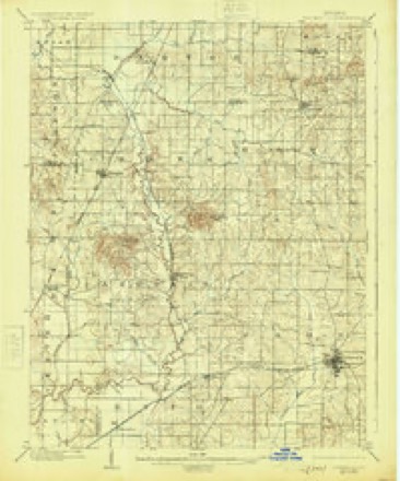
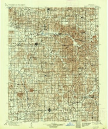
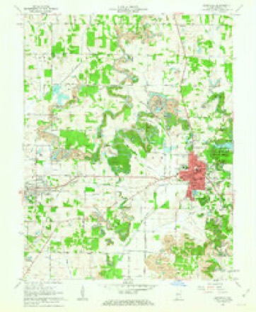
7 surveys from 19 printed sheetsMatched by testing this settlement's coordinate against the published boundary of every sheet in the United States Geological Survey's historical collection. Each opens the scanned sheet at the Survey.
- 1902 USGS Boonville quadrangle1:62500, 4 printings
- 1902 USGS Ditney quadrangle1:125000, 3 printings
- 1956 USGS Vincennes quadrangle1:250000, 4 printings
- 1957 USGS Vincennes quadrangle1:250000
- 1958 USGS Vincennes quadrangle1:250000, 2 printings
- 1961 USGS Boonville quadrangle1:24000, 3 printings
- 1986 USGS Princeton quadrangle1:100000, 2 printings




In the county-history sources
62 words on this townshipWarrick and Its Prominent People : a History of Warrick County, Indiana, from the Time of Its Organization and Settlement, with Biographical Sketches of Some of Its Prominent People of the Past and Present, published 1881 has no passage naming this settlement, which was common for smaller places. Its township is covered in full.
The chapter on Ohio Township covers the township.
Read the chapter on Ohio Township - 62 words.
Storms near this place
28 since 1996Regional context, not property-specific evidence. The National Weather Service names Chandler in 28 storm reports between 1996 and 2024: 13 thunderstorm wind, 6 hail, 3 flash flood, 2 flood. No death or injury is recorded in these reports. Each account below is quoted exactly as the forecast office filed it, from the NOAA Storm Events Database, and each date opens the federal record of that event.
| When | Event | Place named | Harm | What the report says |
|---|---|---|---|---|
| May 1996 | Flash Flood | Chandler | $200,000 | no account filed |
| May 2004 | Thunderstorm Wind | Chandler | $150,000 | Numerous trees and power lines were down. Some cars, homes, and outbuildings were damaged either directly by wind or by trees falling on them. At least one vehicle was heavily damaged due to falling trees. Roofs were partially blown off, and attached car ports were blown off. A carport was blown 40 feet up into a tree. A barn was destroyed. The damage area was about 5.5 miles long and .6 mile wide, concentrated mainly on the southern end of Chandler. A National Weather Service site survey determined that macroburst winds of around 110 MPH caused the damage. |
| April 2024 | Tornado (EF1) | Chandler | $75,000 | An EF-1 tornado touched down west of IN-261, and then impacted a residential area south of Hunter Rd. Three homes suffered substantial damage to their roofs. The tornado continued east-southeast to S. Center Rd before lifting just east of there. Hundreds of trees were either snapped or uprooted in the path. This survey was completed in partnership with Vanderburgh County and Warrick County Emergency Management Agencies. Estimated peak winds were 95 mph. |
| July 2024 | Thunderstorm Wind | Chandler | $15,000 | Tree damage occurred in the Castle Garden and Chandler area. Corn was blown over and a few metal pieces were thrown from structures. |
| June 2023 | Thunderstorm Wind | Chandler | $10,000 | A one-foot diameter persimmon tree fell onto a detached garage on the south side of Chandler. |
| June 2000 | Thunderstorm Wind | Chandler | $10,000 | Several trees were down in both Chandler and Boonville. |
| July 2022 | Thunderstorm Wind | Chandler | $5,000 | Tree limbs were down on power lines in Chandler and near Newburgh. |
| July 2012 | Thunderstorm Wind | Chandler | $5,000 | Tree limbs were blown down. Power was out at a few homes. |
| September 2012 | Thunderstorm Wind | Chandler | $5,000 | Several small trees were blown down on Highway 62. |
| June 1999 | Thunderstorm Wind | Chandler | $5,000 | Trees were down. |
| November 1998 | Thunderstorm Wind | Chandler | $5,000 | A wind gust to 70 MPH downed power poles and trees. |
| May 1998 | Thunderstorm Wind | Chandler | $5,000 | A few trees were down across a road. |
| October 2013 | Thunderstorm Wind | Chandler | $2,000 | Tree limbs were blown down in Chandler. A tree was down across Highway 61 between Lynnville and Boonville. |
| July 2013 | Heavy Rain | Chandler | - | Evening thunderstorms with torrential rain produced 4.68 inches of rainfall. One inch of rain fell in 15 minutes. Water was over several secondary roadways. |
| January 2013 | Flood | Chandler | - | The 24-hour rainfall total was 3.41 inches. Most of this rain fell on the evening of the 12th. Some low-lying side roads were flooded northwest of Chandler, mainly due to flooding of Pigeon Creek. |
| September 2009 | Flash Flood | Chandler | - | One inch of rain was measured in 15 minutes at Chandler. A CoCoRahs (Community Collaborative Rain, Hail, and Snow) Network observer reported a 24-hour total of 2.45 inches several miles west of Chandler. Flooding was reported in both Newburgh and Chandler. The ground was already very moist from between 1 and 2 inches of rain that fell the previous day. |
| January 2008 | Funnel Cloud | Chandler | - | The funnel cloud was reported along Highway 66 and Edwards St. |
| May 2005 | Heavy Rain | Chandler | - | Two inches of water was over Highway 62 in a few places. Some minor urban flooding was reported in Boonville. |
| October 2001 | Thunderstorm Wind | Chandler | - | Several trees were down between Chandler and Paradise. |
| August 1997 | Flood | Chandler | - | Thunderstorms with heavy rain caused some roads across the county to flood. No reports of road closures or stranded motorists were received. |
| January 2012 | Thunderstorm Wind | Chandler | - | no account filed |
| July 2012 | Hail | Chandler | - | no account filed |
| October 2010 | Hail | Chandler | - | no account filed |
| April 2006 | Hail | Chandler | - | no account filed |
| July 2004 | Hail | Chandler | - | no account filed |
| May 2003 | Hail | Chandler | - | no account filed |
| February 1996 | Hail | Chandler | - | no account filed |
| May 1996 | Flash Flood | Chandler | - | no account filed |
Nearest settlements
The eight closest, with where each one stands in the county. Distances are straight-line, computed from the Geographic Names Information System coordinates.
| Map | Place | Distance | Sheets |
|---|---|---|---|
| Center | 1.4 miles | 19 | |
| Castle Garden | 1.9 miles | 20 | |
| Baugh City | 2.4 miles | 20 | |
| Paradise | 3.2 miles | 16 | |
| Stevenson | 3.9 miles | 20 | |
| Millersburg | 4.2 miles | 20 | |
| Fisherville | 4.6 miles | 20 | |
| Boonville | 5.0 miles | 19 |
Elsewhere
Matched on this settlement's Geographic Names Information System number rather than its name, so it cannot be a different place of the same name in another state.
| Wikipedia article on Chandler | An encyclopaedic summary. Its text is share-alike, so it is linked here rather than copied. |
| Wikidata item Q3292351 | The structured record the population and elevation above come from. Public domain (CC0). |
Provenance
This settlement is recorded in the Geographic Names Information System as feature 432395. The sheet list is computed by point-in-boundary test against the United States Geological Survey's historical topographic inventory. Both are works of the United States government and carry no copyright under 17 U.S.C. 105.
Storms. NOAA National Centers for Environmental Information, Storm Events Database https://www.ncei.noaa.gov/stormevents/ A work of the United States government, no copyright under 17 U.S.C. 105. Narratives are quoted verbatim from the National Weather Service report and are not edited or summarised.