 Block
Pence, Indiana
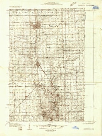
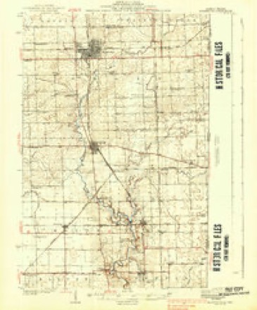
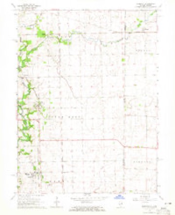
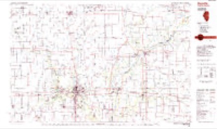
13 topographic sheets cover this place, the earliest surveyed in 1933 and the latest in 1987. It stands in Jordan Township. It lies in ZIP code area 47993. It stands on Little Creek. The Survey maps it on the Bismarck quadrangle. 41 people lived here at the 2020 count. It stands 699 feet above sea level.
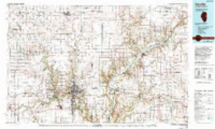
Topographic sheets covering this place
8 surveys from 13 printed sheetsMatched by testing this settlement's coordinate against the published boundary of every sheet in the United States Geological Survey's historical collection. Each opens the scanned sheet at the Survey.
- 1933 USGS Hoopeston quadrangle1:48000
- 1938 USGS Hoopeston quadrangle1:62500, 3 printings
- 1953 USGS Danville quadrangle1:250000, 3 printings
- 1955 USGS Danville quadrangle1:250000
- 1956 USGS Danville quadrangle1:250000
- 1964 USGS Bismarck quadrangle1:24000, 2 printings
- 1984 USGS Danville quadrangle1:100000
- 1987 USGS Danville quadrangle1:100000



In the county-history sources
76,744 words on this townshipCounties of Warren, Benton, Jasper and Newton, Indiana : Historical and Biographical, published 1883 names this settlement in its chapter on Jordan Township. These are the passages that mention it, exactly as the scans read.
Until 1873, county examiners were appointed by the Commissioners; since that time County Superintendents have been elected by the united board of Township Trustees. The first examiner appointed was Nathaniel West who served from June 8, 1861, to 1864. He was followed by W. C. Rose, from 1864 to 1865: J. M. Nelson, from 1864 to 1865; 0. P. Hervey, from 1865 to 1868 ; D. M. Graves, from 1868 to December 8, 1870, when J. B. Smith was appointed to fill the vacancy to June, 1871. The first Superintendent was J. H. Merchant, who served until 1873, and was followed by B. F. Niesz, from 1873 to 1875; D. S. Pence, from 1875 to 1877 ; R. F. Kerr, from 1877 to 1878, when he resigned to go to Japan. Pierce Archibald was appointed to fill the vacancy until May 1, 1879, when W. II. Hershman was elected, and has continued to the present. The following statement covering the period from 1877 to 1882 gives an outline of the growth of educational interests:
Passage source: Counties of Warren, Benton, Jasper and Newton, Indiana : Historical and Biographical, published 1883.
there was one child - Abner. James subsequently moved to Bartholomew County, Ind.. and in 1828 came to this county, where he died March 12, 18.51. He was a pioneer of Warren County, and an extensive land owner. His wife lived with her children until her death, June IT. 1872. Abner Goodwine was married in this county. October 30. 1851. to Miss Barbara J. Pence; born in Bartholomew County, Ind.. bctober 19. 1830; and a daughter of George and Mary Pence. They have had twelve children - George (deceased), .Mar}' C, Newton C. Bell (deceased), Sarah E., Clara V.. Frank S., Olive. Nora. Cora. Leola J. and Harry M. Mr. Goodwine is a laro-jlaiid owujr and stock dealer. His farm is well improved; aad lie has a fine brick house.
Passage source: Counties of Warren, Benton, Jasper and Newton, Indiana : Historical and Biographical, published 1883.
Machine-read from a century-old scan, so expect the errors a machine makes: misspelled names, dropped words, stray characters.
Storms near this place
2 since 2012Regional context, not property-specific evidence. The National Weather Service names Pence in 2 storm reports between 2012 and 2017: 1 heavy rain, 1 hail. No death or injury is recorded in these reports. Each account below is quoted exactly as the forecast office filed it, from the NOAA Storm Events Database, and each date opens the federal record of that event.
| When | Event | Place named | Harm | What the report says |
|---|---|---|---|---|
| April 2017 | Hail | Pence | - | Hail lasted for 3 to 4 minutes followed by heavy rain. Scattered hail was still on the ground at 9:20 AM EDT. |
| June 2012 | Heavy Rain | Pence | - | A 24-hour rainfall of 3.36 inches was measured in this location. |
Nearest settlements
The eight closest, with where each one stands in the county. Distances are straight-line, computed from the Geographic Names Information System coordinates.
| Map | Place | Distance | Sheets |
|---|---|---|---|
| Stewart | 2.1 miles | 9 | |
| Tab | 4.0 miles | 11 | |
| Sycamore Corner | 4.1 miles | 9 | |
| Hedrick | 4.2 miles | 9 | |
| Sloan | 4.5 miles | 9 | |
| Judyville | 6.2 miles | 9 | |
| Powley Corners | 8.0 miles | 12 | |
| Marshfield | 8.3 miles | 11 |
Elsewhere
Matched on this settlement's Geographic Names Information System number rather than its name, so it cannot be a different place of the same name in another state.
| Wikipedia article on Pence | An encyclopaedic summary. Its text is share-alike, so it is linked here rather than copied. |
| Wikidata item Q3374641 | The structured record the population and elevation above come from. Public domain (CC0). |
Provenance
This settlement is recorded in the Geographic Names Information System as feature 440987. The sheet list is computed by point-in-boundary test against the United States Geological Survey's historical topographic inventory. Both are works of the United States government and carry no copyright under 17 U.S.C. 105.
Storms. NOAA National Centers for Environmental Information, Storm Events Database https://www.ncei.noaa.gov/stormevents/ A work of the United States government, no copyright under 17 U.S.C. 105. Narratives are quoted verbatim from the National Weather Service report and are not edited or summarised.