 Block
Pueblo, Indiana
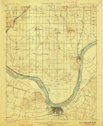
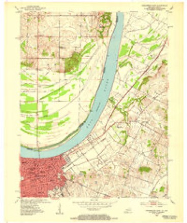
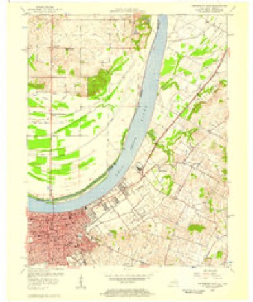
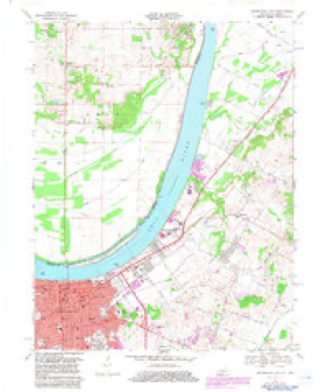
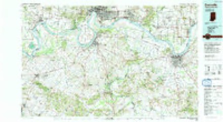
18 topographic sheets cover this place, the earliest surveyed in 1901 and the latest in 1991. It stands in Ohio Township. It lies in ZIP code area 47635. The Survey maps it on the Owensboro East quadrangle.
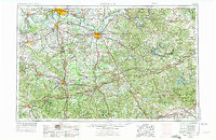
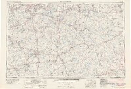
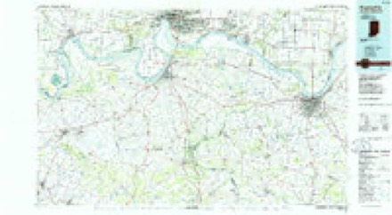
Topographic sheets covering this place
9 surveys from 18 printed sheetsMatched by testing this settlement's coordinate against the published boundary of every sheet in the United States Geological Survey's historical collection. Each opens the scanned sheet at the Survey.
- 1901 USGS Owensboro quadrangle1:62500, 5 printings
- 1952 USGS Owensboro East quadrangle1:24000
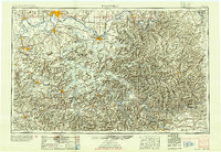
- 1954 USGS Evansville quadrangle1:250000
- 1956 USGS Owensboro East quadrangle1:24000
- 1957 USGS Evansville quadrangle1:250000, 3 printings
- 1961 USGS Evansville quadrangle1:250000, 2 printings
- 1967 USGS Owensboro East quadrangle1:24000, 3 printings
- 1986 USGS Evansville quadrangle1:100000
- 1991 USGS Evansville quadrangle1:100000
Mines and quarries near this place
3 within 5 milesRegional context, not property-specific evidence. The federal mineral resources record lists 3 workings within 5 miles of Pueblo: 3 producers. All of them still produce. What was taken out: Sand and Gravel, Construction. Distance is straight-line from the map coordinates, so a quarry counted here may appear on a neighbouring settlement's page as well.
| Where | Site | Commodity | Status | Recorded |
|---|---|---|---|---|
| Daviess County Dredge | Sand and Gravel, Construction | Producer | ||
| No. 9 Dredge | Sand and Gravel, Construction | Producer | ||
| W. L. Delker Dredge | Sand and Gravel, Construction | Producer |
Storms near this place
4 since 2015Regional context, not property-specific evidence. The National Weather Service names Pueblo in 4 storm reports between 2015 and 2025: 3 flood, 1 tornado. No death or injury is recorded in these reports. Each account below is quoted exactly as the forecast office filed it, from the NOAA Storm Events Database, and each date opens the federal record of that event.
| When | Event | Place named | Harm | What the report says |
|---|---|---|---|---|
| March 2018 | Flood | Pueblo | $200,000 | Moderate flooding continued along the Ohio River from late February. The flood crest in neighboring Warrick County was the highest since the March, 1997 flood. Numerous roads were closed for days at a time, including at least 50 county roads. U.S. Route 231 north of Rockport was affected by high water, along with a few other state highways. The town of Grandview in Spencer County was hardest hit, where some residents evacuated. |
| February 2018 | Flood | Pueblo | $80,000 | Moderate flooding occurred along the Ohio River. The flood crest in neighboring Warrick County was the highest since the March, 1997 flood. Numerous roads were closed for days at a time, including at least 50 county roads. U.S. Route 231 north of Rockport was affected by high water, along with a few other state highways. The town of Grandview in Spencer County was hardest hit, where some residents evacuated. |
| December 2015 | Tornado (EF0) | Pueblo | $3,000 | This weak tornado crossed Indiana Highway 161 just a few miles across the Ohio River from Owensboro, Kentucky. The tornado tracked along West County Road 560S to West County Road 440S. Several tree tops were broken, and a 12-inch tree was snapped. Numerous small tree limbs were broken. Peak winds were estimated near 75 mph. |
| February 2025 | Flood | Pueblo | - | Minor flooding of agriculture land and surrounding low-lying areas occurred near Owensboro. The river briefly reached the moderate flood level of 44 feet on the 21st into the 22nd. |
Nearest settlements
The eight closest, with where each one stands in the county. Distances are straight-line, computed from the Geographic Names Information System coordinates.
| Map | Place | Distance | Sheets |
|---|---|---|---|
| Africa | 2.2 miles | 18 | |
| Patronville | 2.2 miles | 18 | |
| Spencer County Farm | 3.2 miles | 18 | |
| Enterprise | 4.0 miles | 19 | |
| Lincoln Pioneer Village | 4.6 miles | 17 | |
| Rockport | 5.1 miles | 17 | |
| Reo | 5.2 miles | 17 | |
| Sand Ridge | 6.1 miles | 16 |
Provenance
This settlement is recorded in the Geographic Names Information System as feature 441632. The sheet list is computed by point-in-boundary test against the United States Geological Survey's historical topographic inventory. Both are works of the United States government and carry no copyright under 17 U.S.C. 105.
Mines and quarries. USGS Mineral Resources Data System (MRDS) https://mrdata.usgs.gov/mrds/ A work of the United States government, no copyright under 17 U.S.C. 105.
Storms. NOAA National Centers for Environmental Information, Storm Events Database https://www.ncei.noaa.gov/stormevents/ A work of the United States government, no copyright under 17 U.S.C. 105. Narratives are quoted verbatim from the National Weather Service report and are not edited or summarised.