 Block
Rays Crossing, Indiana
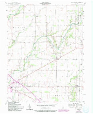
11 topographic sheets cover this place, the earliest surveyed in 1953 and the latest in 1986. It stands in Union Township. It lies in ZIP code area 46176. The Survey maps it on the Rays Crossing quadrangle.
Topographic sheets covering this place
4 surveys from 11 printed sheetsMatched by testing this settlement's coordinate against the published boundary of every sheet in the United States Geological Survey's historical collection. Each opens the scanned sheet at the Survey.
- 1953 USGS Cincinnati quadrangle1:250000, 3 printings
- 1956 USGS Rays Crossing quadrangle1:24000, 5 printings
- 1957 USGS Cincinnati quadrangle1:250000
- 1986 USGS New Castle quadrangle1:100000, 2 printings



In the county-history sources
2,241 words on this townshipHistory of Shelby County, Indiana : from the Earliest Time to the Present, with Biographical Sketches, Notes, Etc., Together with a Short History of the Northwest, the Indiana Territory, and the State of Indiana, published 1887 has no passage naming this settlement, which was common for smaller places. Its township is covered in full.
The chapter on Union Township covers the township.
Read the chapter on Union Township - 2,241 words.
Nearest settlements
The eight closest, with where each one stands in the county. Distances are straight-line, computed from the Geographic Names Information System coordinates.
| Map | Place | Distance | Sheets |
|---|---|---|---|
| Meltzer | 2.5 miles | 11 | |
| Blue Ridge | 3.0 miles | 11 | |
| Knighthood Village | 4.2 miles | 11 | |
| Meiks | 4.3 miles | 12 | |
| Knighthood Grove | 4.6 miles | 12 | |
| Brent Woods | 4.8 miles | 12 | |
| Marion | 5.2 miles | 12 | |
| Walkerville | 5.3 miles | 12 |
Provenance
This settlement is recorded in the Geographic Names Information System as feature 441801. The sheet list is computed by point-in-boundary test against the United States Geological Survey's historical topographic inventory. Both are works of the United States government and carry no copyright under 17 U.S.C. 105.