 Block
Rockford, Indiana
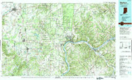
10 topographic sheets cover this place, the earliest surveyed in 1956 and the latest in 1990. It stands in Redding Township. It lies in ZIP code area 47274. It stands on Thompson Slough. The Survey maps it on the Seymour quadrangle. It stands 604 feet above sea level.
Topographic sheets covering this place
5 surveys from 10 printed sheetsMatched by testing this settlement's coordinate against the published boundary of every sheet in the United States Geological Survey's historical collection. Each opens the scanned sheet at the Survey.
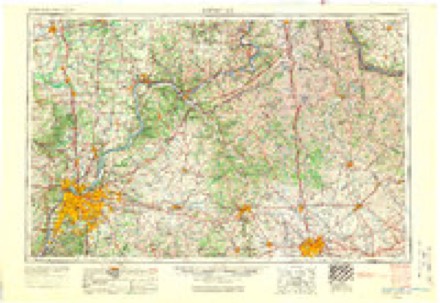
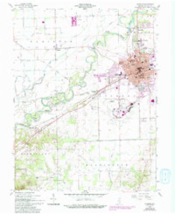
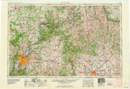
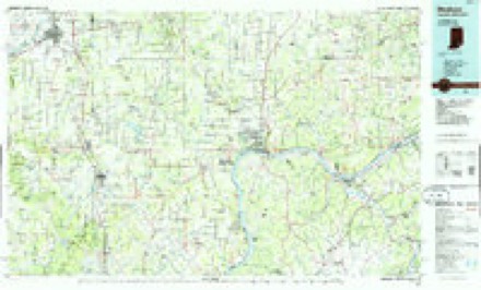
- 1956 USGS Louisville quadrangle1:250000, 2 printings
- 1958 USGS Seymour quadrangle1:24000, 5 printings
- 1964 USGS Louisville quadrangle1:250000
- 1986 USGS Madison quadrangle1:100000
- 1990 USGS Madison quadrangle1:100000
Storms near this place
18 since 2006Regional context, not property-specific evidence. The National Weather Service names Rockford in 18 storm reports between 2006 and 2026: 14 flood, 1 flash flood, 1 tornado, 1 hail. The reports record 2 deaths and 6 injuries. Each account below is quoted exactly as the forecast office filed it, from the NOAA Storm Events Database, and each date opens the federal record of that event.
| When | Event | Place named | Harm | What the report says |
|---|---|---|---|---|
| March 2006 | Flood | Rockford | 1 killed, $100,000 | no account filed |
| March 2026 | Flood | Rockford | 1 killed, $70,000 | River flooding in northeastern Jackson County was exasperated locally by heavy rainfall during the overnight of the 4th-5th around 2.00 inches, with the East Fork White River later cresting at Seymour in major flood stage on the 5th evening. On the 6th morning around 700EST, a man in an airboat near Courtland, while attempting to rescue individuals stranded in a submerged vehicle, died after the boat experienced mechanical issues, capsized, and was swept under a bridge. |
| February 2008 | Flood | Rockford | 6 hurt, $15,000 | Flooding occurred along the East Fork White River in Jackson County, including near Seymour, due to heavy rain and snow melt. A family of six was rescued from the flooded East Fork White River near County Road 150 East. The family was taken to the medical center in Seymour for medical treatment after the incident. |
| March 2008 | Flood | Rockford | $50,000 | Flooding occurred along the East Fork White River in Jackson County, including near Seymour and Rockford, due to heavy rain. Flooding forced some families from their homes. Minor damage also occurred to roads. Two vehicles drove into flooded waters. No injuries were reported. Multiple roads were flooded near the river. |
| April 2011 | Tornado (EF0) | Rockford | $30,000 | In conjuction with the Jackson County Emergency Management Agency, the National Weather Service has determined a tornado struck Jackson County about 135 AM EDT Saturday morning. This tornado was rated as an EF-0, which means it had peak wind speeds of 65 to 85 mph. It first touched down near the intersection of State Road 11 and County Road 700 North, about 2 miles north of Seymour. It tracked east southeast on a hit skip path for about 4 miles. It left the ground for good approximately 3.5 miles east northeast of Seymour, or a half mile east of the intersection between US Highway 31 and Fleming Road. This tornado was about 100 feet across. It caused no deaths or injuries. There were several instances of structural damage, including at least one home losing part of its roof and a room damaged. |
| March 2008 | Flood | Rockford | $12,000 | Flooding occurred along the East Fork White River in Jackson County, including near Rockford and Seymour, due to heavy rain. Flooding continued until April 3rd at 20:13. |
| January 2008 | Flood | Rockford | $10,000 | Flooding occurred along the East Fork White River in Jackson County, including near Rockford and Seymour, due to heavy rain and snow melt. |
| March 2008 | Flood | Rockford | $10,000 | Flooding occurred along the East Fork White River in Jackson County, including near Rockford and Seymour, due to heavy rain and snow melt. |
| April 2008 | Flood | Rockford | $5,000 | Flooding occurred along the East Fork White River in Jackson County, including near Rockford and Seymour, due to heavy rain. |
| February 2008 | Flash Flood | Rockford | $5,000 | Firefighters encountered flash flooding on County Road 800 North and Indiana 258 between Cortland and Acme due to heavy rain. Jackson County Sheriff's Department reported water was across Indiana 250 between Dudleytown and Uniontown, Indiana 258 between Seymour and Cordland, Indiana 235 near Medora, Newford Road, 875 North and 200 East in Hamilton Township, 700 North and 1200 East in Redding Township, 5000 block of 125 East , 725 North past the river, Slab Road in Brownstown Township, 600 South, 700 East, 250 North east of 225 West, 5000 block of 525 North, and Base Line Road south of 300 North. |
| April 2008 | Flood | Rockford | $5,000 | Flooding occurred along the East Fork White River in Jackson County, including near Rockford and Seymour, due to heavy rain. |
| May 2008 | Flood | Rockford | $5,000 | Flooding occurred along the East Fork White River in Jackson County, including near Rockford and Seymour, due to heavy rain. |
| April 2026 | Thunderstorm Wind | Rockford | - | A 60 mph thunderstorm wind gust was measured by the public. |
| June 2009 | Flood | Rockford | - | Significant agricultural lands flooded along the East Fork White River in/near Rockford, Indiana. The river crested 0.3 feet above flood stage on June 14th at a reading of 12.3 feet. Damage costs are grossly estimated. |
| December 2008 | Flood | Rockford | - | Rainfall and warm temperatures that occurred on and off during the second half of December led to flooding of lowlands on the East Fork White River during late December, affecting Jackson County at and near Rockford/Seymour. |
| April 2008 | Flood | Rockford | - | Flooding occurred along the East Fork White River in Jackson County, including near Rockford and Seymour, due to heavy rain. This flooding is a continuation from flooding that began on March 27th at 1300. March flood damage estimates are around twelve thousand dollars. |
| December 2008 | Flood | Rockford | - | Rainfall and warm temperatures that occurred on and off during the second half of December led to very brief and minor flooding of lowlands on the East Fork White River at the end of December, affecting Jackson County at and near Seymour/Rockford. |
| June 2021 | Hail | Rockford | - | no account filed |
Nearest settlements
The eight closest, with where each one stands in the county. Distances are straight-line, computed from the Geographic Names Information System coordinates.
| Map | Place | Distance | Sheets |
|---|---|---|---|
| Sunset Parkway | 1.8 miles | 10 | |
| Seymour | 1.9 miles | 10 | |
| Peters Switch | 2.4 miles | 13 | |
| Little Acre | 3.4 miles | 13 | |
| Hangman Crossing | 3.6 miles | 10 | |
| Bobtown | 3.7 miles | 13 | |
| Cortland | 4.0 miles | 10 | |
| Reddington | 4.4 miles | 11 |
Elsewhere
Matched on this settlement's Geographic Names Information System number rather than its name, so it cannot be a different place of the same name in another state.
| Wikipedia article on Rockford | An encyclopaedic summary. Its text is share-alike, so it is linked here rather than copied. |
| Wikidata item Q7355226 | The structured record the population and elevation above come from. Public domain (CC0). |
Provenance
This settlement is recorded in the Geographic Names Information System as feature 442218. The sheet list is computed by point-in-boundary test against the United States Geological Survey's historical topographic inventory. Both are works of the United States government and carry no copyright under 17 U.S.C. 105.
Storms. NOAA National Centers for Environmental Information, Storm Events Database https://www.ncei.noaa.gov/stormevents/ A work of the United States government, no copyright under 17 U.S.C. 105. Narratives are quoted verbatim from the National Weather Service report and are not edited or summarised.