 Block
Smithland, Indiana
14 topographic sheets cover this place, the earliest surveyed in 1942 and the latest in 1986. It stands in Hendricks Township. It lies in ZIP code area 46176. It lies near McCrea Hill. The Survey maps it on the Lewis Creek quadrangle.
Topographic sheets covering this place
7 surveys from 14 printed sheetsMatched by testing this settlement's coordinate against the published boundary of every sheet in the United States Geological Survey's historical collection. Each opens the scanned sheet at the Survey.
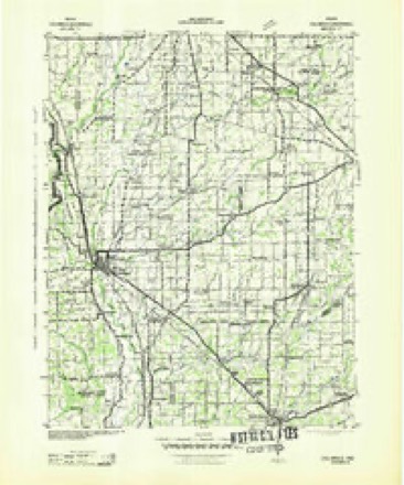
- 1942 USGS Columbus quadrangle1:125000
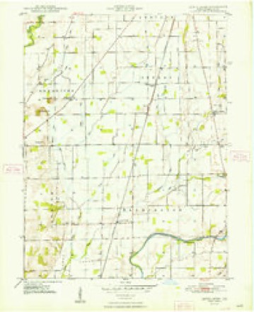
- 1948 USGS Lewis Creek quadrangle1:24000, 2 printings
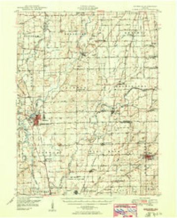
- 1950 USGS Edinburg quadrangle1:62500, 2 printings
- 1953 USGS Cincinnati quadrangle1:250000, 3 printings
- 1957 USGS Cincinnati quadrangle1:250000
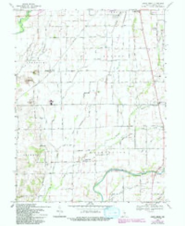
- 1968 USGS Lewis Creek quadrangle1:24000, 3 printings
- 1986 USGS Greensburg quadrangle1:100000, 2 printings



Storms near this place
6 since 1995Regional context, not property-specific evidence. The National Weather Service names Smithland in 6 storm reports between 1995 and 2025: 5 thunderstorm wind, 1 flash flood. No death or injury is recorded in these reports. Each account below is quoted exactly as the forecast office filed it, from the NOAA Storm Events Database, and each date opens the federal record of that event.
| When | Event | Place named | Harm | What the report says |
|---|---|---|---|---|
| April 2025 | Flash Flood | Smithland | $50,000 | Near record flooding occurred on the Big Blue River near Shelbyville with numerous roads closed during the overnight hours due to flash flooding. Total rainfall ranged from 3.1 to 3.6 inches. |
| June 2018 | Thunderstorm Wind | Smithland | $25,000 | Trees and power lines were downed due to damaging thunderstorm wind gusts. There was also some structural damage to a barn, with some of the debris from the barn laying on three vehicles. |
| June 2016 | Thunderstorm Wind | Smithland | $15,000 | Four trees were downed and roofs were off of barns near County Road 500 South and Smithland Road due to damaging thunderstorm wind gusts. |
| January 2013 | Thunderstorm Wind | Smithland | $10,000 | County sheriff reported damage to the porch of a house due to damaging thunderstorm wind gusts. There is also possible damage to the main house structure. |
| May 2018 | Thunderstorm Wind | Smithland | $5,000 | Several trees were blown down along West County Road 100 South between South County Road 300 West and South County Road 500 West, near Spring Lake due to damaging thunderstorm wind gusts. |
| June 1995 | Thunderstorm Wind | Smithland | $2,000 | Trees and power lines were downed. |
Nearest settlements
The eight closest, with where each one stands in the county. Distances are straight-line, computed from the Geographic Names Information System coordinates.
| Map | Place | Distance | Sheets |
|---|---|---|---|
| Marietta | 2.4 miles | 16 | |
| Fenns | 2.6 miles | 14 | |
| Bengal | 4.1 miles | 16 | |
| Lewis Creek | 4.4 miles | 14 | |
| Wilson Corner | 5.1 miles | 14 | |
| Riley Village | 5.2 miles | 12 | |
| Mount Auburn | 5.3 miles | 16 | |
| Lantana Estate | 5.4 miles | 12 |
Provenance
This settlement is recorded in the Geographic Names Information System as feature 443707. The sheet list is computed by point-in-boundary test against the United States Geological Survey's historical topographic inventory. Both are works of the United States government and carry no copyright under 17 U.S.C. 105.
Storms. NOAA National Centers for Environmental Information, Storm Events Database https://www.ncei.noaa.gov/stormevents/ A work of the United States government, no copyright under 17 U.S.C. 105. Narratives are quoted verbatim from the National Weather Service report and are not edited or summarised.