 Block
Speedway, Indiana
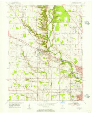
16 topographic sheets cover this place, the earliest surveyed in 1953 and the latest in 1998. It stands in Wayne Township. It lies in ZIP code area 46224. It stands on Dell Wood Brook. The Survey maps it on the Clermont quadrangle.
On record in Speedway
Buildings and businesses the archive holds for this place. Each opens its own page, with the source record it came from.
On the National Register 2 records
 Indianapolis Motor SpeedwayNational Historic Landmark · listed 1975
 Speedway Historic Districtlisted 2005
Topographic sheets covering this place
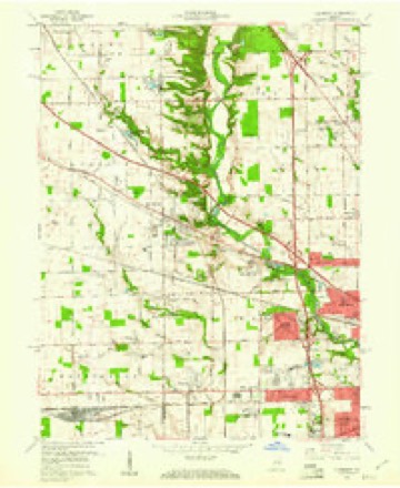
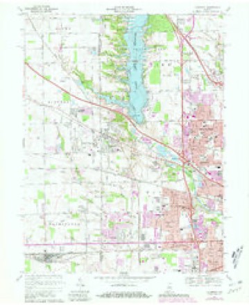
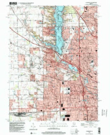
9 surveys from 16 printed sheetsMatched by testing this settlement's coordinate against the published boundary of every sheet in the United States Geological Survey's historical collection. Each opens the scanned sheet at the Survey.
- 1953 USGS Clermont quadrangle1:24000
- 1953 USGS Indianapolis quadrangle1:250000, 4 printings
- 1956 USGS Indianapolis quadrangle1:250000
- 1957 USGS Indianapolis quadrangle1:250000, 2 printings
- 1959 USGS Clermont quadrangle1:24000
- 1962 USGS Indianapolis quadrangle1:250000
- 1967 USGS Clermont quadrangle1:24000, 3 printings
- 1986 USGS Indianapolis quadrangle1:100000, 2 printings
- 1998 USGS Clermont quadrangle1:24000





In the county-history sources
12,230 words on this townshipHistory of Indianapolis and Marion County, Indiana, published 1884 has no passage naming this settlement, which was common for smaller places. Its township is covered in full.
The chapter on Wayne Township covers the township.
Read the chapter on Wayne Township - 12,230 words.
Storms near this place
42 since 1996Regional context, not property-specific evidence. The National Weather Service names Speedway in 42 storm reports between 1996 and 2025: 26 thunderstorm wind, 12 hail, 2 lightning, 2 flash flood. The reports record 1 death. Each account below is quoted exactly as the forecast office filed it, from the NOAA Storm Events Database, and each date opens the federal record of that event.
| When | Event | Place named | Harm | What the report says |
|---|---|---|---|---|
| July 2001 | Lightning | Speedway | 1 killed | no account filed |
| July 2015 | Thunderstorm Wind | Speedway | $40,000 | Numerous trees were down, with several on vehicles, due to damaging thunderstorm wind gusts. Significant tree damage was reported at Crawfordsville Road and Lynhurst Drive. Damage was also reported from Gerrard and 21st Streets. |
| July 2015 | Thunderstorm Wind | Speedway | $30,000 | Indiana Department of Homeland Security called reporting trees down, power lines down, and damage to homes from around 10th and Tibbs Streets to Meridian Street and Thompson Road due to damaging thunderstorm wind gusts. |
| January 2008 | Thunderstorm Wind | Speedway | $25,000 | Damaging thunderstorm winds caused trees to fall and also caused heavy damage to a building. |
| July 2003 | Thunderstorm Wind | Speedway | $20,000 | Damage to homes and numerous trees down |
| July 2015 | Thunderstorm Wind | Speedway | $10,000 | Several large trees were downed at 10th Street near Interstate 465 due to damaging thunderstorm wind gusts. |
| July 2015 | Flash Flood | Speedway | $5,000 | Portions of 16th Street was flooded between the Indianapolis Motor Speedway and Downtown Indianapolis due to heavy thunderstorm rainfall. This report was relayed by a WISH-TV meteorologist. |
| July 2014 | Thunderstorm Wind | Speedway | $5,000 | WISH-TV relayed a report of trees down at 10th and Lynhurst Drive, due to damaging thunderstorm wind gusts. |
| April 2006 | Thunderstorm Wind | Speedway | $5,000 | Minor roof damage was done to the Indianapolis weather forecast office. |
| July 2020 | Thunderstorm Wind | Speedway | $3,000 | Two windows and a window frame blown in by thunderstorm wind gusts. |
| May 2018 | Thunderstorm Wind | Speedway | $3,000 | A large tree was blown over, snapping below ground level, and tree branches were blown down just northwest of Crawfordsville Road and North Lynhurst Drive due to damaging thunderstorm wind gusts. There was damage to a carport support beam that was apparently caused by one of the fallen tree branches. |
| July 2015 | Thunderstorm Wind | Speedway | $3,000 | Multiple reports of tree limbs down around Speedway due to damaging thunderstorm wind gusts. |
| June 2009 | Thunderstorm Wind | Speedway | $3,000 | Trees were downed due to thunderstorm wind gusts on the west side of Indianapolis at West 21st Street and Girls School Road. |
| April 2025 | Thunderstorm Wind | Speedway | $2,000 | A large tree was downed by thunderstorm wind gusts onto a street. |
| June 2025 | Thunderstorm Wind | Speedway | $2,000 | Thunderstorm wind gusts downed a 1.5 foot diameter limb from live walnut tree. |
| August 2011 | Thunderstorm Wind | Speedway | $1,500 | A long-time television weather spotter reported a large 100-year-old tree that had been blown over by thunderstorm wind gusts measured at 70 mph. Power was out in the neighborhood. |
| June 2023 | Thunderstorm Wind | Speedway | $1,000 | Thunderstorm winds caused tree damage that blocked Speedway Drive. |
| July 2015 | Thunderstorm Wind | Speedway | $1,000 | Utility lines were down near the intersection of 22nd Street and Fisher Avenue due to damaging thunderstorm wind gusts. The lines were blocking the road. |
| July 2015 | Flash Flood | Speedway | $1,000 | Street flooding of one foot deep was observed at the intersection of Winton Avenue and 22nd Street due to heavy thunderstorm rainfall. |
| October 2013 | Thunderstorm Wind | Speedway | - | A thunderstorm wind gust, measured at 62 mph, was observed in this location. The source of this report was an INDOT weather station. |
| September 2012 | Thunderstorm Wind | Speedway | - | An estimated 65 mph thunderstorm wind gust was observed in this location. The power was also reported to be out. |
| September 2012 | Hail | Speedway | - | Also, one and a half inches of rain was measured since 6:00 PM. |
| June 2009 | Thunderstorm Wind | Speedway | - | A thunderstorm wind gust estimated at 60 mph was observed on the west side of Indianapolis, along with nickel sized hail. |
| June 2013 | Hail | Speedway | - | no account filed |
| September 2012 | Hail | Speedway | - | no account filed |
| September 2012 | Hail | Speedway | - | no account filed |
| May 2011 | Hail | Speedway | - | no account filed |
| April 2007 | Hail | Speedway | - | no account filed |
| April 2007 | Hail | Speedway | - | no account filed |
| May 2003 | Thunderstorm Wind | Speedway | - | no account filed |
| July 2003 | Thunderstorm Wind | Speedway | - | no account filed |
| June 2002 | Thunderstorm Wind | Speedway | - | no account filed |
| June 2002 | Thunderstorm Wind | Speedway | - | no account filed |
| October 2001 | Hail | Speedway | - | no account filed |
| July 2001 | Lightning | Speedway | - | no account filed |
| October 2001 | Hail | Speedway | - | no account filed |
| August 2000 | Thunderstorm Wind | Speedway | - | no account filed |
| February 1999 | Hail | Speedway | - | no account filed |
| July 1999 | Hail | Speedway | - | no account filed |
| May 1999 | Thunderstorm Wind | Speedway | - | no account filed |
| June 1996 | Hail | Speedway | - | no account filed |
| July 1996 | Thunderstorm Wind | Speedway | - | no account filed |
Nearest settlements
The eight closest, with where each one stands in the county. Distances are straight-line, computed from the Geographic Names Information System coordinates.
| Map | Place | Distance | Sheets |
|---|---|---|---|
| Farleys Addition | 1.4 miles | 16 | |
| Chapel Hill | 2.0 miles | 16 | |
| Flackville | 2.5 miles | 19 | |
| Keystone Manor | 2.7 miles | 16 | |
| Clermont | 3.0 miles | 16 | |
| Snacks | 3.1 miles | 16 | |
| Lynhurst | 3.2 miles | 19 | |
| Westwood | 3.3 miles | 16 |
Provenance
This settlement is recorded in the Geographic Names Information System as feature 443930. The sheet list is computed by point-in-boundary test against the United States Geological Survey's historical topographic inventory. Both are works of the United States government and carry no copyright under 17 U.S.C. 105.
Storms. NOAA National Centers for Environmental Information, Storm Events Database https://www.ncei.noaa.gov/stormevents/ A work of the United States government, no copyright under 17 U.S.C. 105. Narratives are quoted verbatim from the National Weather Service report and are not edited or summarised.