 Block
Stone Bluff, Indiana
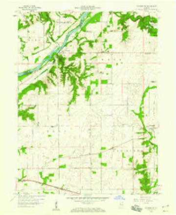
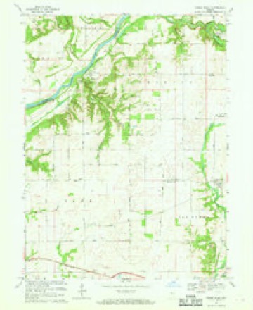
9 topographic sheets cover this place, the earliest surveyed in 1953 and the latest in 1987. It stands in Van Buren Township. It lies in ZIP code area 47987. The Survey maps it on the Stone Bluff quadrangle. It stands 623 feet above sea level.
Topographic sheets covering this place
7 surveys from 9 printed sheetsMatched by testing this settlement's coordinate against the published boundary of every sheet in the United States Geological Survey's historical collection. Each opens the scanned sheet at the Survey.
- 1953 USGS Danville quadrangle1:250000, 3 printings
- 1955 USGS Danville quadrangle1:250000
- 1956 USGS Danville quadrangle1:250000
- 1958 USGS Stonebluff quadrangle1:24000
- 1967 USGS Stone Bluff quadrangle1:24000
- 1984 USGS Danville quadrangle1:100000
- 1987 USGS Danville quadrangle1:100000



In the county-history sources
20,751 words on this townshipHistory of Fountain County : Together with Historic Notes on the Wabash Valley, Gleaned from Early Authors, Old Maps and Manuscripts, published 1881 names this settlement in its chapter on Van Buren Township. These are the passages that mention it, exactly as the scans read.
The second society of the United Brethren church holds its meetings in the Methodist Episcopal church at Sterling. This class proper is the one that formerly held its services in Chambersburg. It is prospecting for a new church building to be built in Veedersburg. The society is in an active working condition. The third society is at Stone Bluff. This society was organized at this place in 1860. The prominent members were Samuel Morgan and Francis Markham. The prosperity of the society has usually been good. It now has under progress of erection a new frame church 32x48, which, w lien completed, will be second to none in the township. The present trustees of this society are George Dice, Samuel Morgan, and John Simpson. It numbers fifty active members. The Sunday-school connected with the society is in a live condition.
Passage source: History of Fountain County : Together with Historic Notes on the Wabash Valley, Gleaned from Early Authors, Old Maps and Manuscripts, published 1881.
BIOGRAPHICAL. Henry Crane, farmer, Stone Bluff, was born in 1808, in the State of Ohio, and came to Indiana, settling on Osborn's prairie at a very early date. He is son of Jonathan Crane, whose biography will appear in this work. Henry was married in 1835 to Eliza A. Sharp, a native of Kentucky, by whom he had eight children : Jacob H., Lockey J. Kizah, Jonathan, George W., Joseph, Mary, and Jeptha. By the death of his wife eight motherless children and a loving husband were left to mourn the departure of a kind and exemplary mother and companion. Mr. Crane was married a second time, to Evaline Simernian, with whom he is now living. They have four children : James F., Elraira "William, and Franklin. Formerly he was a tanner by trade, which he pursued twelve years in Fountain county. He owns a fine farm, where '^'' he now resides, of 166 acres, and 177 acres of land in Illinois. He now has in progress of erection upon the former farm a fine frame dwellino'. In religion he is a firm believer in spiritualism, and is a member of the Progressive Friends Society in Van Buren township. Mr. Crane is one of the old settlers who came here in very limited circumstances when the country was a wilderness, and by close economy and great "i tenacity has been able to gather around him enough of this world's goods to make his old age comfortable and happy.
Passage source: History of Fountain County : Together with Historic Notes on the Wabash Valley, Gleaned from Early Authors, Old Maps and Manuscripts, published 1881.
M. was born in 1830, and was educated in the pioneer log school-house, and reared to fanning. He was married in 1864, to Amanda E. Mc- Clane, a native of Virginia, and daughter of Eobert and Jane McClane, early settlers of Fountain county. By this union there are six children : Euree, Joanna, Anna, Tabytha, Halford, and Edna. He and his wife are members of the United Brethren church at Stone Bluff. He was a volunteer in the late war, Co. H, 72d Ind. Vols. He began life for himself with a limited amount of tliis world's goods. He now lives on the farm settled by Judge Birch in 1823. It consists of 400 acres in good cultivation, well stocked. The railroad divides his farm into two parts. Mr. Meeker is a radical republican in politics. As a successful business man few excel him, nor is he less generous toward institutions which will increase the business interests of the country, or benefit society morally.
Passage source: History of Fountain County : Together with Historic Notes on the Wabash Valley, Gleaned from Early Authors, Old Maps and Manuscripts, published 1881.
Machine-read from a century-old scan, so expect the errors a machine makes: misspelled names, dropped words, stray characters.
Read the whole chapter on Van Buren Township - it names this place 7 more 7 times.
Mines and quarries near this place
2 within 5 milesRegional context, not property-specific evidence. The federal mineral resources record lists 2 workings within 5 miles of Stone Bluff: 2 unknowns. None of them still produces. What was taken out: Sand and Gravel, Construction. Distance is straight-line from the map coordinates, so a quarry counted here may appear on a neighbouring settlement's page as well.
| Where | Site | Commodity | Status | Recorded |
|---|---|---|---|---|
| C. A. Miller Gravel Pit | Sand and Gravel, Construction | Unknown | ||
| F. I. Mitchell Gravel Pit | Sand and Gravel, Construction | Unknown |
Nearest settlements
The eight closest, with where each one stands in the county. Distances are straight-line, computed from the Geographic Names Information System coordinates.
| Map | Place | Distance | Sheets |
|---|---|---|---|
| Hunter Corner | 0.5 miles | 9 | |
| Harrison Lake | 0.8 miles | 9 | |
| Simpson Corner | 2.0 miles | 9 | |
| Aylesworth | 2.3 miles | 9 | |
| Graham | 3.2 miles | 9 | |
| Stephens Crossing | 3.9 miles | 9 | |
| Veedersburg | 4.0 miles | 9 | |
| Rob Roy | 4.6 miles | 9 |
Elsewhere
Matched on this settlement's Geographic Names Information System number rather than its name, so it cannot be a different place of the same name in another state.
| Wikipedia article on Stone Bluff | An encyclopaedic summary. Its text is share-alike, so it is linked here rather than copied. |
| Wikidata item Q7618872 | The structured record the population and elevation above come from. Public domain (CC0). |
Provenance
This settlement is recorded in the Geographic Names Information System as feature 449735. The sheet list is computed by point-in-boundary test against the United States Geological Survey's historical topographic inventory. Both are works of the United States government and carry no copyright under 17 U.S.C. 105.
Mines and quarries. USGS Mineral Resources Data System (MRDS) https://mrdata.usgs.gov/mrds/ A work of the United States government, no copyright under 17 U.S.C. 105.