 Block
Talma, Indiana
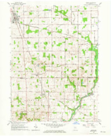
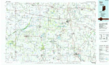
11 topographic sheets cover this place, the earliest surveyed in 1953 and the latest in 1984. It stands in Newcastle Township. It lies in ZIP code area 46975. It stands on Yellow Creek. The Survey maps it on the Argos quadrangle. It stands 774 feet above sea level.
Topographic sheets covering this place
4 surveys from 11 printed sheetsMatched by testing this settlement's coordinate against the published boundary of every sheet in the United States Geological Survey's historical collection. Each opens the scanned sheet at the Survey.
- 1953 USGS Chicago quadrangle1:250000, 5 printings
- 1957 USGS Chicago quadrangle1:250000
- 1962 USGS Argos quadrangle1:24000, 3 printings
- 1984 USGS Knox quadrangle1:100000, 2 printings


Storms near this place
8 since 1998Regional context, not property-specific evidence. The National Weather Service names Talma in 8 storm reports between 1998 and 2026: 6 hail, 1 thunderstorm wind, 1 flood. No death or injury is recorded in these reports. Each account below is quoted exactly as the forecast office filed it, from the NOAA Storm Events Database, and each date opens the federal record of that event.
| When | Event | Place named | Harm | What the report says |
|---|---|---|---|---|
| March 2009 | Flood | Talma | $200,000 | Numerous roads were flooded with standing water ranging from six inches to a few feet in depth. Flooding occurred along the Tippecanoe River which flows through the northern part of the county. Little Yellow Creek, which is fed by the Tippecanoe River, rose dramatically over a 24 hour period as rainfall amounts of 2 to 4 inches were observed. This high water resulted in a portion of County Road 825 East, north of County Road 600 North, being washed out, roughly 12 feet deep. The road gave way under a SUV that was traveling along the road. This SUV made it across, but a second SUV behind this first did not and got wedged in the opening. The father of the female driver attempted to rescue his daughter and 2 grandchildren, but was swept about 50 yards downstream before grabbing onto branch. He stood up in the water on a log for about 20 minutes and was rescued with no serious injuries. |
| April 2026 | Hail | Talma | - | Facebook report of nickel size hail in far northeast Fulton County southwest of Mentone. |
| June 2009 | Hail | Talma | - | Several reports were received at local television stations of hail ranging from pea size to larger than softballs. The hail fell for up to 20 minutes in some locations. |
| July 2006 | Thunderstorm Wind | Talma | - | Several large trees and tree limbs were blown down. |
| June 2008 | Hail | Talma | - | no account filed |
| June 2008 | Hail | Talma | - | no account filed |
| April 1999 | Hail | Talma | - | no account filed |
| June 1998 | Hail | Talma | - | no account filed |
Nearest settlements
The eight closest, with where each one stands in the county. Distances are straight-line, computed from the Geographic Names Information System coordinates.
| Map | Place | Distance | Sheets |
|---|---|---|---|
| Tiosa | 3.7 miles | 11 | |
| Athens | 6.9 miles | 11 | |
| Richland Center | 7.2 miles | 10 | |
| Rochester | 7.5 miles | 11 | |
| Big Hill | 8.2 miles | 11 | |
| Mount Zion | 9.7 miles | 11 | |
| Akron | 9.8 miles | 11 | |
| Pershing | 10.5 miles | 9 |
Elsewhere
Matched on this settlement's Geographic Names Information System number rather than its name, so it cannot be a different place of the same name in another state.
| Wikipedia article on Talma | An encyclopaedic summary. Its text is share-alike, so it is linked here rather than copied. |
| Wikidata item Q7680222 | The structured record the population and elevation above come from. Public domain (CC0). |
Provenance
This settlement is recorded in the Geographic Names Information System as feature 444555. The sheet list is computed by point-in-boundary test against the United States Geological Survey's historical topographic inventory. Both are works of the United States government and carry no copyright under 17 U.S.C. 105.
Storms. NOAA National Centers for Environmental Information, Storm Events Database https://www.ncei.noaa.gov/stormevents/ A work of the United States government, no copyright under 17 U.S.C. 105. Narratives are quoted verbatim from the National Weather Service report and are not edited or summarised.