 Block
Willis, Indiana
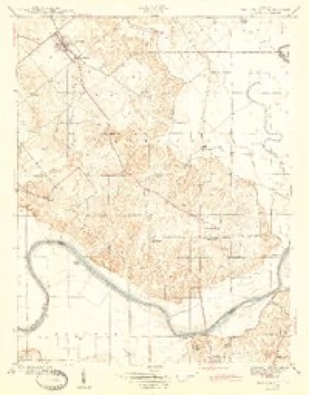
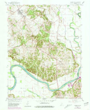
13 topographic sheets cover this place, the earliest surveyed in 1944 and the latest in 1986. It stands in Harrison Township. It lies in ZIP code area 47557. The Survey maps it on the Monroe City quadrangle.
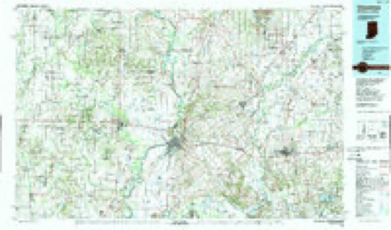
Topographic sheets covering this place
6 surveys from 13 printed sheetsMatched by testing this settlement's coordinate against the published boundary of every sheet in the United States Geological Survey's historical collection. Each opens the scanned sheet at the Survey.
- 1944 USGS Monroe City quadrangle1:24000, 2 printings
- 1956 USGS Vincennes quadrangle1:250000, 4 printings
- 1957 USGS Vincennes quadrangle1:250000
- 1958 USGS Monroe City quadrangle1:24000, 2 printings
- 1958 USGS Vincennes quadrangle1:250000, 2 printings
- 1986 USGS Vincennes quadrangle1:100000, 2 printings



Storms near this place
15 since 2004Regional context, not property-specific evidence. The National Weather Service names Willis in 15 storm reports between 2004 and 2024: 11 flood, 4 thunderstorm wind. No death or injury is recorded in these reports. Each account below is quoted exactly as the forecast office filed it, from the NOAA Storm Events Database, and each date opens the federal record of that event.
| When | Event | Place named | Harm | What the report says |
|---|---|---|---|---|
| January 2008 | Flood | Willis | $10,000 | Flooding occurred along the White River in southern Knox County due to heavy rain and snow melt. |
| February 2008 | Flood | Willis | $10,000 | Flooding occurred along the White River in southeastern Knox County due to heavy rain and snow melt. |
| February 2008 | Flood | Willis | $10,000 | Flooding occurred along the White River in southern Knox County due to heavy rain and snow melt. |
| March 2008 | Flood | Willis | $10,000 | Flooding occurred along the White River in southern Knox County due to heavy rain. Flooding continued until April 18th at 19:51. |
| March 2008 | Flood | Willis | $10,000 | Flooding occurred along the White River in southeastern Knox County due to heavy rain and snow melt. |
| March 2024 | Thunderstorm Wind | Willis | $5,000 | Multiple trees downed by thunderstorm wind gusts in the area. |
| May 2009 | Flood | Willis | $2,000 | Extensive flooding occurred along the White River near Willis, Indiana. The river crested 7.8 feet above flood stage on May 19th at a reading of 23.8 feet at the Petersburg, Indiana river gauge. Flooding of this magnitude typically affects local/county/state roads, agricultural land, rural residental areas, and surrounds river cabins. Damage costs are grossly estimated. |
| February 2018 | Flood | Willis | $1,000 | Water was flowing over parts of State Road 61 between Monroe City and the Pike County line due to heavy rainfall. |
| June 2013 | Thunderstorm Wind | Willis | $1,000 | A tree was reported down near 8345 East Hamlin Chapel Road due to damaging thunderstorm wind gusts. |
| June 2010 | Thunderstorm Wind | Willis | $1,000 | A tree was reported down at Martin's Curve, south of Monroe City. This damage was due to thunderstorm wind gusts. |
| February 2009 | Flood | Willis | - | Flooding occurred along the White River in Knox County, including in and near Petersburg, due to heavy rain. |
| April 2009 | Flood | Willis | - | Flooding occurred along the White River approximately 8 miles southeast of Monroe City, Indiana of Knox County, or 1.5 miles north northeast of Petersburg in neighboring Pike County. The river crested 5.2 feet above flood stage at the Petersburg river gauge on April 12th at a reading of 21.2 feet. A river level of this height typically affects various roads...state, county, and local...and agricultural land. Knox County in this area is largely unpopulated. |
| May 2009 | Flood | Willis | - | Predominately low bottomland flooding, and some higher, occurred along the White River approximately 8 miles southeast of Monroe City, Indiana of Knox County, or 1.5 miles north of Petersburg in neighboring Pike County. The river crested 3.6 feet above flood stage at the Petersburg river gauge on May 7th at a reading of 19.6 feet. A river level of this height typically affects local and perhaps a couple state roads, and agricultural land. Knox County in this area is largely unpopulated. |
| April 2008 | Flood | Willis | - | Flooding occurred along the White River in southern Knox County due to heavy rain. This flooding is a continuation from flooding that began on March 18th at 1115. Flood damage estimates from March are near ten thousand dollars. |
| May 2004 | Thunderstorm Wind | Willis | - | no account filed |
Nearest settlements
The eight closest, with where each one stands in the county. Distances are straight-line, computed from the Geographic Names Information System coordinates.
| Map | Place | Distance | Sheets |
|---|---|---|---|
| Ridgleville | 3.8 miles | 14 | |
| Five Points | 4.0 miles | 13 | |
| Pond Creek Mills | 4.1 miles | 13 | |
| Monroe City | 4.3 miles | 13 | |
| Iona | 6.1 miles | 14 | |
| Verne | 6.9 miles | 18 | |
| Wheatland | 8.0 miles | 14 | |
| Vollmer | 8.6 miles | 18 |
Provenance
This settlement is recorded in the Geographic Names Information System as feature 446091. The sheet list is computed by point-in-boundary test against the United States Geological Survey's historical topographic inventory. Both are works of the United States government and carry no copyright under 17 U.S.C. 105.
Storms. NOAA National Centers for Environmental Information, Storm Events Database https://www.ncei.noaa.gov/stormevents/ A work of the United States government, no copyright under 17 U.S.C. 105. Narratives are quoted verbatim from the National Weather Service report and are not edited or summarised.