 Block
Wilmington, Indiana
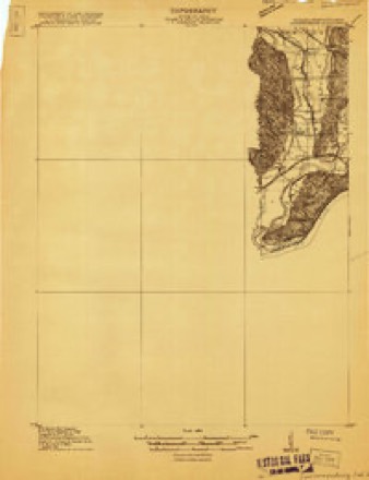
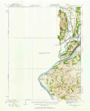
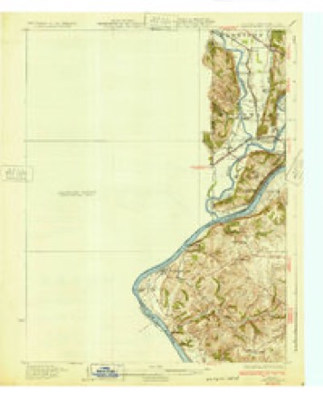
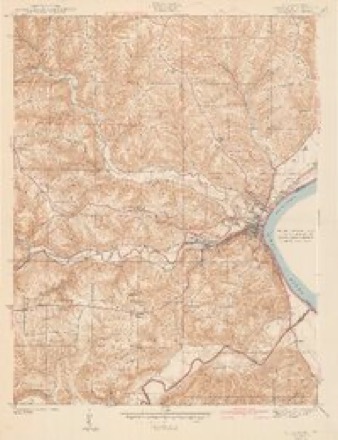
19 topographic sheets cover this place, the earliest surveyed in 1915 and the latest in 1986. It stands in Hogan Township. It lies in ZIP code area 47001. It stands on Goose Run. The Survey maps it on the Aurora quadrangle. It stands 794 feet above sea level.
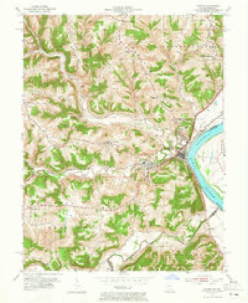
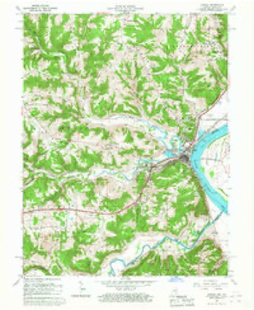
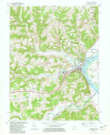
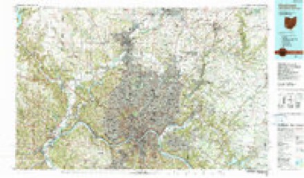
Topographic sheets covering this place
10 surveys from 19 printed sheetsMatched by testing this settlement's coordinate against the published boundary of every sheet in the United States Geological Survey's historical collection. Each opens the scanned sheet at the Survey.
- 1915 USGS Lawrenceburg quadrangle1:48000
- 1928 USGS Lawrenceburg quadrangle1:62500
- 1932 USGS Lawrenceburg quadrangle1:62500, 3 printings
- 1943 USGS Aurora quadrangle1:24000, 2 printings
- 1953 USGS Aurora quadrangle1:24000, 2 printings
- 1953 USGS Cincinnati quadrangle1:250000, 3 printings
- 1957 USGS Cincinnati quadrangle1:250000
- 1966 USGS Aurora quadrangle1:24000
- 1981 USGS Aurora quadrangle1:24000, 2 printings
- 1986 USGS Cincinnati quadrangle1:100000, 3 printings


In the county-history sources
2,073 words on this townshipHistory of Dearborn County Indiana, published 1915 names this settlement in its chapter on Hogan Township. These are the passages that mention it, exactly as the scans read.
Adam Flake and wife with their two sons and two daughters settled on South Hogan in January, 1796. It will be recalled that in 1805 Adam Flake entered a portion of section 35, in township 5, range 2 west, situated on South Hogan about a mile from the corporation line of Aurora, as it now is laid off. Here also his two sons above mentioned, William and Michael, entered, in 1 81 1, portions of the same section, and here the old pioneer lived and died at a good old age, and in the little graveyard in the same section his remains were laid away. His son, William Flake, served one term in the Legislature, in 1831, and was also at one time a member of the county board of super¬ visors. Michael Flake, another son, was one of the three parties that platted the town of Wilmington.
Passage source: History of Dearborn County Indiana, published 1915.
Conrad Huffman, who settled in the township in 1803, served in the War of 1812 under General Dill. His son. Hon. Elijah Huffman, was a member of the state Senate from 1867 to 1869. Elijah Huffman was the father of Andrew J. Huffman, a Civil War veteran, now living in the town of Wilmington. Peter Carbaugh, a soldier of the Revolution, settled in the township in 1805, locating near Wilmington.
Passage source: History of Dearborn County Indiana, published 1915.
From 1812 to 1820 the township took on new life, settlers came in fast. The town of Wilmington was laid out and considerable business was done here, Aurora had not yet been laid out, and on account of the bottom lands giving the settlers living there so much sickness of a malarial nature it was thought that settlers would not live there permanently. Wilmington offered a healthful location, as fine a view as anywhere in the county; it was on the public highway leading from Lawrenceburg to Madison, it was situated between the two Hogans, and it was claimed that the place had ideal advan¬ tages for a permanent place of residence as well as for business.
Passage source: History of Dearborn County Indiana, published 1915.
Machine-read from a century-old scan, so expect the errors a machine makes: misspelled names, dropped words, stray characters.
Read the whole chapter on Hogan Township - it names this place 6 more 6 times.
Mines and quarries near this place
1 within 5 milesRegional context, not property-specific evidence. The federal mineral resources record lists 1 working within 5 miles of Wilmington: 1 producer. All of them still produce. What was taken out: Sand and Gravel, Construction. Distance is straight-line from the map coordinates, so a quarry counted here may appear on a neighbouring settlement's page as well.
| Where | Site | Commodity | Status | Recorded |
|---|---|---|---|---|
| Laughery Plant | Sand and Gravel, Construction | Producer |
Storms near this place
8 since 2008Regional context, not property-specific evidence. The National Weather Service names Wilmington in 8 storm reports between 2008 and 2020: 4 thunderstorm wind, 2 flash flood, 1 tornado, 1 hail. No death or injury is recorded in these reports. Each account below is quoted exactly as the forecast office filed it, from the NOAA Storm Events Database, and each date opens the federal record of that event.
| When | Event | Place named | Harm | What the report says |
|---|---|---|---|---|
| June 2008 | Tornado (EF0) | Wilmington | $30,000 | Significant tree damage, along with minor roof and structural damage to homes in a trailer park was noted west of Cole Road. Some roofs were lifted off of the trailers, with skirting blown away from many trailers. Much of the damage that occurred here was due to trees falling on the trailers. Winds were estimated to be 65-70 mph. |
| April 2011 | Flash Flood | Wilmington | $20,000 | Lower Dillsboro Road was washed away by high water. |
| March 2017 | Thunderstorm Wind | Wilmington | $10,000 | Numerous trees were downed throughout the county. |
| August 2018 | Thunderstorm Wind | Wilmington | $2,000 | A couple of trees were reported knocked down on Soap Hill Road. |
| July 2020 | Thunderstorm Wind | Wilmington | $1,000 | A tree was downed on Short Ridge Road. |
| June 2018 | Thunderstorm Wind | Wilmington | $1,000 | One tree was knocked down at North Hogan Road and Possum Ridge Road. |
| February 2019 | Flash Flood | Wilmington | - | Water was reported flowing rapidly over Lower Dillsboro Rd. |
| October 2016 | Hail | Wilmington | - | no account filed |
Nearest settlements
The eight closest, with where each one stands in the county. Distances are straight-line, computed from the Geographic Names Information System coordinates.
| Map | Place | Distance | Sheets |
|---|---|---|---|
| Cochran | 1.6 miles | 19 | |
| Westside | 2.1 miles | 19 | |
| Aurora | 2.4 miles | 19 | |
| Utah | 2.6 miles | 19 | |
| Texas | 3.0 miles | 19 | |
| Mount Sinai | 3.0 miles | 19 | |
| Kirschs Corner | 4.1 miles | 19 | |
| Wrights Corner | 5.1 miles | 17 |
Elsewhere
Matched on this settlement's Geographic Names Information System number rather than its name, so it cannot be a different place of the same name in another state.
| Wikipedia article on Wilmington | An encyclopaedic summary. Its text is share-alike, so it is linked here rather than copied. |
| Wikidata item Q8022722 | The structured record the population and elevation above come from. Public domain (CC0). |
Provenance
This settlement is recorded in the Geographic Names Information System as feature 446116. The sheet list is computed by point-in-boundary test against the United States Geological Survey's historical topographic inventory. Both are works of the United States government and carry no copyright under 17 U.S.C. 105.
Mines and quarries. USGS Mineral Resources Data System (MRDS) https://mrdata.usgs.gov/mrds/ A work of the United States government, no copyright under 17 U.S.C. 105.
Storms. NOAA National Centers for Environmental Information, Storm Events Database https://www.ncei.noaa.gov/stormevents/ A work of the United States government, no copyright under 17 U.S.C. 105. Narratives are quoted verbatim from the National Weather Service report and are not edited or summarised.