 Block
Cochran, Indiana
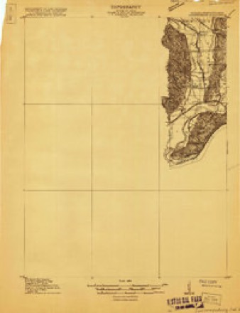
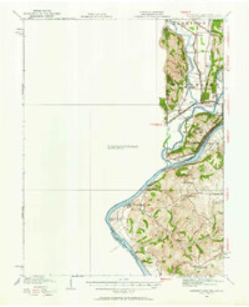
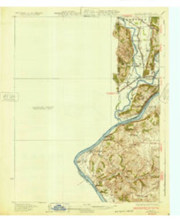
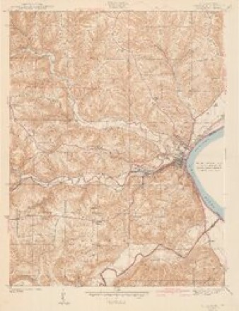
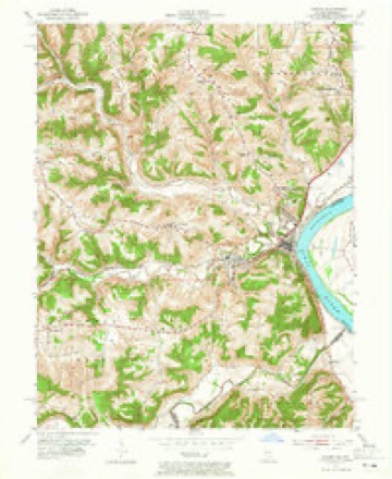
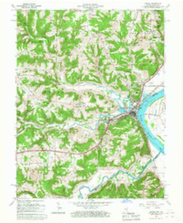
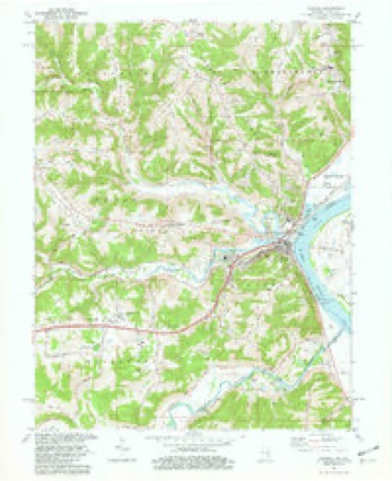
19 topographic sheets cover this place, the earliest surveyed in 1915 and the latest in 1986. It stands in Center Township. It lies in ZIP code area 47001. It stands on Hogan Creek. The Survey maps it on the Aurora quadrangle.
On record in Cochran
Buildings and businesses the archive holds for this place. Each opens its own page, with the source record it came from.
On the National Register within a mile 1 record
The National Register names another town for these. They stand within one mile of this settlement's coordinate.
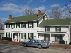 Lewis Hurlbert Sr. Houselisted 1994 · 0.9 miles away
Topographic sheets covering this place
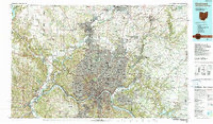
10 surveys from 19 printed sheetsMatched by testing this settlement's coordinate against the published boundary of every sheet in the United States Geological Survey's historical collection. Each opens the scanned sheet at the Survey.
- 1915 USGS Lawrenceburg quadrangle1:48000
- 1928 USGS Lawrenceburg quadrangle1:62500
- 1932 USGS Lawrenceburg quadrangle1:62500, 3 printings
- 1943 USGS Aurora quadrangle1:24000, 2 printings
- 1953 USGS Aurora quadrangle1:24000, 2 printings
- 1953 USGS Cincinnati quadrangle1:250000, 3 printings
- 1957 USGS Cincinnati quadrangle1:250000
- 1966 USGS Aurora quadrangle1:24000
- 1981 USGS Aurora quadrangle1:24000, 2 printings
- 1986 USGS Cincinnati quadrangle1:100000, 3 printings


In the county-history sources
2,243 words on this townshipHistory of Dearborn County Indiana, published 1915 names this settlement in its chapter on Center Township. These are the passages that mention it, exactly as the scans read.
The town of Cochran, now incorporated with Aurora, on the right bank of South Hogan creek, joins the city of Aurora. The Baltimore & Ohio Southwestern railway passes through it and the main street is the Aurora and Laughery turnpike. On account of the car shops of the railway company being erected here when the road was first constructed the town owes its origin. The town was laid out in section 31, township 5, range 1 west, and was platted and filed in the recorder's office of the county on August 25, i860. The postoffice was established in 1878, on July 4, with A. P. Shutts postmaster. The village suffered the loss of many of its inhabitants by the removal of the railway shops to Washington, Indiana, but has recovered from it now and is becoming both a residence and business part of the city of Aurora.
Passage source: History of Dearborn County Indiana, published 1915.
"Martin Cozine settled on what is now the James farm on South Hogan; Horsley, Scott and Petite in the same neighborhood. Nicholas Cheek Still lived below Wilson creek in the cabin first erected by him, but soon after Cochran came he built a small house out of hewed logs, probably the first one of the kind in the settlement. Francis, Page and Tavner, brothers of Nicholas Cheek, were here at that time. The bottom lands between this point and Petersburg, on the Kentucky side of the river were cleared and the country in the interior quite thickly settled. Petersburg, formerly Tanners Station, was an ambitious village. Lawrenceburg was laid out and growing. Aurora was yet unborn. Among those who settled in the neighborhood, from 1807 to 1812, and who have descendants still living here, may be mentioned the following: Charles Folbre, William Griffin, Thomas Billingsley, David Rees, Robert Milburn, Samuel Elder, Eleazer Small, William Wymond, Vachel Lindsay and William Winters. The last mentioned lived for a number of years on the bottoms above Wilson creek. Christopher Bingainan and Joseph Barlow were others. Barlow died some time ago near Burlington, Kentucky, at the age of one hundred and seven years."
Passage source: History of Dearborn County Indiana, published 1915.
Machine-read from a century-old scan, so expect the errors a machine makes: misspelled names, dropped words, stray characters.
Read the whole chapter on Center Township - it names this place 2 more 2 times.
Mines and quarries near this place
3 within 5 milesRegional context, not property-specific evidence. The federal mineral resources record lists 3 workings within 5 miles of Cochran: 2 producers, 1 past producer. 2 still produce. What was taken out: Sand and Gravel, Construction. Distance is straight-line from the map coordinates, so a quarry counted here may appear on a neighbouring settlement's page as well.
| Where | Site | Commodity | Status | Recorded |
|---|---|---|---|---|
| D & M Mine | Sand and Gravel, Construction | Past Producer | ||
| Laughery Plant | Sand and Gravel, Construction | Producer | ||
| Petersburg Mine | Sand and Gravel, Construction | Producer |
Nearest settlements
The eight closest, with where each one stands in the county. Distances are straight-line, computed from the Geographic Names Information System coordinates.
| Map | Place | Distance | Sheets |
|---|---|---|---|
| Aurora | 1.1 miles | 19 | |
| Westside | 1.1 miles | 19 | |
| Utah | 1.3 miles | 19 | |
| Texas | 1.5 miles | 19 | |
| Wilmington | 1.6 miles | 19 | |
| Mount Sinai | 4.6 miles | 19 | |
| Lawrenceburg | 4.6 miles | 16 | |
| Oldtown | 4.9 miles | 16 |
Elsewhere
Matched on this settlement's Geographic Names Information System number rather than its name, so it cannot be a different place of the same name in another state.
| Wikipedia article on Cochran | An encyclopaedic summary. Its text is share-alike, so it is linked here rather than copied. |
| Wikidata item Q17986575 | The structured record the population and elevation above come from. Public domain (CC0). |
Provenance
This settlement is recorded in the Geographic Names Information System as feature 432727. The sheet list is computed by point-in-boundary test against the United States Geological Survey's historical topographic inventory. Both are works of the United States government and carry no copyright under 17 U.S.C. 105.
Mines and quarries. USGS Mineral Resources Data System (MRDS) https://mrdata.usgs.gov/mrds/ A work of the United States government, no copyright under 17 U.S.C. 105.