 Block
Wilson, Indiana
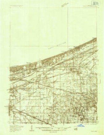
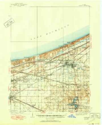
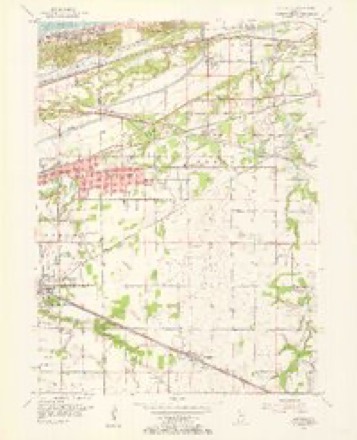
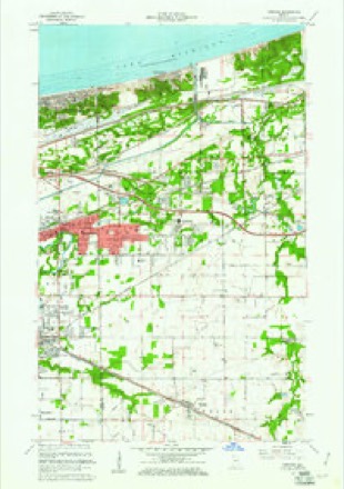
19 topographic sheets cover this place, the earliest surveyed in 1934 and the latest in 1992. It stands in Portage Township. It lies in ZIP code area 46368. It stands on Salt Creek. The Survey maps it on the Portage quadrangle.
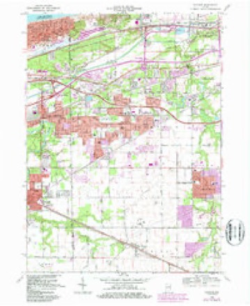
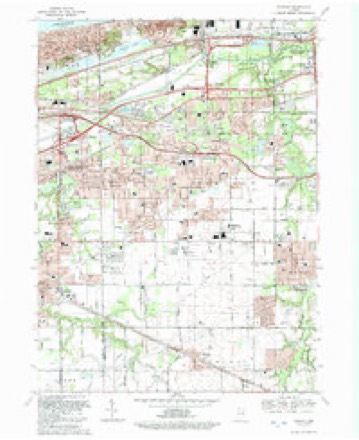
Topographic sheets covering this place
9 surveys from 19 printed sheetsMatched by testing this settlement's coordinate against the published boundary of every sheet in the United States Geological Survey's historical collection. Each opens the scanned sheet at the Survey.
- 1934 USGS Porter quadrangle1:48000
- 1940 USGS Porter quadrangle1:62500, 3 printings
- 1953 USGS Chicago quadrangle1:250000, 5 printings
- 1953 USGS Garyton quadrangle1:24000
- 1957 USGS Chicago quadrangle1:250000
- 1960 USGS Portage quadrangle1:24000, 2 printings
- 1968 USGS Portage quadrangle1:24000, 4 printings
- 1980 USGS Chicago quadrangle1:100000
- 1992 USGS Portage quadrangle1:24000


In the county-history sources
8,499 words on this townshipHistory of Porter County, Indiana : a Narrative Account of Its Historical Progress, Its People and Its Principal Interests, published 1912 names this settlement in its chapter on Portage Township. These are the passages that mention it, exactly as the scans read.
In the pioneer days Union township was farUicj- IVm;,! I he institutions of civilization than the settlements farther uorlh and i ;i ,1. It was thirty miles to the nearest grist mill, and it was a custom foj unr of the settlers to make up a wagon load of grain among tlu: neigh l.cj.^ and make the three day trip with an ox-team, distributing the flour or -orn meal among the owners of the grain upon his return. ^Vlien this supply I'an out an- man would take his turn in going to the mill. TIk miller's toll was hea^'J', and some of the settlers overcame the difiieulty hy liurning a hollow in the top of a large stump for a mortar, and pounding theii- corn therein with a hard-wood pestle. The meal produced ]<y this method was coarse, ^)ut it was wholesome, and frequently the only supper served was a bowl of mush made of this meal and a generous porlion of fresh milk. The implements used by the pioneer farmers wei-e of Mw most primitive character. The first plow used in the township was oT the old "bulltongue" pattern, and harrows were made by scU'ctiiii; a \"-sliaiH'd fork of a tree, boring holes at regular distances through each 1 : ^ineli of the fork and driving into them hard wood pegs for teelb. Wiicfii \\as cut with the cradle and bound by hand. In some cases the siekir, oi' "reap-hook," was used, especially if the grain was rank and tangled h> the wind. The grain was threshed with the flail, tramped out 1)>- drivii;;.' horses or cattleover it on a piece of ground smoothed off foj' the inposi', or in some instances the "ground-hog" threshing machiiu' was i,., J. This would looseu the grain from the chaff, but did not separate tlieiii. The farmer must accomplish that by winnowing the grain - that is by tossing it into the ail' - tlie wind blowing the chaff awaj' and the grain falling upon a sheet. Occasionally there was a farmer who was the proud possessor of a "fanning mill," in which the wheat and chaff were poured into a hopper at the top, and by turjiing a crank were shaken down through the mill, a revolving fan blowing the chaff out at the rear end while the wheat poured out of a spout at the bottom of the machine. ]\Iany a boy has blistered his hands ^vhile turning one of these fans, no doubt nnittering meanwhile mental maledictions upon the inventor. Now, the farmer frequently rides as lie plows, his grain is harvested with the twine binder, the lium of the steam thresher is heard instead of the "thud, thud" of the old-fashioned flail, and the fanning mill has gone, never to return. Not far from the western boundary, on the old Sauk trail, James or Thomas Snow (authorities differ as to the name), in 1833, erected the first frame house in the townsliii;). The lumber was hauled from Laporte, and when the building wa.s completed I\lr. Snow put in a small stock of goods, thus becoming Union township's first merchant. Two years later he sold out to Oliver Shepard, a Yankee, who put up a sign bearing the legend "The Hoosier's Nest," and in a short time the place became known far and wide. The fame of this place has been perpetuated in verse by John Finley, and as his poem is really a part of Porter county's history, it is here reproduced.
Passage source: History of Porter County, Indiana : a Narrative Account of Its Historical Progress, Its People and Its Principal Interests, published 1912.
Machine-read from a century-old scan, so expect the errors a machine makes: misspelled names, dropped words, stray characters.
Read the whole chapter on Portage Township - it names this place 2 more 2 times.
Fires near this place
468 since 1992Regional context, not property-specific evidence. The federal wildfire occurrence database lists 468 fires within 5 miles of Wilson between 1992 and 2020, burning about 1,424 acres in total. 11 started naturally. 46 were recorded as arson. Distance is straight-line from the map coordinates, so a fire counted here may appear on a neighbouring settlement's page as well.
| Reported cause | Fires |
|---|---|
| Missing data/not specified/undetermined | 127 |
| Railroad operations and maintenance | 111 |
| Debris and open burning | 54 |
| Arson/incendiarism | 46 |
| Fireworks | 35 |
| Misuse of fire by a minor | 26 |
| Recreation and ceremony | 23 |
| Equipment and vehicle use | 20 |
| Natural | 11 |
| Smoking | 7 |
| Power generation/transmission/distribution | 5 |
| Other causes | 3 |
The most recent of them, most recent first, with the day each was reported and the service that recorded it.
| Date | Cause | Size | Reported by | Name on the report |
|---|---|---|---|---|
| 9 September 1999 | Railroad operations and maintenance | under an acre | Indiana Dunes National Lakeshore | FLEA2 |
| 6 September 1998 | Railroad operations and maintenance | under an acre | Indiana Dunes National Lakeshore | RAIL FIRE |
| 6 September 1994 | Railroad operations and maintenance | under an acre | Indiana Dunes National Lakeshore | NORTH |
| 5 September 1998 | Equipment and vehicle use | under an acre | Indiana Dunes National Lakeshore | MISSEDFIRE |
| 4 September 2018 | Railroad operations and maintenance | 1.0 acres | Indiana Dunes National Lakeshore | MILL |
| 30 September 2000 | Railroad operations and maintenance | 5.0 acres | Indiana Dunes National Lakeshore | STEEL FIRE |
| 30 September 1995 | Railroad operations and maintenance | 1.2 acres | Indiana Dunes National Lakeshore | CAN |
| 27 September 1997 | Recreation and ceremony | under an acre | Indiana Dunes National Lakeshore | PAINT |
Settlements close enough to share some of these fires:
Mines and quarries near this place
4 within 5 milesRegional context, not property-specific evidence. The federal mineral resources record lists 4 workings within 5 miles of Wilson: 3 past producers, 1 producer. 1 still produces. What was taken out: Sand and Gravel, Construction, Clay. Distance is straight-line from the map coordinates, so a quarry counted here may appear on a neighbouring settlement's page as well.
| Where | Site | Commodity | Status | Recorded |
|---|---|---|---|---|
| Box Sand Co Pit | Sand and Gravel, Construction | Past Producer | ||
| Crisman Sand Company | Sand and Gravel, Construction | Producer | ||
| Lorenz Brothers Pit Number 1 | Clay | Past Producer | ||
| Zehner Pit | Clay | Past Producer |
Nearest settlements
The eight closest, with where each one stands in the county. Distances are straight-line, computed from the Geographic Names Information System coordinates.
| Map | Place | Distance | Sheets |
|---|---|---|---|
| Shady Side | 0.9 miles | 19 | |
| Burns Harbor | 1.4 miles | 16 | |
| Salt Creek Estates | 1.5 miles | 19 | |
| Ogden Dunes | 1.7 miles | 19 | |
| Meadowbrook | 2.0 miles | 17 | |
| Haglund | 2.3 miles | 17 | |
| Crisman | 2.4 miles | 19 | |
| Woodland Village | 2.6 miles | 19 |
Provenance
This settlement is recorded in the Geographic Names Information System as feature 446119. The sheet list is computed by point-in-boundary test against the United States Geological Survey's historical topographic inventory. Both are works of the United States government and carry no copyright under 17 U.S.C. 105.
Wildfire. Short, Karen C. 2022. Spatial wildfire occurrence data for the United States, 1992-2020 [FPA_FOD_20221014]. 6th Edition. Fort Collins, CO: Forest Service Research Data Archive. https://doi.org/10.2737/RDS-2013-0009.6 Collected with United States Government funding and usable without additional permissions or fees.
Mines and quarries. USGS Mineral Resources Data System (MRDS) https://mrdata.usgs.gov/mrds/ A work of the United States government, no copyright under 17 U.S.C. 105.