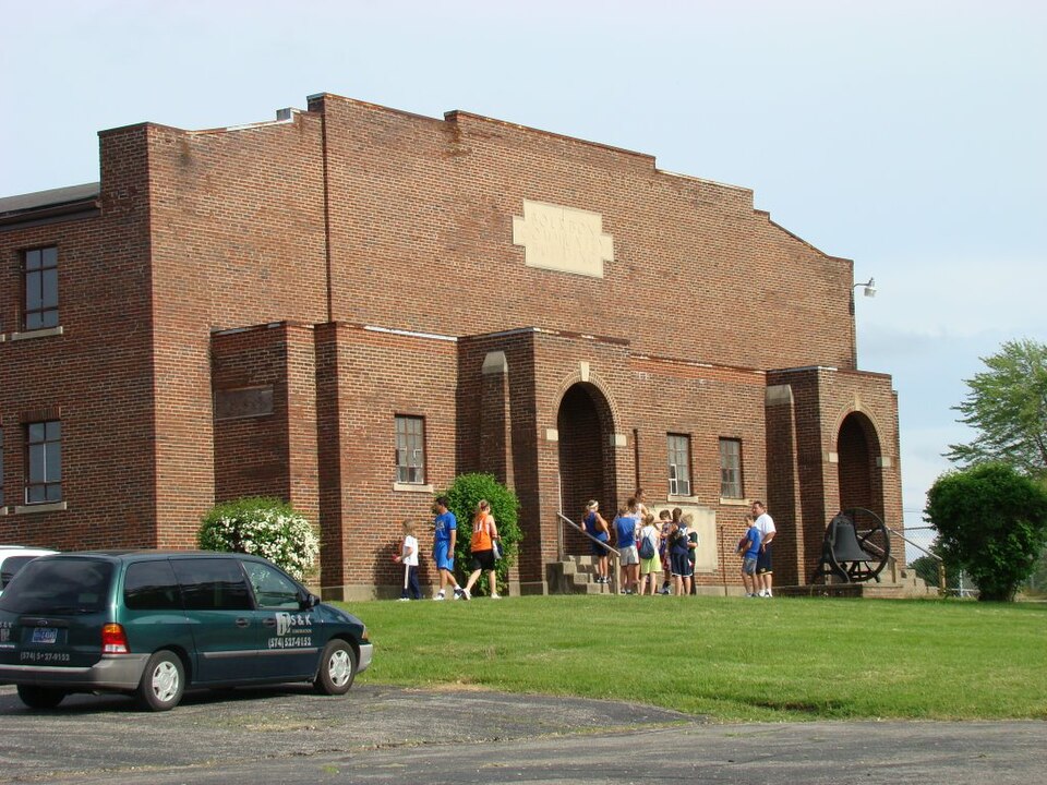
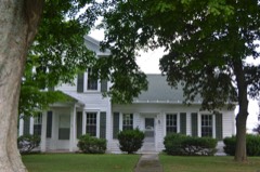
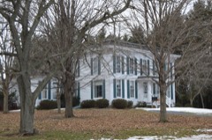
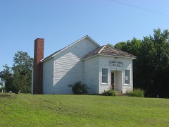
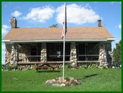
Listed on the National Register of Historic Places in 2015.
From the record
“Bourbon Community Building-Gymnasium was a historic gymnasium and community center located at Bourbon, Indiana. The gym was built in 1928 and demolished in 2021.”
Wikipedia article Bourbon Community Building-Gymnasium, CC BY-SA 4.0.
One of 34 National Register listings published here for Marshall County · listed in 2015 · category: Building.
One of the most horrible and brutal rnurders ever recorded in Northern Indiana was committed near the railroad, one and a half miles east of Bourbon, on the morning of September 7, 1867. The name of the murdered woman was Barbara Catherine Dale, aged about fifty-six years. She came to this country a few years prior to the date of her murder, with her only son,a lad of about twenty years of age, who supported himself and mother in a comfortable
HIS township was organized January 6, 1$40), Prior to that time, it was a part of Center Township. In addition tothe territory now embraced within its boundaries, it contained what is now Tippecanoe Township. Its dimensions at that time were seven miles wide by fourteen in length. March 9, 1842, it was divided in the center east and west,and the southern half took the name of Tippecanoe Township. Bourbon Township is now seven miles sqnare, and contains about 31,460 aeres of land, of whieh probably 20,000 acres are under cultivation. The petitioners for the organization of Bourbon 'Township were James O. Parks, Grayson
N. Y. He was reared on a farm, and until seventeen years of age was engaged in the usual routine of farm labor, attending school in the winter. At the age of seventeen, he left home and accepted employment on the Albany & Boston Railroad, finally attaining the position of Superintendent of a section. The financial crisis of 1857 caused a general reduction of wages, to which he refused to submit, and this action was the first step in a course which finally made him a citizen or Marshall County. Having relinquished his position on the railroad, he decided to visit the West in quest of a satisfactory location, believing that he could earn better wages. He went first to Iowa, thence to Illinois, and afterward located at Fort Wayne, Ind. In May, 1858, he removed to Bourbon, in Marshall County, and was employed on the railroad until October of that year. Associated with F. P. Morgan, he then engaged in the lumber trade, operating a saw-mill at Bourbon, and has ever since continued in this line of business. In the fall of 1866, associated with Jacob Slough, he erected the saw-mill of which he is now the proprietor, having purchased the interest of his partner, after the death of the latter, in 1878. In June, 1879, he purchased the hardware establishment of Arnold & Tescher, at Bourbon, and associated his son with him as the junior member of the firm, still continuing his
Regional context, not property-specific
evidence. The federal mineral resources record lists
1 working within 5 miles of Bourbon Community Building-Gymnasium: 1 producer.
All of them still produce. What was taken out: Sand and Gravel, Construction. Distance is straight-line from the
map coordinates, so a quarry counted here may appear on a neighbouring
settlement's page as well.
Regional context, not property-specific
evidence. The National Weather Service names
Bourbon, the town this property stands in, in 19 storm reports between 1998 and 2025: 15 thunderstorm wind, 4 hail.
No death or injury is recorded in these reports. Each account below is quoted exactly as the forecast office
filed it, from the NOAA Storm Events Database, and each date
opens the federal record of that event.
Major tree damage and some structural damage on S Beech Road between SR 10 and 14B Road. Siding is in the trees and on the road. There is a narrow path of downed trees through a patch of forest.
Emergency management officials reported several trees and tree limbs down in Bourbon. A few of these fell onto homes and power lines. No injuries were reported.
Thunderstorm wind gusts damaged two 15-inch diameter pine trees. Tree trunks were broken half way up. Two other 15-inch diameter pine trees were uprooted.
No historic map-sheet match is published
for this property yet. That does not mean no map exists. This record needs
a coordinate-quality review before it can be joined to a sheet boundary.
Browse the county's mapped places while that work is
pending.
Listed places nearby
6 within 8 miles
Other National Register properties close
enough to walk or drive between, ordered by distance from this one. Both
positions come from the same geocoding pass that matched these properties
to their map sheets.
Listing record. National Park Service National Register of Historic Places, listed-properties dataset, current to 2026-05-22.
Map join. Address geocoded through the United States Census geocoder, then tested against the published boundary of every sheet in the USGS Historical Topographic Map Collection.
How this page is made. Listing fields come from federal records; map-sheet coverage is a labelled coordinate-to-boundary calculation, not a source-field claim.
Mines and quarries. USGS Mineral Resources Data System (MRDS) https://mrdata.usgs.gov/mrds/ A work of the United States government, no copyright under 17 U.S.C. 105.
Storms. NOAA National Centers for Environmental Information, Storm Events Database https://www.ncei.noaa.gov/stormevents/ A work of the United States government, no copyright under 17 U.S.C. 105. Narratives are quoted verbatim from the National Weather Service report and are not edited or summarised.
 Block