Block
From the record
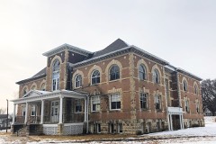
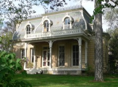
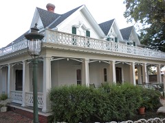
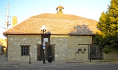
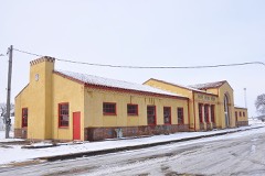
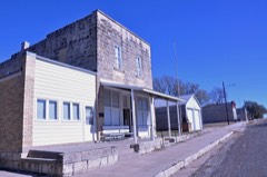
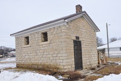
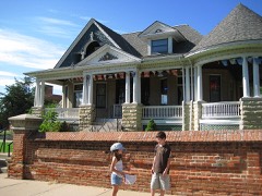
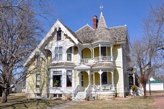
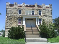
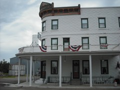
22 National Register listings published here.
Sources: the National Register database, National Park Service
41 topographic sheets cover 29 settlements here, and 22 properties are on the National Register of Historic Places.
22 National Register listings published here.
Sources: the National Register database, National Park Service
Every property in this county listed on the National Register of Historic Places, with the year it was listed and the federal nomination document.
Every wildfire the federal occurrence database records inside this county: 96 of them, burning about 8,269 acres. 2 started naturally and 8 were recorded as arson. Each settlement page carries the fires within five miles of it.
| Reported cause | Fires |
|---|---|
| Missing data/not specified/undetermined | 49 |
| Debris and open burning | 27 |
| Arson/incendiarism | 8 |
| Equipment and vehicle use | 7 |
| Recreation and ceremony | 2 |
| Natural | 2 |
| Smoking | 1 |
The five largest, by the area the report gives. One of them was set deliberately.
| Date | Cause | Size | Reported by | Name on the report |
|---|---|---|---|---|
| 24 February 1996 | Missing data/not specified/undetermined | 2,288 acres | Marshall County | not named |
| 7 April 2016 | Missing data/not specified/undetermined | 2,075 acres | Marshall County | BLUE RAPIDS |
| 3 April 2005 | Missing data/not specified/undetermined | 1,800 acres | Kansas Forest Service | LILLIS |
| 1 May 2005 | Missing data/not specified/undetermined | 600 acres | Kansas Forest Service | MURRAY |
| 21 March 2015 | Arson/incendiarism | 270 acres | Kansas Forest Service | 7 |
| 11 March 2015 | Debris and open burning | 120 acres | Kansas Forest Service | 79 |
| 4 March 2020 | Recreation and ceremony | 100 acres | Kansas Forest Service | not named |
| 27 February 2018 | Debris and open burning | 80 acres | Kansas Forest Service | 1800002 |
Every settlement page carries the fires within five miles of it - see the settlement index below.
The NOAA Storm Events Database holds 636 reports for this county, causing no deaths, 1 injury and about $27,266,500 in recorded property damage. Each settlement page carries the reports that name it.
| Kind of event | Reports |
|---|---|
| Hail | 325 |
| Thunderstorm Wind | 225 |
| Tornado | 41 |
| Flash Flood | 35 |
| Flood | 4 |
| Funnel Cloud | 3 |
| Heavy Rain | 2 |
| Lightning | 1 |
The most serious of them, by death, then injury, then recorded damage. The accounts are quoted exactly as the forecast office filed them.
| When | Event | Place named | Harm | What the report says |
|---|---|---|---|---|
| May 1959 | Tornado (F2) | not stated | 1 hurt | no account filed |
| September 1973 | Tornado (F3) | not stated | $25,000,000 | no account filed |
| June 1998 | Tornado (F1) | Home | $810,000 | no account filed |
| March 1979 | Tornado (F1) | not stated | $250,000 | no account filed |
| April 1976 | Tornado (F1) | not stated | $250,000 | no account filed |
| June 1997 | Thunderstorm Wind | Lillis | $150,000 | no account filed |
| May 2007 | Flash Flood | Vliets | $100,000 | Highway 87 closed just off highway 9 near Vliets. Water over the roadway. |
| May 1998 | Thunderstorm Wind | Marysville | $82,000 | no account filed |
| June 1997 | Thunderstorm Wind | Beattie | $70,000 | no account filed |
| April 1999 | Tornado (F0) | Marysville | $60,000 | A small tornado moved north from near Marysville to near Oketo damaging several farm homes and out buildings. |
| May 2007 | Flash Flood | Marysville | $50,000 | Few roads closed due to flash flooding with 4 to 6 inches of rain. K-87 also closed with some culvert damage on rural roads. |
| May 2007 | Flood | Vliets | $50,000 | Moderate or greater flooding vicinity of the gage on the Black Vermillion River near Frankfort. Lowland flooding with some county roads closed. |
| July 1994 | Thunderstorm Wind | not stated | $50,000 | High winds caused significant and widespread damage across southern Marshall County. Power was out in some areas for 72 hours. |
| June 1997 | Hail | Lillis | $40,000 | no account filed |
| July 2004 | Thunderstorm Wind | Waterville | $30,000 | Strong winds blew down 13 power line poles near Waterville. |
| June 1997 | Thunderstorm Wind | Marysville | $30,000 | no account filed |
| May 1960 | Tornado | not stated | $25,000 | no account filed |
| May 1959 | Tornado (F2) | not stated | $25,000 | no account filed |
| July 1950 | Tornado (F1) | not stated | $25,000 | no account filed |
| April 2026 | Flash Flood | Irving | $20,000 | Thirty people were stranded at a campground and needed to be rescued. |
| July 2004 | Thunderstorm Wind | Waterville | $15,000 | Strong winds blew the roof off of a warehouse in Waterville. Trees were also blow over, one knocking off a street light. |
| May 1996 | Tornado (F0) | Bremen | $15,000 | no account filed |
| June 2010 | Thunderstorm Wind | Waterville | $10,000 | Trained spotters throughout Marshall County reported 80 mph wind gusts. Large trees were damaged and house windows blew out in Waterville. In Blue Rapids structural damage to homes was reported. In Vermillion, portions of a school roof was blown off. And in Axtell, an 18 foot diameter tree branch snapped. |
| May 2004 | Tornado (F0) | Oketo | $10,000 | A tornado touched down near Oketo and moved northnortheast 1 mile before dissipating. A mobile home and several buildings were damaged in Oketo. |
| May 1998 | Thunderstorm Wind | Blue Rapids | $10,000 | no account filed |
| July 2012 | Thunderstorm Wind | Bestwall | $5,000 | Several one inch tree limbs were down, as well as a 6 to 8 inch diameter tree in Blue Rapids. Power outages were also reported in the city. |
| June 2010 | Hail | Beattie | $5,000 | Streets were covered with hail and several windows were reported broken by county deputies. |
| June 2001 | Lightning | Oketo | $5,000 | Lightning struck a house and started a fire that did major damage to the structure. |
| April 1999 | Thunderstorm Wind | Marysville | $5,000 | A large machine shed and combine were destroyed near Marysville. |
| July 1994 | Thunderstorm Wind | Bremen | $5,000 | High winds knocked down trees and caused power outages with minor roof damage to some buildings. |
| July 1994 | Thunderstorm Wind | Blue Rapids | $5,000 | High winds knocked down trees and caused power outages with minor roof damage to some buildings. |
| May 1993 | Thunderstorm Wind | Blue Rapids | $5,000 | High winds caused damage to homes, uprooted trees and knocked out electricity in Blue Rapids. |
| June 1997 | Thunderstorm Wind | Axtell | $5,000 | no account filed |
| June 1994 | Thunderstorm Wind | Blue Rapids | $5,000 | no account filed |
| June 2011 | Thunderstorm Wind | Marysville | $4,000 | Four large trees were blown down near Marysville. |
| June 2009 | Hail | Waterville | $4,000 | A trained spotter reported that quarter sized hail broke several windows out of a nearby home. The hail was wind driven as reported by the spotter. |
| May 1998 | Thunderstorm Wind | Waterville | $4,000 | no account filed |
| July 2011 | Thunderstorm Wind | Marysville | $3,000 | Around a dozen trees were damaged on the west side of town. Trees were 2 to 3 feet in diameter with 8 to 10 in limbs blocking roadways. |
| August 2003 | Thunderstorm Wind | Waterville | $3,000 | Strong winds blew a few power poles down. |
| April 1999 | Thunderstorm Wind | Marysville | $3,000 | Thunderstorm winds destroyed a hog shed and several feeders. |
| May 1983 | Tornado (F0) | not stated | $2,500 | no account filed |
| June 1969 | Tornado (F1) | not stated | $2,500 | no account filed |
| August 1953 | Tornado (F1) | not stated | $2,500 | no account filed |
| September 2004 | Thunderstorm Wind | Blue Rapids | $2,000 | Strong winds blew down a 15 inch diameter tree limb which did minor damage to a pick-up truck parked nearby. |
| July 2001 | Thunderstorm Wind | Beattie | $2,000 | Strong winds blew down trees and power lines. |
| April 1999 | Thunderstorm Wind | Oketo | $2,000 | Two barns and a shed suffered wind damage near Oketo. |
| April 1999 | Thunderstorm Wind | Marysville | $2,000 | A roof was blown off a trailer. |
| June 1997 | Thunderstorm Wind | Frankfort | $2,000 | no account filed |
| April 2012 | Thunderstorm Wind | Carden | $1,000 | Several outbuildings were damaged and several trees were uprooted. |
| May 1999 | Tornado (F1) | Summerfield | $1,000 | A tornado touched down at a farm and lifted a machine shed over a house before destroying the shed. |
| May 1998 | Thunderstorm Wind | Marysville | $1,000 | no account filed |
| May 1998 | Thunderstorm Wind | Lillis | $1,000 | no account filed |
| June 2011 | Thunderstorm Wind | Marysville | $500 | Wind driven hail caused some paint to chip off the side of one house near Marysville. |
| May 2005 | Flash Flood | Axtell | $500 | Fast flowing water running across county roads. |
| May 2005 | Flash Flood | Summerfield | $500 | Heavy rain brought rapid flowing water over K-99. |
| April 1963 | Tornado (F2) | not stated | $250 | no account filed |
| April 1963 | Tornado (F2) | not stated | $250 | no account filed |
| April 2026 | Thunderstorm Wind | Waterville | - | A barn was heavily damaged. This was a delayed report. |
| May 2025 | Hail | Summerfield | - | Ping pong ball size hail in Summerfield. |
| September 2025 | Thunderstorm Wind | Beattie | - | One large tree blown down over the highway and damage to a road sign. Delayed report, time estimated from radar. |
The Survey's mineral resources record lists 2 workings inside this county. All of them still produce. Each settlement page carries the workings within five miles of it.
| Commodity | Workings |
|---|---|
| Gypsum-Anhydrite | 2 |
The least common of them first, because a county's hundredth gravel pit says nothing its first ten did not.
| Where | Site | Commodity | Status | Recorded |
|---|---|---|---|---|
| Blue Rapids Mine & Mill | Gypsum-Anhydrite | Producer | ||
| Blue Rapids Mine & Mill | Gypsum-Anhydrite | Producer |
Named settlements recorded in the Geographic Names Information System, each with the topographic sheets covering it. Villages, hamlets and abandoned places alike. Each is shown with the nearest named watercourse or landform and the survey quadrangle it falls on.
Elm Creek township · 66411 · On Dutch Creek · Marysville quadrangle
15 sheets, 1889 to 1986
Blue Rapids City township · 66411 · On Little Blue River · Blue Rapids quadrangle
15 sheets, 1889 to 1986
Vermillion township · 66427 · On Little Timber Creek · Frankfort quadrangle
14 sheets, 1889 to 1986
Herkimer township · 66412 · On Little Indian Creek · Hanover East quadrangle
15 sheets, 1889 to 1986
Marysville city · 66508 · On Spring Creek · Marysville quadrangle
15 sheets, 1889 to 1986
Noble township · 66544 · On North Fork Black Vermillion River · Vermillion quadrangle
16 sheets, 1889 to 1986