 Block
Andover, Kansas
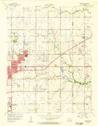
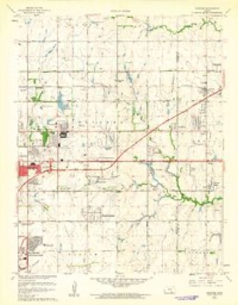
19 topographic sheets cover this place, the earliest surveyed in 1889 and the latest in 1990. It stands in Bruno Township. It lies in ZIP code area 67002. The Survey maps it on the Andover quadrangle. 14,892 people lived here at the 2020 count. It stands 1,352 feet above sea level.
Research this city
Population over time
2 figuresAndover grew from 11,791 to 14,892 between 2010 and 2020. These are the recorded population figures Wikidata holds for this place, reached through the Geographic Names Information System number this page is keyed on rather than by name, so they belong to this place and not to another of the same name. Most are census counts, but not all are: an early figure may be a founding or settlement estimate, and an estimate published within five years of a census is left out. The change column is computed, and is left blank where more than 20 years separate a figure from the one before it, because a gap that long is not a change between two counts.
| Year | People | Change |
|---|---|---|
| 2010 | 11,791 | |
| 2020 | 14,892 | +3,101 (+26%) |
Topographic sheets covering this place
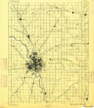
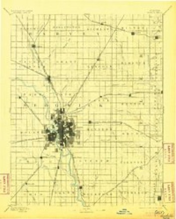
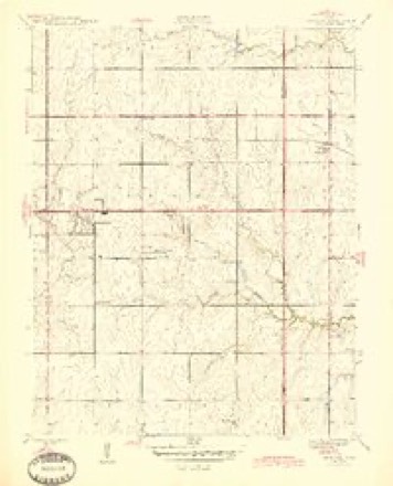
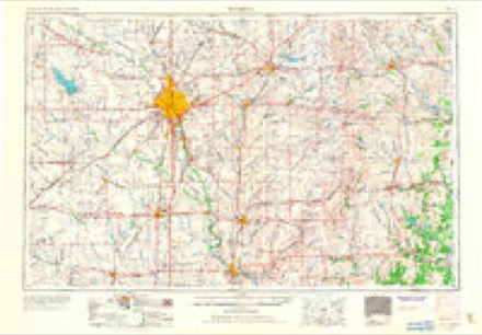
9 surveys from 19 printed sheetsMatched by testing this settlement's coordinate against the published boundary of every sheet in the United States Geological Survey's historical collection. Each opens the scanned sheet at the Survey.
- 1889 USGS Wichita quadrangle1:125000
- 1894 USGS Wichita quadrangle1:125000, 5 printings
- 1945 USGS Andover quadrangle1:31680, 2 printings
- 1955 USGS Wichita quadrangle1:250000, 3 printings
- 1956 USGS Andover quadrangle1:24000
- 1958 USGS Wichita quadrangle1:250000
- 1961 USGS Andover quadrangle1:24000, 4 printings
- 1985 USGS Wichita quadrangle1:100000
- 1990 USGS Wichita quadrangle1:100000

Fires near this place
152 since 2015Regional context, not property-specific evidence. The federal wildfire occurrence database lists 152 fires within 5 miles of Andover between 2015 and 2020, burning about 493 acres in total. 1 started naturally. 4 were recorded as arson. Distance is straight-line from the map coordinates, so a fire counted here may appear on a neighbouring settlement's page as well.
| Reported cause | Fires |
|---|---|
| Missing data/not specified/undetermined | 89 |
| Debris and open burning | 33 |
| Equipment and vehicle use | 10 |
| Smoking | 7 |
| Power generation/transmission/distribution | 4 |
| Arson/incendiarism | 4 |
| Recreation and ceremony | 1 |
| Other causes | 1 |
| Fireworks | 1 |
| Misuse of fire by a minor | 1 |
| Natural | 1 |
The most recent of them, most recent first, with the day each was reported and the service that recorded it.
| Date | Cause | Size | Reported by | Name on the report |
|---|---|---|---|---|
| 7 September 2017 | Power generation/transmission/distribution | under an acre | Butler County | 1127 |
| 6 September 2017 | Power generation/transmission/distribution | under an acre | Butler County | 1122 |
| 5 September 2017 | Missing data/not specified/undetermined | under an acre | Sedgwick County | 51352 |
| 30 September 2017 | Fireworks | under an acre | Butler County | 1219 |
| 19 September 2017 | Missing data/not specified/undetermined | under an acre | Sedgwick County | 54164 |
| 18 September 2017 | Missing data/not specified/undetermined | under an acre | Butler County | 1168 |
| 14 September 2017 | Missing data/not specified/undetermined | under an acre | Butler County | 1159 |
| 22 August 2017 | Missing data/not specified/undetermined | under an acre | Butler County | 1065 |
Settlements close enough to share some of these fires:
Storms near this place
60 of 151 shownRegional context, not property-specific evidence. The National Weather Service names Andover in 151 storm reports between 1993 and 2026: 84 hail, 47 thunderstorm wind, 10 flash flood, 6 flood. The reports record 4 injuries. Each account below is quoted exactly as the forecast office filed it, from the NOAA Storm Events Database, and each date opens the federal record of that event.
| When | Event | Place named | Harm | What the report says |
|---|---|---|---|---|
| July 2024 | Thunderstorm Wind | Andover | 3 hurt | Broadcast media reported a fireworks tent blown over with three injuries. The injury information was confirmed with emergency management. |
| April 2022 | Tornado (EF3) | Andover | 1 hurt, $37,000,000 | A highly visible tornado tracked across portions of Andover, Kansas, during the early evening hours of April 29th, 2022. The tornado went through a highly populated portion of town, including 2 different subdivisions. Also a health club took a direct hit, but no injuries occurred due to actions taken by the health club. Only 1 direct injury occurred from the tornado, with 3 indirect injuries occurred during search and rescue operations. Total damaged house or destroyed structures in Andover and rural Butler County were 205. Of the damaged properties, approximately 180 were residences and the rest were businesses or city buildings. Damage estimates were around $37 million. |
| July 2009 | Hail | Andover | $2,500,000 | The same hail storm that devastated Downtown Wichita, Kansas continued to track east and produced large hail ranging from golf ball to baseball size, across western sections of Butler county including the cities of Andover and Augusta along US Highway 54. Witnesses report that the hail lasted for almost a half an hour, causing damage to hundreds of vehicles with numerous roofs and windows damaged. |
| October 2007 | Thunderstorm Wind | Andover | $1,000,000 | Straight line winds caused extensive damage to a business. The business was a large span, morton type building with metal siding and roofs. Four large garage doors were blown in and the roof was partially removed. Cold storage lockers in the parking lot were thrown 20 to 40 feet. Some power lines were also knocked down. No injuries occurred, due to the plant employees being sent home earlier in the day due to a power ouutage. |
| July 2023 | Lightning | Andover | $50,000 | Fire and rescue reported a lightning strike caused a house fire. |
| April 2009 | Thunderstorm Wind | Andover | $25,000 | Five power poles were blown down along 10th Street and Mike Street. |
| May 2019 | Flash Flood | Andover | $20,000 | A water rescue occurred from a stranded motorist on the east side of town. |
| September 2003 | Flash Flood | Andover | $10,000 | Basements of 2 homes flooded. Extent of damage unknown, so initial damage estimate rough approximation until more details provided. |
| August 2001 | Thunderstorm Wind | Andover | $10,000 | Numerous power lines downed. |
| May 2012 | Thunderstorm Wind | Andover | $5,000 | Carport blown into a tree near Central Ave. and Andover Rd. |
| June 2000 | Thunderstorm Wind | Andover | $2,500 | Fireworks tents blown down along Highway 54. |
| June 2014 | Flood | Andover | $1,000 | Street flooding occurred on the north side of town with some flooding spreading into yards. |
| October 2013 | Thunderstorm Wind | Andover | $1,000 | A tree of 18 inches in diameter was uprooted onto a mobile home. |
| June 1994 | Thunderstorm Wind | Andover | $500 | Greater than 60 mph winds were reported by the fire department in Andover. Several four inch diameter trees were uprooted in Douglass. |
| October 1993 | Hail | Andover | $500 | no account filed |
| October 1993 | Hail | Andover | $500 | no account filed |
| July 2009 | Flood | Andover | $100 | A trained spotter reported six to eight inches of water flowing over the road at 110th and Prairie Creek. |
| June 2008 | Flood | Andover | $100 | Water was over Praire Creek road. |
| April 2026 | Hail | Andover | - | Report was relayed via emergency management. |
| July 2025 | Hail | Andover | - | KAKE meteorologist reported most of the hailstones were pea to penny sized, but there were a few quarter sized. The stones were melting quickly on contact with the ground. |
| July 2025 | Hail | Andover | - | Emergency manager reported quarter sized hail at Santa Fe Lake. |
| June 2025 | Thunderstorm Wind | Andover | - | Power lines were knocked down. |
| June 2025 | Thunderstorm Wind | Andover | - | Estimated 80 mph winds along with nickel sized hail. |
| June 2025 | Thunderstorm Wind | Andover | - | Measured wind gust from Augusta Municipal Airport. |
| June 2025 | Thunderstorm Wind | Andover | - | There were 2-foot diameter trees down. |
| May 2024 | Thunderstorm Wind | Andover | - | Winds were estimated to be around 60 mph. |
| July 2024 | Thunderstorm Wind | Andover | - | Public reported an estimated gust of 70 mph. |
| April 2024 | Hail | Andover | - | Quarter to golf ball sized hail reported in Andover over the course of at least 10 minutes. |
| June 2022 | Thunderstorm Wind | Andover | - | Roughly four inch limbs were broken off of a tree near Andover Road and Highway 400 courtesy of a picture sent via Twitter. |
| June 2021 | Thunderstorm Wind | Andover | - | Several power poles were blown down. |
| July 2021 | Thunderstorm Wind | Andover | - | Minor tree damage occurred via KAKE. |
| May 2020 | Hail | Andover | - | The stones were mainly penny size, but a few were quarter size. |
| June 2019 | Thunderstorm Wind | Andover | - | This was an estimated wind gust. Pea sized hail and torrential rain was also reported. |
| June 2019 | Flash Flood | Andover | - | One to two feet of water was swiftly flowing across Andover Rd. just south of Kellogg. |
| August 2019 | Thunderstorm Wind | Andover | - | An 8 inch diameter tree limb fell down onto a car. |
| August 2019 | Thunderstorm Wind | Andover | - | A fence was blown over at 13th and Andover road. |
| June 2017 | Thunderstorm Wind | Andover | - | Nickel sized hail was also reported. |
| March 2017 | Flood | Andover | - | Barricades were positioned on 159th Street south of Highway 54/400. |
| June 2017 | Flood | Andover | - | The Dry Creek overflowed, flooding the road near the SW 50th/Tawakoni Rd Intersection to a depth of 3 feet. |
| June 2017 | Thunderstorm Wind | Andover | - | The speeds ranged from 50 to 60 mph 1 mile north of Highway 400. |
| August 2017 | Thunderstorm Wind | Andover | - | Large tree limbs were reported blown down. |
| July 2016 | Thunderstorm Wind | Andover | - | Speeds were estimated between 60 and 70 mph. |
| April 2015 | Thunderstorm Wind | Andover | - | The gusts were reported via KAKE TV. |
| May 2014 | Hail | Andover | - | The report was relayed via twitter. |
| May 2013 | Thunderstorm Wind | Andover | - | Wind report was estimated. |
| July 2013 | Thunderstorm Wind | Andover | - | No damage was reported. |
| February 2012 | Thunderstorm Wind | Andover | - | A roof was torn off of a building and some cars were moved while parked in a lot. |
| April 2012 | Tornado (EF0) | Andover | - | Large tornado moved over open country and did not cause any damage. |
| May 2012 | Thunderstorm Wind | Andover | - | Andover Fire Department reported 60 to 70 mph winds. |
| May 2012 | Hail | Andover | - | Occurred on Butler Rd. |
| May 2012 | Hail | Andover | - | Occurred at Kellogg/Andover Rd. intersection. |
| February 2012 | Thunderstorm Wind | Andover | - | Tree limbs measuring eight to ten inches in diameter were snapped off. |
| June 2011 | Thunderstorm Wind | Andover | - | Estimated gust reported by a trained spotter. |
| July 2011 | Thunderstorm Wind | Andover | - | Measured by a KSN Weatherlab. |
| June 2011 | Thunderstorm Wind | Andover | - | Winds were estimated around 70 mph. |
| July 2010 | Hail | Andover | - | Hail size ranged from nickel to quarter size. |
| May 2008 | Flood | Andover | - | Dry creek was reported out of its banks. |
| April 2006 | Hail | Andover | - | Reported at the fire station. |
| September 2003 | Flash Flood | Andover | - | Meadowlark Elementary flooded. School closed. |
| September 2003 | Flash Flood | Andover | - | Woman trapped in car at East Central/159th Street intersection near Terradyne Country Club. Rescue required. |
Nearest settlements
The eight closest, with where each one stands in the county. Distances are straight-line, computed from the Geographic Names Information System coordinates.
| Map | Place | Distance | Sheets |
|---|---|---|---|
| Sunset Acres | 0.9 miles | 19 | |
| Prairie Village | 1.0 miles | 19 | |
| Midway | 2.4 miles | 19 | |
| Mecca Acres | 2.7 miles | 19 | |
| Lakeview Heights | 3.1 miles | 19 | |
| Lorena | 3.1 miles | 15 | |
| Benton | 5.4 miles | 15 | |
| Salter | 8.4 miles | 16 |
Elsewhere
Matched on this settlement's Geographic Names Information System number rather than its name, so it cannot be a different place of the same name in another state.
| Wikipedia article on Andover | An encyclopaedic summary. Its text is share-alike, so it is linked here rather than copied. |
| Wikidata item Q492811 | The structured record the population and elevation above come from. Public domain (CC0). |
Provenance
This settlement is recorded in the Geographic Names Information System as feature 474204. The sheet list is computed by point-in-boundary test against the United States Geological Survey's historical topographic inventory. Both are works of the United States government and carry no copyright under 17 U.S.C. 105.
Wildfire. Short, Karen C. 2022. Spatial wildfire occurrence data for the United States, 1992-2020 [FPA_FOD_20221014]. 6th Edition. Fort Collins, CO: Forest Service Research Data Archive. https://doi.org/10.2737/RDS-2013-0009.6 Collected with United States Government funding and usable without additional permissions or fees.
Storms. NOAA National Centers for Environmental Information, Storm Events Database https://www.ncei.noaa.gov/stormevents/ A work of the United States government, no copyright under 17 U.S.C. 105. Narratives are quoted verbatim from the National Weather Service report and are not edited or summarised.