 Block
Ash Valley, Kansas
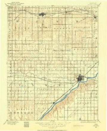
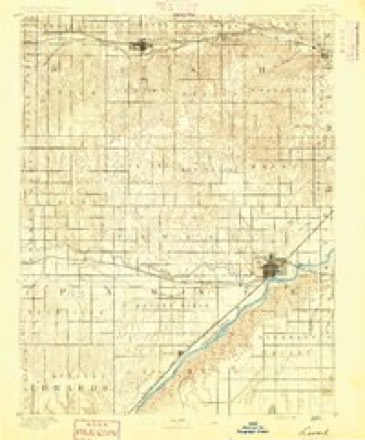
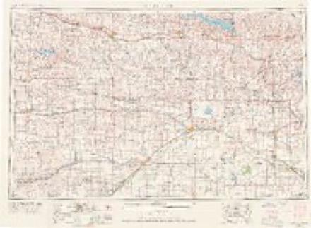
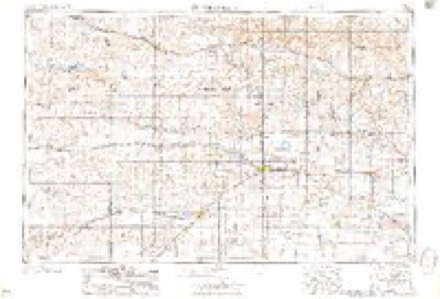
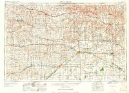
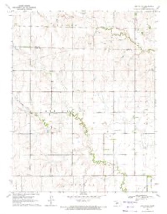
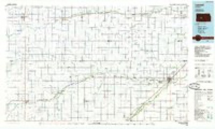
15 topographic sheets cover this place, the earliest surveyed in 1889 and the latest in 1985. It stands in Ash Valley Township. It lies in ZIP code area 67550. The Survey maps it on the Ash Valley quadrangle.
Topographic sheets covering this place
7 surveys from 15 printed sheetsMatched by testing this settlement's coordinate against the published boundary of every sheet in the United States Geological Survey's historical collection. Each opens the scanned sheet at the Survey.
- 1889 USGS Larned quadrangle1:125000
- 1891 USGS Larned quadrangle1:125000, 5 printings
- 1955 USGS Great Bend quadrangle1:250000, 3 printings
- 1957 USGS Great Bend quadrangle1:250000
- 1958 USGS Great Bend quadrangle1:250000, 2 printings
- 1970 USGS Ash Valley quadrangle1:24000
- 1985 USGS Larned quadrangle1:100000, 2 printings
Storms near this place
60 of 69 shownRegional context, not property-specific evidence. The National Weather Service names Ash Valley in 69 storm reports between 1996 and 2024: 46 hail, 11 thunderstorm wind, 7 heavy rain, 4 flood. No death or injury is recorded in these reports. Each account below is quoted exactly as the forecast office filed it, from the NOAA Storm Events Database, and each date opens the federal record of that event.
| When | Event | Place named | Harm | What the report says |
|---|---|---|---|---|
| July 2007 | Hail | Ash Valley | $15,000 | The hail did quite a bit of damage to vehicles at this location. |
| September 2018 | Heavy Rain | Ash Valley | - | Rainfall of 2.87 inches was measured. |
| July 2018 | Thunderstorm Wind | Ash Valley | - | Several 4 to 5 inch diameter limbs were broken by the high wind. |
| June 2015 | Hail | Ash Valley | - | This was the second occurrence of quarter sized hail at this location. |
| June 2015 | Heavy Rain | Ash Valley | - | The rain fell in 2 hours and caused extensive basement flooding. The rain gauge overfilled at the 5 1/2 inch mark. |
| June 2015 | Heavy Rain | Ash Valley | - | Four inches of rain fell in 2 hours. Several county roads were under water (and into the next day). At one point the Dry Walnut Creek was flowing over the bridge. |
| June 2015 | Heavy Rain | Ash Valley | - | Rainfall of 4.5 inches fell in 2 hours. |
| June 2015 | Hail | Ash Valley | - | There were several episodes of damaging hail at this location. The corn crop was shredded and the wheat was at least 50 percent destroyed. |
| May 2013 | Tornado (EF0) | Ash Valley | - | This cone tornado was the third in a series but only lasted for a short time. No damage was observed. |
| May 2013 | Thunderstorm Wind | Ash Valley | - | Six to eight inch diameter tree limbs were blown down by the high wind. |
| November 2012 | Thunderstorm Wind | Ash Valley | - | Winds were estimated to be 70 MPH. |
| May 2009 | Heavy Rain | Ash Valley | - | Rainfall of 3.40 was recorded at a location 4 miles east of Ash Valley. |
| June 2009 | Flood | Ash Valley | - | Water was over the road about a foot in depth across a wide area. |
| June 2009 | Flood | Ash Valley | - | Some county roads had been under water including T road between 120th and 130th. Water had been over 155th but had since receded. |
| June 2009 | Flood | Ash Valley | - | Numerous secondary county roads were under water from near Pawnee Rock to 5 miles west of Larned. Some roads had as much as 4 feet of water covering them. |
| June 2009 | Heavy Rain | Ash Valley | - | Rainfall of 2.75 inches was reported. |
| June 2009 | Flood | Ash Valley | - | Ash Creek had risen 25 inches in the previous hours (and still rising) and was out of it's banks. |
| July 2008 | Heavy Rain | Ash Valley | - | Rainfall of 3.20 fell. |
| August 2007 | Thunderstorm Wind | Ash Valley | - | Two inch diameter live limbs were blown down. |
| August 2007 | Thunderstorm Wind | Ash Valley | - | Two inch diameter tree limbs were blown down. |
| June 2024 | Thunderstorm Wind | Ash Valley | - | no account filed |
| May 2024 | Hail | Ash Valley | - | no account filed |
| May 2023 | Hail | Ash Valley | - | no account filed |
| May 2023 | Hail | Ash Valley | - | no account filed |
| May 2023 | Hail | Ash Valley | - | no account filed |
| April 2022 | Hail | Ash Valley | - | no account filed |
| April 2021 | Hail | Ash Valley | - | no account filed |
| April 2021 | Hail | Ash Valley | - | no account filed |
| April 2021 | Hail | Ash Valley | - | no account filed |
| August 2021 | Hail | Ash Valley | - | no account filed |
| June 2020 | Hail | Ash Valley | - | no account filed |
| July 2018 | Hail | Ash Valley | - | no account filed |
| June 2017 | Hail | Ash Valley | - | no account filed |
| October 2017 | Hail | Ash Valley | - | no account filed |
| May 2016 | Hail | Ash Valley | - | no account filed |
| April 2015 | Hail | Ash Valley | - | no account filed |
| June 2015 | Hail | Ash Valley | - | no account filed |
| June 2015 | Hail | Ash Valley | - | no account filed |
| July 2015 | Thunderstorm Wind | Ash Valley | - | no account filed |
| July 2015 | Hail | Ash Valley | - | no account filed |
| August 2014 | Hail | Ash Valley | - | no account filed |
| August 2013 | Hail | Ash Valley | - | no account filed |
| August 2013 | Hail | Ash Valley | - | no account filed |
| August 2011 | Hail | Ash Valley | - | no account filed |
| August 2011 | Hail | Ash Valley | - | no account filed |
| May 2011 | Hail | Ash Valley | - | no account filed |
| March 2011 | Hail | Ash Valley | - | no account filed |
| April 2010 | Hail | Ash Valley | - | no account filed |
| June 2009 | Hail | Ash Valley | - | no account filed |
| June 2009 | Hail | Ash Valley | - | no account filed |
| June 2009 | Hail | Ash Valley | - | no account filed |
| April 2009 | Hail | Ash Valley | - | no account filed |
| June 2007 | Thunderstorm Wind | Ash Valley | - | no account filed |
| May 2007 | Thunderstorm Wind | Ash Valley | - | no account filed |
| May 2007 | Hail | Ash Valley | - | no account filed |
| May 2007 | Hail | Ash Valley | - | no account filed |
| June 2005 | Hail | Ash Valley | - | no account filed |
| May 2002 | Hail | Ash Valley | - | no account filed |
| August 2002 | Hail | Ash Valley | - | no account filed |
| May 2001 | Hail | Ash Valley | - | no account filed |
Nearest settlements
The eight closest, with where each one stands in the county. Distances are straight-line, computed from the Geographic Names Information System coordinates.
Provenance
This settlement is recorded in the Geographic Names Information System as feature 475732. The sheet list is computed by point-in-boundary test against the United States Geological Survey's historical topographic inventory. Both are works of the United States government and carry no copyright under 17 U.S.C. 105.
Storms. NOAA National Centers for Environmental Information, Storm Events Database https://www.ncei.noaa.gov/stormevents/ A work of the United States government, no copyright under 17 U.S.C. 105. Narratives are quoted verbatim from the National Weather Service report and are not edited or summarised.