 Block
Atchison, Kansas
32 topographic sheets cover this place, the earliest surveyed in 1885 and the latest in 1990. It stands in Atchison City. It lies in ZIP code area 66002. It stands on White Clay Creek. The Survey maps it on the Atchison East quadrangle. 10,885 people lived here at the 2020 count. It stands 814 feet above sea level.
Research this city
On record in Atchison
Buildings and businesses the archive holds for this place. Each opens its own page, with the source record it came from.
On the National Register 12 of 48 shown
 Atchinson Santa Fe Freight Depotlisted 2001
 Atchison County Courthouselisted 1975
 Atchison County Memorial Halllisted 2007
 Atchison Post Officelisted 1972
 Francis and Harriet Baker Houselisted 2003
 George T. and Minnie Searles Bolman Houselisted 2006
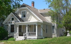 Henry Braun Houselisted 2006
 J. P. Brown Houselisted 1975
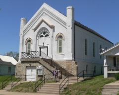 Campbell Chapel AME Churchlisted 2003
 Amelia Earhart Birthplacelisted 1971
 Amelia Earhart Historic Districtlisted 2002
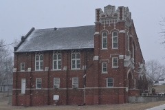 Ebenezer Baptist Churchlisted 2005
Population over time
2 figuresAtchison fell from 11,021 to 10,885 between 2010 and 2020. These are the recorded population figures Wikidata holds for this place, reached through the Geographic Names Information System number this page is keyed on rather than by name, so they belong to this place and not to another of the same name. Most are census counts, but not all are: an early figure may be a founding or settlement estimate, and an estimate published within five years of a census is left out. The change column is computed, and is left blank where more than 20 years separate a figure from the one before it, because a gap that long is not a change between two counts.
| Year | People | Change |
|---|---|---|
| 2010 | 11,021 | |
| 2020 | 10,885 | -136 (-1%) |
Topographic sheets covering this place
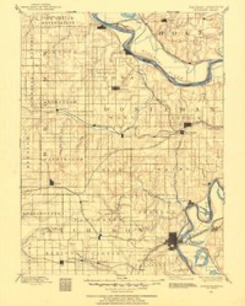
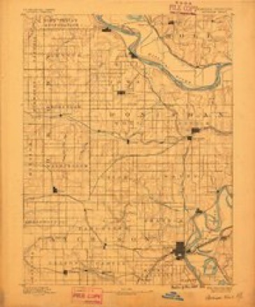
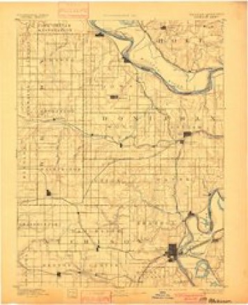
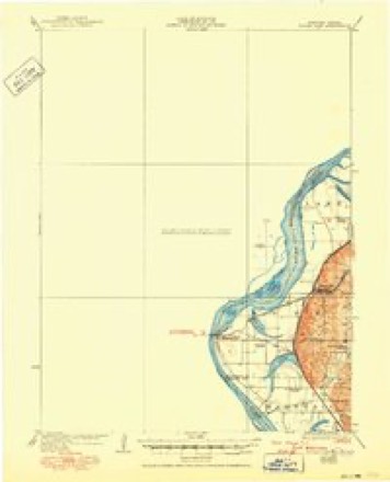
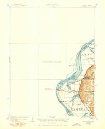
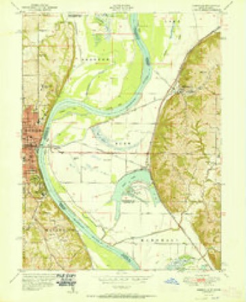
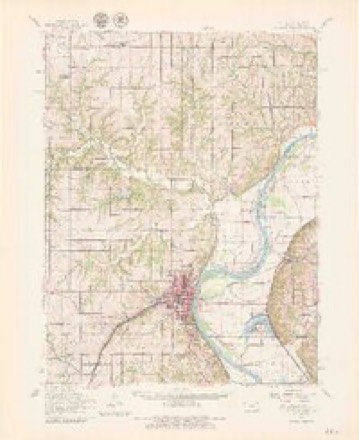
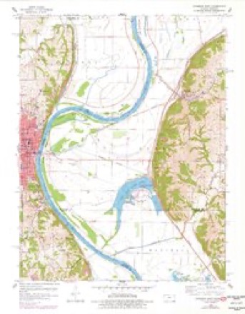
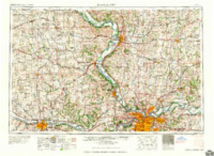
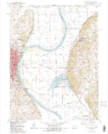
15 surveys from 32 printed sheetsMatched by testing this settlement's coordinate against the published boundary of every sheet in the United States Geological Survey's historical collection. Each opens the scanned sheet at the Survey.
- 1885 USGS Atchison quadrangle1:125000
- 1888 USGS Atchison quadrangle1:125000
- 1893 USGS Atchison quadrangle1:125000, 5 printings
- 1926 USGS Atchison quadrangle1:62500
- 1926 USGS Sugar Lake quadrangle1:62500, 4 printings
- 1950 USGS Kansas City quadrangle1:250000
- 1951 USGS Rushville quadrangle1:24000, 2 printings
- 1954 USGS Kansas City quadrangle1:250000
- 1956 USGS Kansas City quadrangle1:250000, 4 printings
- 1960 USGS Atchison quadrangle1:62500, 2 printings
- 1960 USGS Atchison East quadrangle1:24000, 3 printings
- 1960 USGS Kansas City quadrangle1:250000, 3 printings
- 1984 USGS Atchison East quadrangle1:24000, 2 printings
- 1985 USGS Atchison quadrangle1:100000
- 1990 USGS Atchison quadrangle1:100000
Fires near this place
21 since 2005Regional context, not property-specific evidence. The federal wildfire occurrence database lists 21 fires within 5 miles of Atchison between 2005 and 2018, burning about 58 acres in total. 1 started naturally. 6 were recorded as arson. Distance is straight-line from the map coordinates, so a fire counted here may appear on a neighbouring settlement's page as well.
| Reported cause | Fires |
|---|---|
| Missing data/not specified/undetermined | 8 |
| Arson/incendiarism | 6 |
| Debris and open burning | 3 |
| Smoking | 3 |
| Natural | 1 |
The most recent of them, most recent first, with the day each was reported and the service that recorded it.
| Date | Cause | Size | Reported by | Name on the report |
|---|---|---|---|---|
| 11 September 2015 | Arson/incendiarism | under an acre | Kansas Forest Service | 150750 |
| 8 August 2018 | Arson/incendiarism | under an acre | Kansas Forest Service | 180751 |
| 10 August 2008 | Missing data/not specified/undetermined | 1.0 acres | Atchison County | not named |
| 6 July 2018 | Smoking | under an acre | Kansas Forest Service | 180648 |
| 15 June 2017 | Arson/incendiarism | under an acre | Atchison County | 170536 |
| 13 May 2018 | Missing data/not specified/undetermined | under an acre | Kansas Forest Service | 180432 |
| 15 April 2008 | Arson/incendiarism | 1.0 acres | Atchison County | not named |
| 13 April 2018 | Arson/incendiarism | under an acre | Kansas Forest Service | 180317 |
Settlements close enough to share some of these fires:
Storms near this place
60 of 62 shownRegional context, not property-specific evidence. The National Weather Service names Atchison in 62 storm reports between 1995 and 2025: 27 hail, 22 thunderstorm wind, 8 flood, 2 flash flood. No death or injury is recorded in these reports. Each account below is quoted exactly as the forecast office filed it, from the NOAA Storm Events Database, and each date opens the federal record of that event.
| When | Event | Place named | Harm | What the report says |
|---|---|---|---|---|
| March 2019 | Flood | Atchison | $100,000 | Once the Missouri River started flooding on March 9, it remained in flood through the remainder of the month. The gauge in St. Joseph, Missouri reached 32.12 feet on March 22 (preliminarily a new record). The flooding was caused by several rounds of heavy snow across the Northern Plains through the winter months, followed by a rapid warm-up and several days of heavy rain. The Missouri River Basin across the Northern Plains flooded with catastrophic consequences as numerous dams and levees failed. As the water flowed into the Missouri River upstream of Buchanan County, the river swelled and ultimately overwhelmed the levees along the river. Local fields were also submerged, which delayed the growing season in the region, but several roads were washed away across Atchison County, and I-29 from St. Joseph northward to the Iowa/Missouri border was closed until mid May. Note: The dollar valued assigned to this event is likely inaccurate as a full tally of the extent of the physical damages is unknown. The Missouri River remained in flood through the rest of the month, into April. |
| March 2006 | Hail | Atchison | $50,000 | no account filed |
| March 2006 | Hail | Atchison | $25,000 | no account filed |
| July 2000 | Lightning | Atchison | $22,000 | A lightning strike sparked a house fire. Damage was estimated at $22,000. |
| June 2009 | Thunderstorm Wind | Atchison | $5,000 | Tractor trailers were overturned, and rail cars were blown over. Trees were also reported down. |
| June 2011 | Thunderstorm Wind | Atchison | $2,000 | Trees were reported blown down, with one falling on a car. Thunderstorm wind gusts were estimated up to 60 mph. |
| July 1995 | Thunderstorm Wind | Atchison | $1,000 | A severe thunderstorm moved through Atchison County. 60 mph winds were observed at Muscotah and trees were down in Atchison and in Effingham. |
| June 2008 | Thunderstorm Wind | Atchison | $500 | Three large oak trees were blown down and a high school goal post was blown over. |
| May 2025 | Hail | Atchison | - | Quarter sized hail reported in Atchison. |
| May 2025 | Thunderstorm Wind | Atchison | - | Downed wires and power outages in the Atchison area. |
| May 2024 | Thunderstorm Wind | Atchison | - | Tree uprooted near 5th street and T street. |
| April 2023 | Thunderstorm Wind | Atchison | - | Large tree limbs reported down across Atchison. |
| April 2023 | Hail | Atchison | - | Quarter sized hail was reported in Atchison. |
| June 2023 | Thunderstorm Wind | Atchison | - | Casey's General Store employee estimated 70 mph winds through Atchison. |
| April 2019 | Flood | Atchison | - | Ongoing flooding along the Missouri River continued through the month of April and into May. Several roads were closed near the banks of the Missouri River. This flooding began in mid March and due to upstream releases and continued periods of heavy rain the flooding continued into May. Monetary damages are unknown despite the entry indicating 0 dollars of damages. |
| June 2019 | Flood | Atchison | - | Heavy spring rains caused ongoing flooding along the Missouri River to Continue through the month. Some locations along the Missouri River experienced major flooding at times during the month. Damage estimates from roads washed out and crop damage are unknown at this time. |
| May 2019 | Flood | Atchison | - | Heavy spring rains caused ongoing flooding along the Missouri River to Continue through the month. Some locations along the Missouri River experienced major flooding at times during the month. Damage estimates from roads washed out and crop damage are unknown at this time. |
| June 2017 | Thunderstorm Wind | Atchison | - | An Emergency Manager near Atchison reported a 60 mph wind gust. |
| May 2016 | Hail | Atchison | - | This report was gathered via social media. |
| July 2016 | Thunderstorm Wind | Atchison | - | A tree of unknown size or condition was down in Atchison. |
| May 2013 | Thunderstorm Wind | Atchison | - | Thunderstorm wind gusts were estimated up to 60 mph. |
| August 2010 | Thunderstorm Wind | Atchison | - | Thunderstorm wind gusts were estimated up to 60 mph, with tree limbs down. |
| August 2010 | Thunderstorm Wind | Atchison | - | Thunderstorm wind gusts were estimated up to 70 mph. |
| August 2010 | Thunderstorm Wind | Atchison | - | Thunderstorm wind gusts were estimated up to 60 mph. |
| June 2010 | Thunderstorm Wind | Atchison | - | Thunderstorm winds gusted to an estimated 65 mph. Numerous trees were reported down in the city, blocking roads and causing power outages. |
| June 2010 | Thunderstorm Wind | Atchison | - | Gust to 58 mph was measured at the Amelia Earhart Airport. |
| May 2008 | Flood | Atchison | - | The Missouri River at Atchison crested at 23.40 feet, or 1.40 feet above flood stage. |
| June 2008 | Thunderstorm Wind | Atchison | - | Law enforcement relayed a report of a couple of trees blown over. One of the trees was three feet in diameter. |
| May 2007 | Flood | Atchison | - | The Missouri River at Atchison crested at 23.07 feet, or 1.07 feet above flood stage. |
| May 2007 | Flood | Atchison | - | The Missouri River at Atchison crested at 29.15 feet, or 7.15 feet above flood stage. |
| October 2007 | Flood | Atchison | - | The Missouri River at Atchison crested at 23.35 feet, or 1.35 feet above flood stage. |
| April 2005 | Tornado (F0) | Atchison | - | Brief tornado touchdown wrapped in rain, photographed by storm chaser in open country. |
| April 2005 | Tornado (F0) | Atchison | - | Tornado videotaped by storm chaser and observed by Leavenworth Co. EMA in open country. |
| June 2001 | Flash Flood | Atchison | - | Numerous roads remain flooded across the county. |
| June 2001 | Flash Flood | Atchison | - | Flooding continues across the county with numerous roads closed. |
| May 2000 | Thunderstorm Wind | Atchison | - | Storm spotters estimated wind gusts at 70 mph. |
| July 2000 | Thunderstorm Wind | Atchison | - | Thunderstorm winds downed a maple tree 12 inches in diameter. |
| August 2000 | Thunderstorm Wind | Atchison | - | The sheriff's department reported downed trees and power lines blocking roads. |
| September 1998 | Hail | Atchison | - | Dime-size hail was reported by the Atchison County Sheriff's Office at the intersection of Highway 59 and 262nd Road. This location is approximately 5 miles southwest of Atchison. |
| June 1998 | Hail | Atchison | - | The Atchison County Sheriif's Office reported dime-size hail during a severe thunderstorm 8 miles south of Atchison. |
| June 1998 | Thunderstorm Wind | Atchison | - | Tree limbs, 4 inches in diameter, were reported blown down along River road in Atchison by the sheriff's office. |
| August 2018 | Hail | Atchison | - | no account filed |
| March 2015 | Hail | Atchison | - | no account filed |
| April 2015 | Hail | Atchison | - | no account filed |
| May 2014 | Hail | Atchison | - | no account filed |
| August 2012 | Hail | Atchison | - | no account filed |
| April 2011 | Hail | Atchison | - | no account filed |
| May 2010 | Hail | Atchison | - | no account filed |
| June 2009 | Hail | Atchison | - | no account filed |
| June 2009 | Hail | Atchison | - | no account filed |
| May 2009 | Hail | Atchison | - | no account filed |
| March 2006 | Hail | Atchison | - | no account filed |
| October 2005 | Hail | Atchison | - | no account filed |
| October 2005 | Hail | Atchison | - | no account filed |
| May 2004 | Hail | Atchison | - | no account filed |
| August 2004 | Hail | Atchison | - | no account filed |
| June 2002 | Hail | Atchison | - | no account filed |
| May 2001 | Thunderstorm Wind | Atchison | - | no account filed |
| May 2000 | Hail | Atchison | - | no account filed |
| June 2000 | Hail | Atchison | - | no account filed |
Nearest settlements
The eight closest, with where each one stands in the county. Distances are straight-line, computed from the Geographic Names Information System coordinates.
| Map | Place | Distance | Sheets |
|---|---|---|---|
| Dalbey | 5.1 miles | 26 | |
| Good Intent | 5.7 miles | 27 | |
| Saint Pats | 5.9 miles | 26 | |
| Parnell | 6.0 miles | 27 | |
| Shannon | 6.5 miles | 27 | |
| Hawthorne | 7.7 miles | 21 | |
| Port Williams | 8.7 miles | 26 | |
| Potter | 9.5 miles | 21 |
Elsewhere
Matched on this settlement's Geographic Names Information System number rather than its name, so it cannot be a different place of the same name in another state.
| Wikipedia article on Atchison | An encyclopaedic summary. Its text is share-alike, so it is linked here rather than copied. |
| Wikidata item Q753949 | The structured record the population and elevation above come from. Public domain (CC0). |
Provenance
This settlement is recorded in the Geographic Names Information System as feature 473516. The sheet list is computed by point-in-boundary test against the United States Geological Survey's historical topographic inventory. Both are works of the United States government and carry no copyright under 17 U.S.C. 105.
Wildfire. Short, Karen C. 2022. Spatial wildfire occurrence data for the United States, 1992-2020 [FPA_FOD_20221014]. 6th Edition. Fort Collins, CO: Forest Service Research Data Archive. https://doi.org/10.2737/RDS-2013-0009.6 Collected with United States Government funding and usable without additional permissions or fees.
Storms. NOAA National Centers for Environmental Information, Storm Events Database https://www.ncei.noaa.gov/stormevents/ A work of the United States government, no copyright under 17 U.S.C. 105. Narratives are quoted verbatim from the National Weather Service report and are not edited or summarised.