 Block
Brownville, Kansas
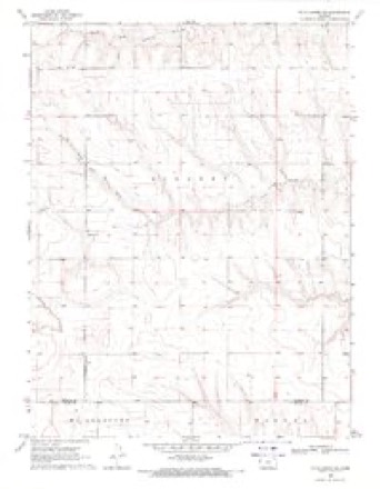
7 topographic sheets cover this place, the earliest surveyed in 1954 and the latest in 1985. It stands in Kingery Township. It lies in ZIP code area 67732. The Survey maps it on the McAllaster NE quadrangle.
Topographic sheets covering this place
5 surveys from 7 printed sheetsMatched by testing this settlement's coordinate against the published boundary of every sheet in the United States Geological Survey's historical collection. Each opens the scanned sheet at the Survey.
- 1954 USGS Goodland quadrangle1:250000
- 1956 USGS Goodland quadrangle1:250000
- 1957 USGS Goodland quadrangle1:250000, 2 printings
- 1969 USGS Mc Allaster NE quadrangle1:24000
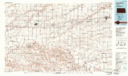
- 1985 USGS Goodland quadrangle1:100000, 2 printings



Storms near this place
31 since 2010Regional context, not property-specific evidence. The National Weather Service names Brownville in 31 storm reports between 2010 and 2025: 15 hail, 9 tornado, 6 thunderstorm wind, 1 flash flood. No death or injury is recorded in these reports. Each account below is quoted exactly as the forecast office filed it, from the NOAA Storm Events Database, and each date opens the federal record of that event.
| When | Event | Place named | Harm | What the report says |
|---|---|---|---|---|
| July 2021 | Thunderstorm Wind | Brownville | $1,500 | After the storms moved through western Thomas County, winds strengthened enough to snap a large redwood swing-set in half and toss a hay bale on top of a parked vehicle on the property. |
| September 2010 | Thunderstorm Wind | Brownville | $1,000 | Siding on the east side of a house was damaged. |
| June 2019 | Flash Flood | Brownville | $1,000 | no account filed |
| June 2025 | Thunderstorm Wind | Brownville | - | An estimated 60 mph wind gust by the public. |
| May 2023 | Hail | Brownville | - | Mostly dime sized hail was reported with a few quarter sized hailstones mixed in. |
| July 2023 | Thunderstorm Wind | Brownville | - | Report of estimated 60 mph wind gusts. |
| April 2022 | Tornado (EF0) | Brownville | - | The tornado that formed in northern Logan County, confirmed by an emergency management damage report of a power pole down and tornadic debris signature detected on NWS Goodland WSR 88D, continued into extreme southern Thomas County. No damage was reported in this very rural area. Times estimated by radar. This tornado was a Quasi-Linear Convective System (QLCS) tornado. |
| July 2022 | Tornado (EFU) | Brownville | - | Landspout reported east southeast of Goodland, Kansas. Employee was on I-70 looking east southeast. Location estimated by radar. |
| July 2022 | Tornado (EFU) | Brownville | - | Off-duty NWS employee reported a brief landspout near his location. |
| July 2022 | Tornado (EFU) | Brownville | - | Off-duty NWS Employee reported two brief, coincident landspouts. This is second first tornado and its location as estimated by radar. |
| July 2022 | Tornado (EFU) | Brownville | - | Off-duty NWS Employee reported two brief, coincident landspouts. This is the first tornado and its location as estimated by radar. |
| May 2021 | Tornado (EFU) | Brownville | - | Small short-lived tornado reported by trained spotter. Radar used for more accurate location estimate. |
| May 2019 | Hail | Brownville | - | Up to ping pong ball sized hail reported via Facebook. |
| June 2019 | Hail | Brownville | - | Hail at least 2 inches in diameter occurred about 10 miles south of Brewster, KS near County Road C. |
| June 2016 | Thunderstorm Wind | Brownville | - | Wind gusts were estimated at between 50 and 60 mph. |
| May 2010 | Tornado (EF0) | Brownville | - | Storm chaser reported a cone-shaped tornado. No damage was observed. |
| September 2010 | Tornado (EF0) | Brownville | - | The tornado remained over open fields with no known damage. |
| September 2010 | Tornado (EF0) | Brownville | - | A brief tornado was reported by a storm chaser. The tornado remained over open fields with no known damage. |
| May 2023 | Hail | Brownville | - | no account filed |
| August 2021 | Hail | Brownville | - | no account filed |
| July 2020 | Hail | Brownville | - | no account filed |
| June 2019 | Hail | Brownville | - | no account filed |
| June 2019 | Hail | Brownville | - | no account filed |
| June 2019 | Hail | Brownville | - | no account filed |
| June 2019 | Hail | Brownville | - | no account filed |
| May 2017 | Hail | Brownville | - | no account filed |
| May 2017 | Hail | Brownville | - | no account filed |
| September 2016 | Thunderstorm Wind | Brownville | - | no account filed |
| May 2012 | Hail | Brownville | - | no account filed |
| May 2011 | Hail | Brownville | - | no account filed |
| September 2010 | Hail | Brownville | - | no account filed |
Nearest settlements
The eight closest, with where each one stands in the county. Distances are straight-line, computed from the Geographic Names Information System coordinates.
Provenance
This settlement is recorded in the Geographic Names Information System as feature 484552. The sheet list is computed by point-in-boundary test against the United States Geological Survey's historical topographic inventory. Both are works of the United States government and carry no copyright under 17 U.S.C. 105.
Storms. NOAA National Centers for Environmental Information, Storm Events Database https://www.ncei.noaa.gov/stormevents/ A work of the United States government, no copyright under 17 U.S.C. 105. Narratives are quoted verbatim from the National Weather Service report and are not edited or summarised.