 Block
Covert, Kansas
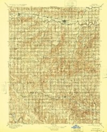
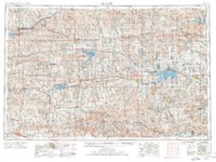
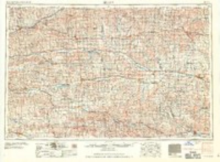
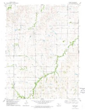
13 topographic sheets cover this place, the earliest surveyed in 1896 and the latest in 1985. It stands in Covert Township. It lies in ZIP code area 67473. The Survey maps it on the Covert quadrangle. It stands 1,762 feet above sea level.
Topographic sheets covering this place
5 surveys from 13 printed sheetsMatched by testing this settlement's coordinate against the published boundary of every sheet in the United States Geological Survey's historical collection. Each opens the scanned sheet at the Survey.
- 1896 USGS Osborne quadrangle1:125000, 4 printings
- 1955 USGS Beloit quadrangle1:250000, 3 printings
- 1959 USGS Beloit quadrangle1:250000, 3 printings
- 1978 USGS Covert quadrangle1:24000
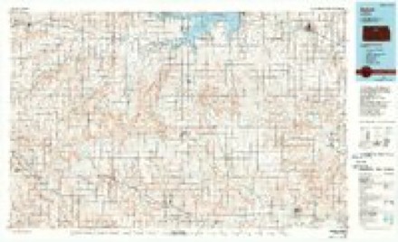
- 1985 USGS Beloit quadrangle1:100000, 2 printings
Storms near this place
46 since 1994Regional context, not property-specific evidence. The National Weather Service names Covert in 46 storm reports between 1994 and 2025: 35 hail, 6 thunderstorm wind, 4 heavy rain, 1 tornado. No death or injury is recorded in these reports. Each account below is quoted exactly as the forecast office filed it, from the NOAA Storm Events Database, and each date opens the federal record of that event.
| When | Event | Place named | Harm | What the report says |
|---|---|---|---|---|
| September 2018 | Hail | Covert | $250,000 | Hail ranging in size from quarters to tennis balls was reported. |
| July 2023 | Hail | Covert | $100,000 | no account filed |
| May 2019 | Tornado (EF2) | Covert | $75,000 | This tornado initially developed in Russell County, tracking northeast into Osborne County around 5:23 PM CDT. This at times large tornado was observed by storm spotters, chasers and residents. Along its path, the tornado damaged several power poles, snapped and uprooted trees and overturned a grain cart. Three farmsteads were damaged, including a destroyed grain bin, outbuildings and sheds. The maximum wind speed was estimated to be 118 MPH. |
| August 2021 | Hail | Covert | $25,000 | no account filed |
| May 2018 | Hail | Covert | $25,000 | no account filed |
| April 2012 | Hail | Covert | $25,000 | no account filed |
| December 2021 | Thunderstorm Wind | Covert | $15,000 | Wind gusts were estimated to be near 65 MPH. A tree was blown over and an outbuilding suffered roof damage. |
| August 2023 | Thunderstorm Wind | Covert | $8,000 | An outbuilding located at a farmstead nine miles south-southwest of Osborne lost part of its roof. |
| August 2016 | Heavy Rain | Covert | $5,000 | An unofficial rain total of 5.5 inches was reported near Covert. This occurred in a span of 2.5 hours. Rain was ongoing at the time of the report, but not nearly as heavy. Some roads in the area reportedly had water over them. |
| May 2016 | Hail | Covert | $5,000 | no account filed |
| June 1994 | Hail | Covert | $5,000 | no account filed |
| June 1994 | Hail | Covert | $5,000 | no account filed |
| June 2008 | Hail | Covert | $2,000 | no account filed |
| April 1994 | Hail | Covert | $500 | no account filed |
| June 1994 | Hail | Covert | $500 | no account filed |
| April 2023 | Hail | Covert | - | Ping pong ball to tennis ball size hail was reported. |
| July 2023 | Thunderstorm Wind | Covert | - | A wind gust of 65 MPH was measured by a mesonet station located 10 miles east-northeast of Natoma. |
| April 2022 | Thunderstorm Wind | Covert | - | Wind gusts estimated to be near 60-65 MPH blew the roof off of a hay shed. |
| May 2018 | Thunderstorm Wind | Covert | - | Some minor outbuilding damage was reported in the area. |
| May 2018 | Heavy Rain | Covert | - | A storm total rainfall amount of 4.84 inches was measured. |
| August 2016 | Hail | Covert | - | A mix of dime to nickel size hail occurred. |
| July 2013 | Heavy Rain | Covert | - | Public reported 3.20 inches of rain had fallen during the afternoon. |
| April 2012 | Heavy Rain | Covert | - | Storm total precipitation as of mid evening was 3.17 inches. |
| May 1995 | Hail | Covert | - | Supercell thunderstorms produced baseball-size hail at Osborne and Damar and wind gusts to 65 mph at Palco. In Rooks County, the wind and hail combined to destroy 15 percent of the wheat crop and 25 percent of the alfalfa crop. Damage to 22 farm buildings was estimated at $50 thousand. Brief tornado touchdowns occurred near Codell and Plainville. |
| May 2025 | Hail | Covert | - | no account filed |
| March 2024 | Hail | Covert | - | no account filed |
| April 2023 | Hail | Covert | - | no account filed |
| May 2023 | Hail | Covert | - | no account filed |
| August 2020 | Hail | Covert | - | no account filed |
| May 2019 | Hail | Covert | - | no account filed |
| May 2018 | Hail | Covert | - | no account filed |
| October 2017 | Hail | Covert | - | no account filed |
| June 2016 | Hail | Covert | - | no account filed |
| June 2016 | Hail | Covert | - | no account filed |
| May 2016 | Hail | Covert | - | no account filed |
| May 2015 | Hail | Covert | - | no account filed |
| May 2015 | Hail | Covert | - | no account filed |
| May 2014 | Hail | Covert | - | no account filed |
| April 2012 | Hail | Covert | - | no account filed |
| April 2012 | Hail | Covert | - | no account filed |
| June 2011 | Hail | Covert | - | no account filed |
| April 2010 | Hail | Covert | - | no account filed |
| August 2009 | Hail | Covert | - | no account filed |
| August 2008 | Thunderstorm Wind | Covert | - | no account filed |
| May 1999 | Hail | Covert | - | no account filed |
| July 1995 | Hail | Covert | - | no account filed |
Nearest settlements
The eight closest, with where each one stands in the county. Distances are straight-line, computed from the Geographic Names Information System coordinates.
| Map | Place | Distance | Sheets |
|---|---|---|---|
| Vincent | 7.8 miles | 13 | |
| Cheyenne Gap (historical) | 9.6 miles | 13 | |
| Cheyenne | 11.6 miles | 13 | |
| Bloomington | 11.9 miles | 15 | |
| Osborne | 12.6 miles | 15 | |
| Natoma | 13.1 miles | 12 | |
| Forney | 13.8 miles | 15 | |
| Alton | 15.0 miles | 15 |
Elsewhere
Matched on this settlement's Geographic Names Information System number rather than its name, so it cannot be a different place of the same name in another state.
| Wikipedia article on Covert | An encyclopaedic summary. Its text is share-alike, so it is linked here rather than copied. |
| Wikidata item Q16890722 | The structured record the population and elevation above come from. Public domain (CC0). |
Provenance
This settlement is recorded in the Geographic Names Information System as feature 484597. The sheet list is computed by point-in-boundary test against the United States Geological Survey's historical topographic inventory. Both are works of the United States government and carry no copyright under 17 U.S.C. 105.
Storms. NOAA National Centers for Environmental Information, Storm Events Database https://www.ncei.noaa.gov/stormevents/ A work of the United States government, no copyright under 17 U.S.C. 105. Narratives are quoted verbatim from the National Weather Service report and are not edited or summarised.