 Block
Gladstone, Kansas
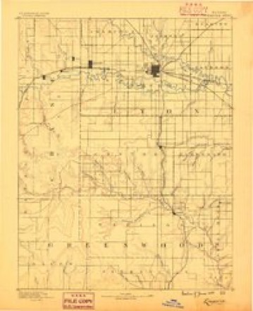
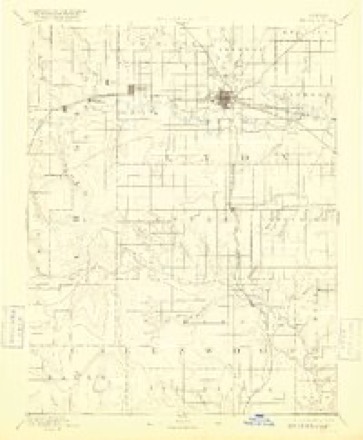
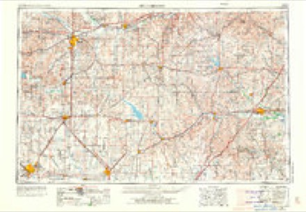
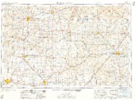
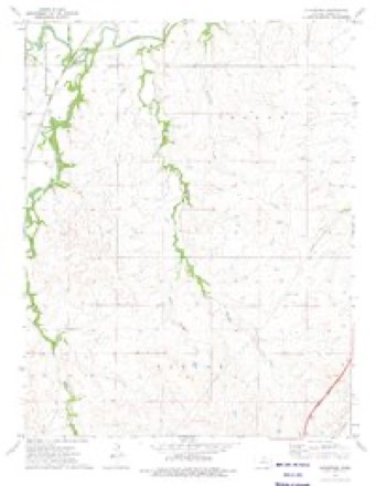
16 topographic sheets cover this place, the earliest surveyed in 1888 and the latest in 1985. It stands in Falls Township. It lies in ZIP code area 66845. The Survey maps it on the Gladstone quadrangle. It stands 1,175 feet above sea level.
Topographic sheets covering this place
6 surveys from 16 printed sheetsMatched by testing this settlement's coordinate against the published boundary of every sheet in the United States Geological Survey's historical collection. Each opens the scanned sheet at the Survey.
- 1888 USGS Emporia quadrangle1:125000
- 1894 USGS Emporia quadrangle1:125000, 7 printings
- 1955 USGS Hutchinson quadrangle1:250000, 3 printings
- 1959 USGS Hutchinson quadrangle1:250000, 2 printings
- 1973 USGS Gladstone quadrangle1:24000
- 1985 USGS Emporia quadrangle1:100000, 2 printings
Fires near this place
11 since 2015Regional context, not property-specific evidence. The federal wildfire occurrence database lists 11 fires within 5 miles of Gladstone between 2015 and 2016, burning about 350 acres in total. None started naturally. 1 was recorded as arson. Distance is straight-line from the map coordinates, so a fire counted here may appear on a neighbouring settlement's page as well.
| Reported cause | Fires |
|---|---|
| Debris and open burning | 6 |
| Equipment and vehicle use | 2 |
| Arson/incendiarism | 1 |
| Smoking | 1 |
| Missing data/not specified/undetermined | 1 |
The most recent of them, most recent first, with the day each was reported and the service that recorded it.
| Date | Cause | Size | Reported by | Name on the report |
|---|---|---|---|---|
| 7 April 2015 | Debris and open burning | 40 acres | Kansas Forest Service | 26 |
| 4 April 2015 | Debris and open burning | 60 acres | Kansas Forest Service | 24 |
| 21 April 2015 | Debris and open burning | 25 acres | Kansas Forest Service | 30 |
| 14 April 2016 | Missing data/not specified/undetermined | 121 acres | Chase County | 2 SECTION |
| 28 March 2015 | Debris and open burning | 35 acres | Kansas Forest Service | 18 |
| 25 March 2015 | Equipment and vehicle use | 12 acres | Kansas Forest Service | 17 |
| 21 March 2015 | Debris and open burning | 10 acres | Kansas Forest Service | 14 |
| 13 March 2015 | Arson/incendiarism | 2.0 acres | Kansas Forest Service | 7 |
Settlements close enough to share some of these fires:
Mines and quarries near this place
1 within 5 milesRegional context, not property-specific evidence. The federal mineral resources record lists 1 working within 5 miles of Gladstone: 1 producer. All of them still produce. What was taken out: Stone, Crushed/Broken. Distance is straight-line from the map coordinates, so a quarry counted here may appear on a neighbouring settlement's page as well.
| Where | Site | Commodity | Status | Recorded |
|---|---|---|---|---|
| Biggs Quarry | Stone, Crushed/Broken | Producer |
Storms near this place
1 since 2003Regional context, not property-specific evidence. The National Weather Service names Gladstone in 1 storm report in 2003: 1 flash flood. The reports record 6 deaths. Each account below is quoted exactly as the forecast office filed it, from the NOAA Storm Events Database, and each date opens the federal record of that event.
| When | Event | Place named | Harm | What the report says |
|---|---|---|---|---|
| August 2003 | Flash Flood | Gladstone | 6 killed, $250,000 | Torrential rains of 6-8 inches, occurring in about 3 hours, caused flash flooding of Jacob Creek along I-35, the Kansas Turnpike, near milepost 116, 12 miles southwest of Emporia. The exceptionally heavy rains turned what had been a nearly dry creek into a raging river that surged almost due north at a rate of about 4,100 cubic feet per second. The creek overflowed across the northeast bound lanes and against a concrete median separating the northeast bound from the southwest bound lanes. The median consisted of 10 cement barriers, each 20 feet long and weighing 10,000-20,000 pounds. The water pressure built to the point that the median suddenly broke, allowing 6 to 7 feet of water to surge in a mini tsunami-like manner across the rest of the interstate.Seven vehicles were swept off the turnpike. Of these, one was a minivan carrying a family of six. Of the six occupants, five perished. The fatalities comprised of one woman and four children, all four under 10 years of age. The woman's body was found about two miles from the interstate. Of the four children, three were found inside the minivan, while the fourth was found 3/4 mile from the vehicle. The husband had broken out a window and was sucked out of the vehicle in the process. The sixth fatality, a man, resulted when his vehicle had stalled. The concrete barriers were also washed into the creek.The seven vehicles were strewn about in a low-lying area of the Flint Hills. Just east of the minivan, two vehicles were partially submerged and a third was flipped upside down and leaning against a tree. There were no statements as to the whereabouts of the other three vehicles. It was the first time in 50 years that the Kansas Turnpike had flooded at this location.The Arkansas City Traveler, the Chanute Tribune, the Wichita Eagle and the U.S. Geological Survey all contributed greatly to this narrative. |
Nearest settlements
The eight closest, with where each one stands in the county. Distances are straight-line, computed from the Geographic Names Information System coordinates.
| Map | Place | Distance | Sheets |
|---|---|---|---|
| Cottonwood Falls | 3.3 miles | 12 | |
| Strong City | 4.4 miles | 14 | |
| Ellinor | 4.9 miles | 19 | |
| Bazaar | 5.4 miles | 12 | |
| Saffordville | 6.7 miles | 19 | |
| Neva | 7.5 miles | 14 | |
| Elmdale | 8.3 miles | 13 | |
| Toledo | 8.5 miles | 18 |
Elsewhere
Matched on this settlement's Geographic Names Information System number rather than its name, so it cannot be a different place of the same name in another state.
| Wikidata item Q124390626 | The structured record the population and elevation above come from. Public domain (CC0). |
Provenance
This settlement is recorded in the Geographic Names Information System as feature 484818. The sheet list is computed by point-in-boundary test against the United States Geological Survey's historical topographic inventory. Both are works of the United States government and carry no copyright under 17 U.S.C. 105.
Wildfire. Short, Karen C. 2022. Spatial wildfire occurrence data for the United States, 1992-2020 [FPA_FOD_20221014]. 6th Edition. Fort Collins, CO: Forest Service Research Data Archive. https://doi.org/10.2737/RDS-2013-0009.6 Collected with United States Government funding and usable without additional permissions or fees.
Mines and quarries. USGS Mineral Resources Data System (MRDS) https://mrdata.usgs.gov/mrds/ A work of the United States government, no copyright under 17 U.S.C. 105.
Storms. NOAA National Centers for Environmental Information, Storm Events Database https://www.ncei.noaa.gov/stormevents/ A work of the United States government, no copyright under 17 U.S.C. 105. Narratives are quoted verbatim from the National Weather Service report and are not edited or summarised.