 Block
Keats, Kansas
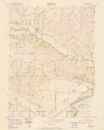
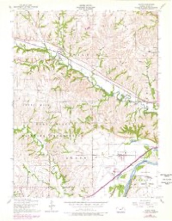
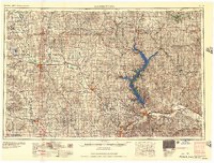
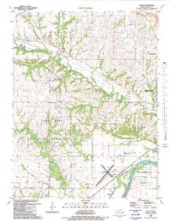
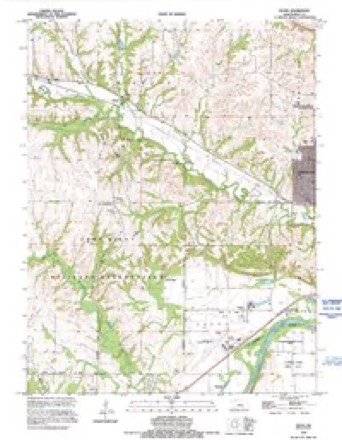
25 topographic sheets cover this place, the earliest surveyed in 1886 and the latest in 1992. It stands in Wildcat Township. It lies in ZIP code area 66503. It stands on Honey Creek. The Survey maps it on the Keats quadrangle.
Topographic sheets covering this place
13 surveys from 25 printed sheetsMatched by testing this settlement's coordinate against the published boundary of every sheet in the United States Geological Survey's historical collection. Each opens the scanned sheet at the Survey.
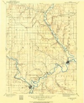
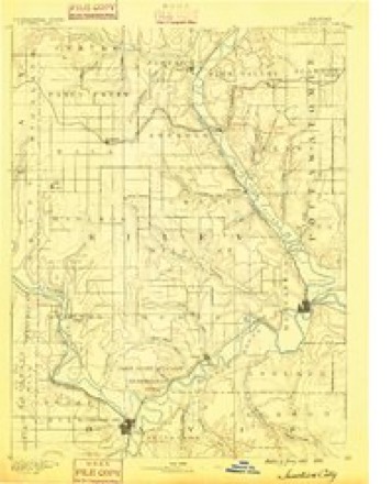
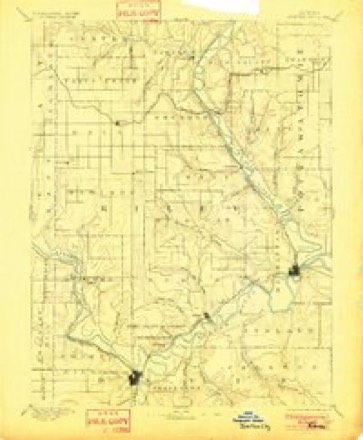
- 1886 USGS Junction City quadrangle1:125000
- 1889 USGS Junction City quadrangle1:125000
- 1894 USGS Junction City quadrangle1:125000, 7 printings
- 1947 USGS Manhattan quadrangle1:62500, 2 printings
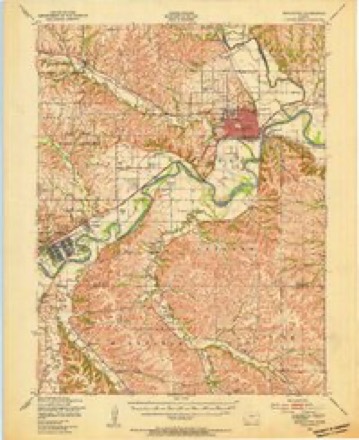
- 1950 USGS Keats quadrangle1:24000, 2 printings
- 1955 USGS Keats quadrangle1:24000, 2 printings
- 1955 USGS Manhattan quadrangle1:250000, 4 printings
- 1956 USGS Manhattan quadrangle1:250000
- 1957 USGS Manhattan quadrangle1:250000
- 1982 USGS Keats quadrangle1:24000
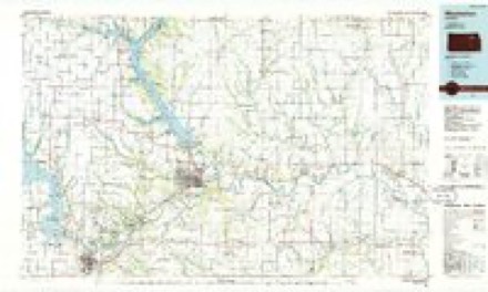
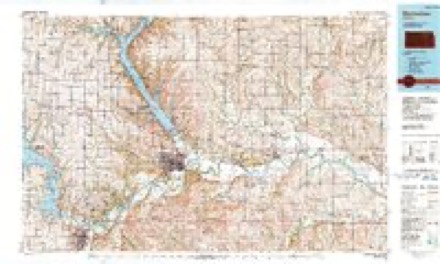
- 1985 USGS Manhattan quadrangle1:100000
- 1990 USGS Manhattan quadrangle1:100000
- 1992 USGS Keats quadrangle1:24000
Fires near this place
62 since 2003Regional context, not property-specific evidence. The federal wildfire occurrence database lists 62 fires within 5 miles of Keats between 2003 and 2020, burning about 16,600 acres in total. None started naturally. None was recorded as arson. Distance is straight-line from the map coordinates, so a fire counted here may appear on a neighbouring settlement's page as well.
| Reported cause | Fires |
|---|---|
| Debris and open burning | 31 |
| Missing data/not specified/undetermined | 21 |
| Equipment and vehicle use | 3 |
| Fireworks | 2 |
| Power generation/transmission/distribution | 2 |
| Smoking | 2 |
| Recreation and ceremony | 1 |
The most recent of them, most recent first, with the day each was reported and the service that recorded it.
| Date | Cause | Size | Reported by | Name on the report |
|---|---|---|---|---|
| 22 September 2018 | Debris and open burning | under an acre | Kansas Forest Service | 18608 |
| 7 July 2018 | Fireworks | under an acre | Kansas Forest Service | 1194 |
| 4 July 2018 | Fireworks | 3.0 acres | Kansas Forest Service | 1175 |
| 4 July 2017 | Missing data/not specified/undetermined | under an acre | Riley County | 1209 |
| 30 July 2017 | Missing data/not specified/undetermined | under an acre | Riley County | 1375 |
| 23 July 2017 | Missing data/not specified/undetermined | under an acre | Riley County | 1333 |
| 10 July 2017 | Missing data/not specified/undetermined | under an acre | Riley County | 1250 |
| 10 July 2017 | Debris and open burning | under an acre | Riley County | 238 |
Settlements close enough to share some of these fires:
Storms near this place
36 since 1994Regional context, not property-specific evidence. The National Weather Service names Keats in 36 storm reports between 1994 and 2024: 15 hail, 12 thunderstorm wind, 5 flash flood, 2 tornado. The reports record 3 injuries. Each account below is quoted exactly as the forecast office filed it, from the NOAA Storm Events Database, and each date opens the federal record of that event.
| When | Event | Place named | Harm | What the report says |
|---|---|---|---|---|
| September 2018 | Flash Flood | Keats | 3 hurt, $17,200,000 | Residents in the city of Keats were being evacuated due to the rapidly rising water on Wildcat Creek. The flooding of Wildcat creek resulted in an estimated 17.2 million dollars in losses to property. |
| June 2008 | Hail | Keats | $5,000,000 | Softball size hail demolished 98% of the cars parked at the Manhattan Regional Airport. Dents were also noted in the terminal building, and a stone hangar had it's windows blown out. Car dealerships and car rental facilities near the airport also report extreme damage to nearly every vehicle on the lot. Several hundred vehicles in the Manhattan Corporate Technology Park were severely dented by the large hail stones, and nary a car was left without having at least one window smashed. At the Auth-Florence Manufacturing Co. approximtely 250 employee cars were deemed total losses as a result of the hail. The hail between the size of baseballs, near Keats, and softballs, across the southwestern portion of Manhattan fell for nearly twenty minutes. Hail up to one and a quarter inches in diamter was reported across portions of the west side of the city of Manhattan. The homes in Random Woods looked to have suffered the most damage. It was reported by the local newspaper that several motorists were injured on K-18. These motorist had glass fly into their eyes when their windshields shattered as the hail fell. An exact number was not available.||Preliminary damage estimates were around $5,000,000- most of which was damage to vehicles. |
| May 2007 | Flood | Keats | $338,000 | Water two feet deep running over Reservation Dr. near Keats with some home affected and county roads closed. K-114 near Ogden has water flowing across all four lanes. The town of Ogden had substantial flooding with over 30 structures damaged and a number of families evacuated. Wildcat Creek in out of it's banks in Manhattan with floating metal trash dumpsters noted. Some apartments near the creek are being evacuated. Mobile homes near the creek also are flooded. At least 93 residences in Manhattan were affected. |
| May 1997 | Lightning | Keats | $25,000 | no account filed |
| May 2007 | Flash Flood | Keats | $20,000 | Report of water flowing over highway 77/177 at Mill Creek. In the 7000 block of Anderson Street water was flowing over the road. |
| July 2003 | Thunderstorm Wind | Keats | $5,000 | Strong winds knocked down power poles near Keats and caused a number of residents and businesses to be without power for a time. |
| June 1994 | Thunderstorm Wind | Keats | $5,000 | no account filed |
| August 2024 | Thunderstorm Wind | Keats | - | Report relayed by the EM. Damage to the roof of a garage. Time estimated radar and report was delayed. |
| May 2023 | Hail | Keats | - | Report of quarter sized hail. |
| May 2022 | Thunderstorm Wind | Keats | - | Measured at kmhk asos. |
| May 2022 | Thunderstorm Wind | Keats | - | Measured on personal weather station. Half dollar sized hail also reported. |
| May 2022 | Hail | Keats | - | Half dollar sized hail and damaging wind gust to 74 mph reported. |
| May 2022 | Flash Flood | Keats | - | Report of 4 feet of water over Kitten Creek Rd. |
| July 2022 | Hail | Keats | - | Report of nickel to half dollar sized hail. |
| July 2022 | Thunderstorm Wind | Keats | - | Personal weather station measured 61 mph wind gust. |
| July 2022 | Hail | Keats | - | Report of half dollar sized hail. |
| June 2022 | Thunderstorm Wind | Keats | - | Several wood power poles snapped and laying on highway 24, per NWS storm survey on June 12. Winds estimated at 80 mph. |
| June 2022 | Thunderstorm Wind | Keats | - | Wind measured via accuride. |
| June 2014 | Flash Flood | Keats | - | Deep rushing water 100 yards wide and up to 2 feet in depth crossing the road near Stockdale creek. Water was continuing to rise at the reported time. |
| June 2010 | Flash Flood | Keats | - | Numerous roads were reported flooded between Manhattan, Keats, and Ogden. Fort Riley Blvd and Wildcat Creek near Manhattan Airport closed. Anderson Avenue near Keats was also closed due to high water running over the road. |
| June 2010 | Thunderstorm Wind | Keats | - | An NWS employee reported a 60 mph wind gust along Highway 24 near Manhattan. A 70 mph wind gust was reported near Riley, where power was lost. |
| June 2009 | Thunderstorm Wind | Keats | - | A tree fell onto a house. |
| July 2009 | Thunderstorm Wind | Keats | - | Winds of 50 to 60 mph were reported by the public. |
| June 2008 | Hail | Keats | - | The first few reports of large hail began to trickle in along this path. The hail was generally reported to be in the quarter to golf ball size range at during this period of time. Approximiately twenty five vehicles were damaged at Fort Riley by quarter size hail. |
| November 2005 | Tornado (F0) | Keats | - | The tornado briefly touched down in Keats, moved north and quickly dissipated. It caused F0 damage to trees only and no other damage or injuries were reported. The parent thunderstorm was a mini-supercell. |
| June 2024 | Hail | Keats | - | no account filed |
| June 2024 | Hail | Keats | - | no account filed |
| August 2019 | Hail | Keats | - | no account filed |
| June 2015 | Hail | Keats | - | no account filed |
| June 2013 | Hail | Keats | - | no account filed |
| May 2011 | Hail | Keats | - | no account filed |
| May 2011 | Hail | Keats | - | no account filed |
| June 2011 | Hail | Keats | - | no account filed |
| June 2008 | Hail | Keats | - | no account filed |
| May 2003 | Thunderstorm Wind | Keats | - | no account filed |
| June 1996 | Tornado (F0) | Keats | - | no account filed |
Nearest settlements
The eight closest, with where each one stands in the county. Distances are straight-line, computed from the Geographic Names Information System coordinates.
| Map | Place | Distance | Sheets |
|---|---|---|---|
| Elm Hollow Corner | 2.4 miles | 25 | |
| Eureka Lake | 6.2 miles | 25 | |
| Rocky Ford | 6.4 miles | 27 | |
| Sunset Park | 6.8 miles | 27 | |
| Ogden | 7.8 miles | 25 | |
| Manhattan | 7.8 miles | 27 | |
| Bluemont Hill | 8.2 miles | 27 | |
| Riley | 8.3 miles | 19 |
Provenance
This settlement is recorded in the Geographic Names Information System as feature 476351. The sheet list is computed by point-in-boundary test against the United States Geological Survey's historical topographic inventory. Both are works of the United States government and carry no copyright under 17 U.S.C. 105.
Wildfire. Short, Karen C. 2022. Spatial wildfire occurrence data for the United States, 1992-2020 [FPA_FOD_20221014]. 6th Edition. Fort Collins, CO: Forest Service Research Data Archive. https://doi.org/10.2737/RDS-2013-0009.6 Collected with United States Government funding and usable without additional permissions or fees.
Storms. NOAA National Centers for Environmental Information, Storm Events Database https://www.ncei.noaa.gov/stormevents/ A work of the United States government, no copyright under 17 U.S.C. 105. Narratives are quoted verbatim from the National Weather Service report and are not edited or summarised.