 Block
Ogden, Kansas
25 topographic sheets cover this place, the earliest surveyed in 1886 and the latest in 1990. It stands in Ogden Township. It lies in ZIP code area 66517. It stands on Dry Branch. The Survey maps it on the Ogden quadrangle. 1,661 people lived here at the 2020 count. It stands 1,043 feet above sea level.
Population over time
2 figuresOgden fell from 2,087 to 1,661 between 2010 and 2020. These are the recorded population figures Wikidata holds for this place, reached through the Geographic Names Information System number this page is keyed on rather than by name, so they belong to this place and not to another of the same name. Most are census counts, but not all are: an early figure may be a founding or settlement estimate, and an estimate published within five years of a census is left out. The change column is computed, and is left blank where more than 20 years separate a figure from the one before it, because a gap that long is not a change between two counts.
| Year | People | Change |
|---|---|---|
| 2010 | 2,087 | |
| 2020 | 1,661 | -426 (-20%) |
Topographic sheets covering this place
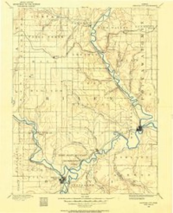
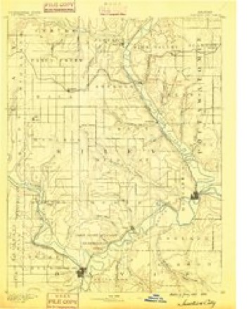
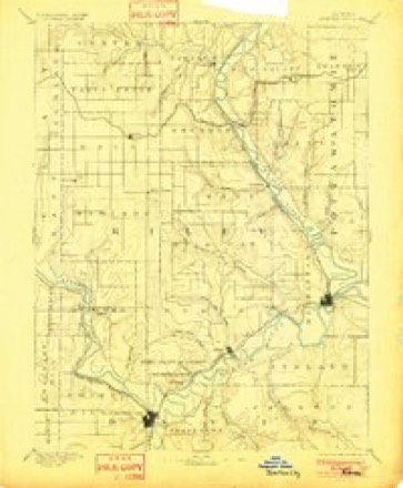
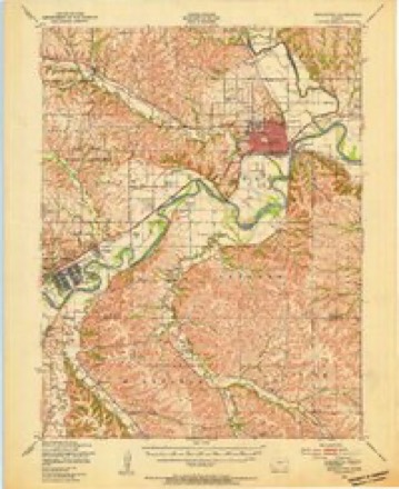
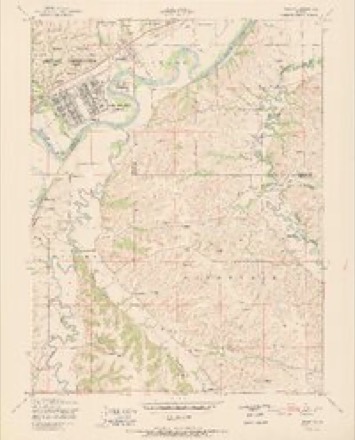
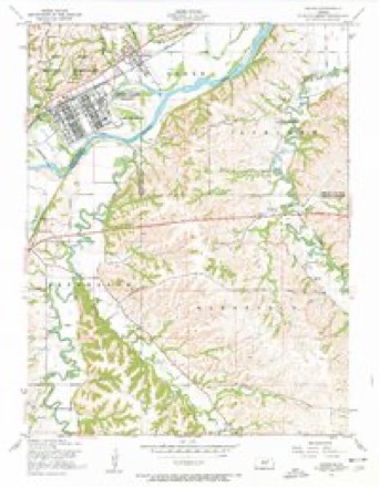
12 surveys from 25 printed sheetsMatched by testing this settlement's coordinate against the published boundary of every sheet in the United States Geological Survey's historical collection. Each opens the scanned sheet at the Survey.
- 1886 USGS Junction City quadrangle1:125000
- 1889 USGS Junction City quadrangle1:125000
- 1894 USGS Junction City quadrangle1:125000, 7 printings
- 1947 USGS Manhattan quadrangle1:62500, 2 printings
- 1951 USGS Ogden quadrangle1:24000, 2 printings
- 1955 USGS Manhattan quadrangle1:250000, 4 printings
- 1955 USGS Ogden quadrangle1:24000, 3 printings
- 1956 USGS Manhattan quadrangle1:250000
- 1957 USGS Manhattan quadrangle1:250000
- 1982 USGS Ogden quadrangle1:24000
- 1985 USGS Manhattan quadrangle1:100000
- 1990 USGS Manhattan quadrangle1:100000
Fires near this place
26 since 2004Regional context, not property-specific evidence. The federal wildfire occurrence database lists 26 fires within 5 miles of Ogden between 2004 and 2020, burning about 8,160 acres in total. 1 started naturally. None was recorded as arson. Distance is straight-line from the map coordinates, so a fire counted here may appear on a neighbouring settlement's page as well.
| Reported cause | Fires |
|---|---|
| Debris and open burning | 13 |
| Missing data/not specified/undetermined | 7 |
| Equipment and vehicle use | 2 |
| Smoking | 2 |
| Natural | 1 |
| Power generation/transmission/distribution | 1 |
The most recent of them, most recent first, with the day each was reported and the service that recorded it.
| Date | Cause | Size | Reported by | Name on the report |
|---|---|---|---|---|
| 21 August 2015 | Missing data/not specified/undetermined | 1.0 acres | Kansas Forest Service | 91 |
| 5 June 2015 | Natural | under an acre | Kansas Forest Service | 165 |
| 18 June 2018 | Equipment and vehicle use | 2.5 acres | Kansas Forest Service | 101 |
| 15 May 2018 | Missing data/not specified/undetermined | 4.0 acres | Kansas Forest Service | 18291 |
| 5 April 2018 | Debris and open burning | 40 acres | Kansas Forest Service | 50 |
| 4 April 2016 | Missing data/not specified/undetermined | 400 acres | Riley County | LYONS RANCH |
| 11 April 2015 | Debris and open burning | under an acre | Kansas Forest Service | 119 |
| 10 April 2018 | Debris and open burning | 1.1 acres | Kansas Forest Service | 59 |
Settlements close enough to share some of these fires:
Storms near this place
31 since 1996Regional context, not property-specific evidence. The National Weather Service names Ogden in 31 storm reports between 1996 and 2025: 17 hail, 7 thunderstorm wind, 4 tornado, 2 flash flood. No death or injury is recorded in these reports. Each account below is quoted exactly as the forecast office filed it, from the NOAA Storm Events Database, and each date opens the federal record of that event.
| When | Event | Place named | Harm | What the report says |
|---|---|---|---|---|
| June 2008 | Tornado (EF4) | Ogden | $66,000,000 | The tornado touched down to the southwest of Manahattan on a farm, and first destroyed a large machine shed, and threw a grain cart into an adjacent field. The tornado tracked to the northeast and destroyed several homes that were in the process of being built. Then, the tornado entered the Miller Ranch area of Manhattan, where the EF-4 damage was observed. Fifteen well built homes were completely destroyed. Nearby in the Amherst residential area, approximately thirty homes were damaged. A local newspaper reported that 45 residences in Manhattan were destroyed, 142 were damaged, and 637 were affected by the tornado. Ninety three apartments or duplexes, twenty mobile homes, and ten total businesses were impacted. Thereafter, the windows at the Little Apple Honda/Toyota car dealership were blown out, and several cars on the lots were tossed. A nearby hardware store and several self-storage units were demolished. Other nearby businesses were also damaged. The Lee Elementary School was then damaged. The tornado continued toward the Kansas State University campus. There, the roof was blown off a fraternity house, windows were blown out of buildings, the USDA Wind Erosion Labratory roof was damaged, and debris from damage to the southwest was blown across the campus. Summer classes at the University were shuffled around to find appropriate, undamaged buildings to hold summer students. New student orientation was also going on the week the tornado struck. It was reported that $37 million dollars in damage was done to the KSU campus alone.||The total preliminary damage estimate from the Manhattan torando was approximately $71 million. Off-campus, $22 million in structural damage was reported, as was $7 million in vehicle damage. |
| November 2005 | Tornado (F1) | Ogden | $800,000 | The tornado entered Riley county from Geary county 2 miles westsouthwest of Ogden and crossed Fort Riley Army Base. The tornado moved north for approximately one mile in Riley county before dissipating two miles west of Ogden. The tornado caused siding, window, roof, tree, and car damage in the Ellis Heights housing area on the base with 32 homes in all receiving minor damage. The parent thunderstorm was a mini-supercell. |
| August 2010 | Thunderstorm Wind | Ogden | $400,000 | A wind measuring instrument mounted to the roof of the Air Traffic Control tower at Manhattan Regional Airport measured a 93 mph wind gust. The ASOS station at Manhattan Regional Airport also reported a strong wind gust of 68 mph. In the town of Ogden the windows of a residence were cracked by the force of the wind. No estimation of the wind speed was given by this resident. Kansas State University also sustained some significant damage, as wind damage to Anderson Hall's roof resulted in over a quarter million dollars in repairs. In and around Manhattan, numerous outbuildings were damaged and destroyed. Widespread power line and tree damage was also noted across the city, resulting in many damaged roofs and widespread power outages. |
| May 2007 | Flash Flood | Ogden | $250,000 | Seven Mile creek and Dry Branch creek flooding portions of the town of Ogden. Wildcat creek beginning to block portions of Scenic drive. Residents of approximately 50 homes are being evacuated...or being helped to move belongings to higher ground. Some sandbagging occurring. Schools were closed and Ogden was isolated for a period of time. Also, a portion of some railroad tracks were washed out around Ogden. |
| May 2002 | Lightning | Ogden | $5,000 | Lightning struck a shop and ignited a fire that destroyed part of the shop. |
| June 2000 | Thunderstorm Wind | Ogden | $1,000 | Winds to 71 mph broke off an ameteur radio antenna. |
| June 2022 | Thunderstorm Wind | Ogden | - | Large tree uprooted, several large branches down in eastern Ogden. |
| May 2020 | Hail | Ogden | - | Public reported golf ball size hail. |
| August 2019 | Tornado (EFU) | Ogden | - | Spotter network report of a small brief tornado corresponded with radar data in this location. No damage reported. |
| April 2016 | Hail | Ogden | - | Quarter size hail reported by Emergency Manager. |
| July 2011 | Thunderstorm Wind | Ogden | - | Power lines down and tree damage on the south side of Ogden. |
| August 2009 | Thunderstorm Wind | Ogden | - | A trained spotter reported an estimated 60 mph wind gust. |
| April 2009 | Flash Flood | Ogden | - | Several reports of flash flooding on roadways in Riley County. Closures due to high running water were noted on Eureka Drive and Roever Road north of the Manhattan Regional Airport, as well as along Skyway Drive and Airport Road to the southeast of the Manhattan Airport runways. Near Ogden, Honeydew Lane on the northeast side of town was inundated by flash flood waters. |
| June 2009 | Hail | Ogden | - | Winds were reported at 50 mph. |
| September 2001 | Tornado (F0) | Ogden | - | A tornado touched down briefly over open areas of Fort Riley damaging some trees. |
| April 2025 | Hail | Ogden | - | no account filed |
| June 2010 | Hail | Ogden | - | no account filed |
| August 2009 | Hail | Ogden | - | no account filed |
| August 2009 | Hail | Ogden | - | no account filed |
| June 2008 | Hail | Ogden | - | no account filed |
| April 2006 | Hail | Ogden | - | no account filed |
| March 2004 | Hail | Ogden | - | no account filed |
| May 2002 | Hail | Ogden | - | no account filed |
| May 2002 | Hail | Ogden | - | no account filed |
| May 2002 | Hail | Ogden | - | no account filed |
| April 2002 | Hail | Ogden | - | no account filed |
| April 2002 | Hail | Ogden | - | no account filed |
| June 2002 | Thunderstorm Wind | Ogden | - | no account filed |
| June 2001 | Hail | Ogden | - | no account filed |
| June 1998 | Hail | Ogden | - | no account filed |
| July 1996 | Thunderstorm Wind | Ogden | - | no account filed |
Nearest settlements
The eight closest, with where each one stands in the county. Distances are straight-line, computed from the Geographic Names Information System coordinates.
| Map | Place | Distance | Sheets |
|---|---|---|---|
| Eureka Lake | 4.5 miles | 25 | |
| Elm Hollow Corner | 5.4 miles | 25 | |
| Sunset Park | 7.3 miles | 27 | |
| Keats | 7.8 miles | 25 | |
| Manhattan | 8.7 miles | 27 | |
| Fairmont | 9.5 miles | 27 | |
| Bluemont Hill | 9.6 miles | 27 | |
| Rocky Ford | 10.7 miles | 27 |
Elsewhere
Matched on this settlement's Geographic Names Information System number rather than its name, so it cannot be a different place of the same name in another state.
| Wikipedia article on Ogden | An encyclopaedic summary. Its text is share-alike, so it is linked here rather than copied. |
| Wikidata item Q2496717 | The structured record the population and elevation above come from. Public domain (CC0). |
Provenance
This settlement is recorded in the Geographic Names Information System as feature 476571. The sheet list is computed by point-in-boundary test against the United States Geological Survey's historical topographic inventory. Both are works of the United States government and carry no copyright under 17 U.S.C. 105.
Wildfire. Short, Karen C. 2022. Spatial wildfire occurrence data for the United States, 1992-2020 [FPA_FOD_20221014]. 6th Edition. Fort Collins, CO: Forest Service Research Data Archive. https://doi.org/10.2737/RDS-2013-0009.6 Collected with United States Government funding and usable without additional permissions or fees.
Storms. NOAA National Centers for Environmental Information, Storm Events Database https://www.ncei.noaa.gov/stormevents/ A work of the United States government, no copyright under 17 U.S.C. 105. Narratives are quoted verbatim from the National Weather Service report and are not edited or summarised.