 Block
Lakin, Kansas
15 topographic sheets cover this place, the earliest surveyed in 1891 and the latest in 1987. It stands in Lakin Township. It lies in ZIP code area 67860. It stands on Sand Creek. The Survey maps it on the Lakin quadrangle. 2,205 people lived here at the 2020 count. It stands 3,002 feet above sea level.
On record in Lakin
Buildings and businesses the archive holds for this place. Each opens its own page, with the source record it came from.
On the National Register 1 record
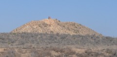 Indian Moundlisted 2013
Population over time
2 figuresLakin fell from 2,216 to 2,205 between 2010 and 2020. These are the recorded population figures Wikidata holds for this place, reached through the Geographic Names Information System number this page is keyed on rather than by name, so they belong to this place and not to another of the same name. Most are census counts, but not all are: an early figure may be a founding or settlement estimate, and an estimate published within five years of a census is left out. The change column is computed, and is left blank where more than 20 years separate a figure from the one before it, because a gap that long is not a change between two counts.
| Year | People | Change |
|---|---|---|
| 2010 | 2,216 | |
| 2020 | 2,205 | -11 (-0%) |
Topographic sheets covering this place
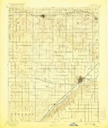
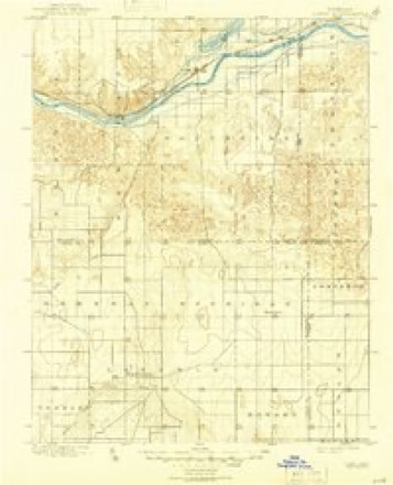
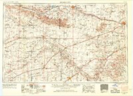
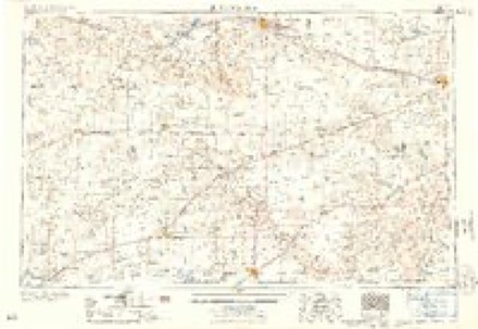
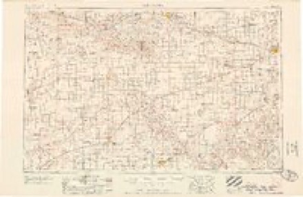
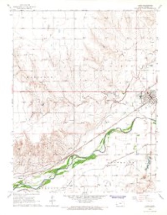
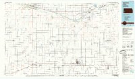
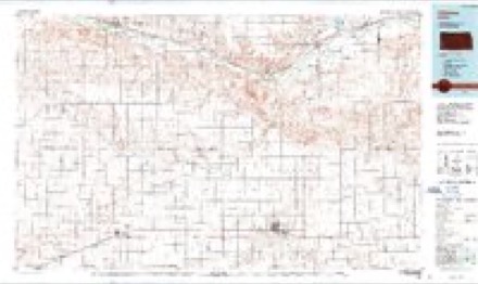
8 surveys from 15 printed sheetsMatched by testing this settlement's coordinate against the published boundary of every sheet in the United States Geological Survey's historical collection. Each opens the scanned sheet at the Survey.
- 1891 USGS Larned quadrangle1:125000
- 1900 USGS Lakin quadrangle1:125000, 5 printings
- 1955 USGS Dodge City quadrangle1:250000, 3 printings
- 1958 USGS Dodge City quadrangle1:250000
- 1959 USGS Dodge City quadrangle1:250000
- 1966 USGS Lakin quadrangle1:24000, 2 printings
- 1985 USGS Ulysses quadrangle1:100000
- 1987 USGS Ulysses quadrangle1:100000
Storms near this place
60 of 359 shownRegional context, not property-specific evidence. The National Weather Service names Lakin in 359 storm reports between 1993 and 2025: 237 hail, 89 thunderstorm wind, 13 tornado, 10 heavy rain. The reports record 2 injuries. Each account below is quoted exactly as the forecast office filed it, from the NOAA Storm Events Database, and each date opens the federal record of that event.
| When | Event | Place named | Harm | What the report says |
|---|---|---|---|---|
| October 2008 | Thunderstorm Wind | Lakin | 2 hurt, $3,500,000 | Thunderstorm winds were estimated to be from 90 to 100 mph. A mobile home was destroyed and another was heavily damaged. Two occupants of the destroyed trailer were injured, on seriously. There were also 16 pivot irrigation sprinklers overturned in a 4 mile radius of this location. In addition, 20 power poles were snapped and a large grain bin was destroyed. Large hay bales were blown around and all windows in the machinery and vehicles were blown out. |
| September 1993 | Hail | Lakin | $500,000 | no account filed |
| April 2010 | Tornado (EF1) | Lakin | $180,000 | This tornado was a mile wide at it's maximum size as witnessed by storm chasers and storm spotters. It did minimal damage to pivot sprinklers and barns as this was a very sparsely populated area. |
| August 1997 | Flash Flood | Lakin | $100,000 | Widespread stratiform rain fell producing 5 to 10 inches. Flooding washed out a bridge on highway 25 between Lakin and Leoti. A watershed lake filled up to capacity...one that had not had water in it for over 30 years. Rainfall of 2 to 5 inches was widespread across the entire county and other parts of southwest and west central Kansas. |
| June 1995 | Hail | Lakin | $50,000 | Water over Highway 25. |
| September 1993 | Thunderstorm Wind | Lakin | $50,000 | no account filed |
| March 2001 | Thunderstorm Wind | Lakin | $7,000 | The roof was blown off a building, a semi was overturned and power lines were brought down. |
| June 2000 | Thunderstorm Wind | Lakin | $1,500 | Three power poles blown down. |
| July 2009 | Flood | Lakin | $1,000 | Several farm roads were washed out by the heavy rainfall. Amounts of 4 1/2 inches were reported in a span of 45 to 60 minutes. Damage estimates were never made available. |
| June 2000 | Thunderstorm Wind | Lakin | $1,000 | Several poles blown down. |
| September 2025 | Thunderstorm Wind | Lakin | - | Mesonet station DW5288 Kendall recorded a 64 mph wind gust. |
| May 2025 | Hail | Lakin | - | Kearny county emergency manager reported 1 inch hail. |
| August 2025 | Thunderstorm Wind | Lakin | - | A public report of a 65 mph wind gust. |
| July 2025 | Thunderstorm Wind | Lakin | - | Measured at the mesonet site D5288. |
| May 2023 | Heavy Rain | Lakin | - | NWS employee reported 2.77 inches of rain fell 6ESE of Kendall. |
| June 2023 | Thunderstorm Wind | Lakin | - | Numerous reports of tree limb damage across town. |
| June 2023 | Flash Flood | Lakin | - | Several stalled cars across town due to flooded streets. Many roads, including highway 50 through town were curb to curb with water. |
| June 2023 | Thunderstorm Wind | Lakin | - | Reported by a storm chaser. |
| July 2023 | Thunderstorm Wind | Lakin | - | Strong Winds. |
| July 2023 | Thunderstorm Wind | Lakin | - | Social Media reports of power out and tree limbs down in the city of Lakin. |
| July 2023 | Thunderstorm Wind | Lakin | - | Social media report of an enclosed trailer flipperd and center pivot down. |
| May 2022 | Thunderstorm Wind | Lakin | - | Observed in Lakin. |
| May 2021 | Heavy Rain | Lakin | - | Rainfall of 2.64 was observed. |
| May 2020 | Tornado (EFU) | Lakin | - | This was a slow moving elephant trunk tornado but there was nothing for the tornado to damage as it moved across sagebrush and pastures. |
| July 2020 | Thunderstorm Wind | Lakin | - | A semi truck was blown over by high wind. |
| July 2020 | Thunderstorm Wind | Lakin | - | There were several reports of 6 to 8 inch diameter tree branches blown down. |
| July 2020 | Thunderstorm Wind | Lakin | - | Shingles were blown off several roofs and a few trees were blown down. |
| June 2020 | Hail | Lakin | - | The hail lasted 5 minutes. |
| May 2018 | Thunderstorm Wind | Lakin | - | Winds were estimated to be 70 MPH. |
| August 2018 | Flash Flood | Lakin | - | There were multiple reports of county roads and highways flooded from excessive rainfall. |
| August 2018 | Heavy Rain | Lakin | - | Rainfall of 4.80 inches was observed. |
| June 2018 | Thunderstorm Wind | Lakin | - | Winds were estimated to be 70 to 75 MPH. |
| May 2017 | Thunderstorm Wind | Lakin | - | Winds were estimated to be 60 MPH. |
| June 2017 | Thunderstorm Wind | Lakin | - | Winds were estimated to be 60 MPH. |
| June 2017 | Thunderstorm Wind | Lakin | - | Wind gusts were estimated to be 70 MPH. |
| July 2017 | Heavy Rain | Lakin | - | Rainfall was 2.06 inches. |
| June 2016 | Thunderstorm Wind | Lakin | - | Winds were estimated to be 60 MPH. |
| August 2016 | Heavy Rain | Lakin | - | Rainfall of 2.70 inches was observed. Bar ditches were full with water flowing across River Road in some spots. |
| May 2013 | Tornado (EF0) | Lakin | - | Three tornadoes were observed. from 1850 - 1923 CDT. |
| May 2013 | Tornado (EF0) | Lakin | - | A brief spin-up was observed lifting dirt but no damage was reported. |
| May 2013 | Hail | Lakin | - | The hail piled up to 2 inches in depth. |
| October 2013 | Thunderstorm Wind | Lakin | - | Damage occurred to the side of a mobile home. Power lines were also blown down by the high wind gusts. |
| October 2013 | Thunderstorm Wind | Lakin | - | Power lines were blown down by the high wind. |
| June 2013 | Tornado (EF0) | Lakin | - | This tornado developed at an occlusion of the gust front but did not strike anything. |
| August 2013 | Thunderstorm Wind | Lakin | - | Winds were estimated to be 70 MPH. |
| August 2013 | Thunderstorm Wind | Lakin | - | Roofs were blown off two homes and a metal shed was total destroyed by the high winds. |
| August 2013 | Thunderstorm Wind | Lakin | - | Two barns were destroyed at a dairy and five cattle were killed. |
| May 2013 | Tornado (EF0) | Lakin | - | A brief spin-up was observed lifting dirt but no damage was reported. |
| June 2012 | Heavy Rain | Lakin | - | Rainfall of 2.0 was measured during this period. |
| June 2012 | Heavy Rain | Lakin | - | Rainfall of 1.75 was measured during this period. |
| June 2011 | Thunderstorm Wind | Lakin | - | A semi truck was blown over at a location 2 miles north of the Grant and Kearny county line on K25. |
| June 2011 | Thunderstorm Wind | Lakin | - | Winds were estimated to be 60 MPH. |
| June 2011 | Thunderstorm Wind | Lakin | - | Wind gusts were estimated to be 60 MPH and there was fence damage in the area. |
| June 2011 | Thunderstorm Wind | Lakin | - | Winds were estimated to be 65 MPH. |
| June 2011 | Thunderstorm Wind | Lakin | - | Numerous tree branches were broken along with a few power poles. |
| June 2011 | Thunderstorm Wind | Lakin | - | A semi truck was blown over on highway 50 near mile marker 37. |
| August 2010 | Thunderstorm Wind | Lakin | - | Power lines were blown down. |
| June 2009 | Thunderstorm Wind | Lakin | - | Six to eight inch diameter tree limbs were broken, some of which brought down power lines. |
| June 2009 | Thunderstorm Wind | Lakin | - | A trained spotter indicated the winds were about 60 mph. |
| July 2009 | Hail | Lakin | - | There was extensive crop damage as the hail was driven by 60 to 80 mph winds. |
Nearest settlements
The eight closest, with where each one stands in the county. Distances are straight-line, computed from the Geographic Names Information System coordinates.
Elsewhere
Matched on this settlement's Geographic Names Information System number rather than its name, so it cannot be a different place of the same name in another state.
| Wikipedia article on Lakin | An encyclopaedic summary. Its text is share-alike, so it is linked here rather than copied. |
| Wikidata item Q1004691 | The structured record the population and elevation above come from. Public domain (CC0). |
Provenance
This settlement is recorded in the Geographic Names Information System as feature 471593. The sheet list is computed by point-in-boundary test against the United States Geological Survey's historical topographic inventory. Both are works of the United States government and carry no copyright under 17 U.S.C. 105.
Storms. NOAA National Centers for Environmental Information, Storm Events Database https://www.ncei.noaa.gov/stormevents/ A work of the United States government, no copyright under 17 U.S.C. 105. Narratives are quoted verbatim from the National Weather Service report and are not edited or summarised.